Browse / Mexico / México / Nezahualcóyotl
Nezahualcóyotl
Méxicocity
Total population
1,077,208
Air quality index
Demographic figures from INEGI. Overview below cites Wikipedia and may reference a different year.
City facts
Overview
As a major city in México, Mexico, Nezahualcóyotl occupies its own corner of the country. Recent open-data figures place its population at about 1,077,208. Coordinates of 19.408°, -99.018° situate Nezahualcóyotl in the tropical zone of the northern hemisphere. Solar-resource estimates put the area at about 2,011 kWh/m² of solar irradiance per year with sunshine for roughly 79% of daylight hours. Climatically, locations at this latitude tend to experience warm temperatures throughout the year with pronounced wet and dry seasons. Further detail — demographics, climate, nearby amenities and natural-hazard data — is compiled below from public open-data sources.
Summary composed automatically from structured open data on this page. See our Terms for details.
History & geography
Geography
Coordinates & boundaries from the US Census TIGER/Line shapefiles.
Climate
Air quality
Current readings from Open-Meteo Air Quality API (Copernicus CAMS European reanalysis).
Walkability
Amenities nearby
Wildlife & biodiversity
Most-observed species
- Great-tailed GrackleQuiscalus mexicanus (Gmelin, 1788) · Aves26,627
- House FinchHaemorhous mexicanus (P.L.Statius Müller, 1776) · Aves25,274
- Inca DoveColumbina inca (R.Lesson, 1847) · Aves23,866
- House SparrowPasser domesticus (Linnaeus, 1758) · Aves23,527
- Bewick's WrenThryomanes bewickii (Audubon, 1827) · Aves17,765
- Berylline HummingbirdSaucerottia beryllina (Deppe, 1830) · Aves14,808
- Canyon TowheeMelozone fusca (Swainson, 1827) · Aves14,472
- Vermilion FlycatcherPyrocephalus rubinus (Boddaert, 1783) · Aves12,902
Citizen-science & research observations from the Global Biodiversity Information Facility (GBIF).
Earthquake history
Most recent
- M 2.9 — 2024-09-262 km N of Álvaro Obregón, Mexico
- M 3.2 — 2023-05-113 km SSE of Colonia Nativitas, Mexico
- M 3.1 — 2019-07-173 km ESE of Venustiano Carranza, Mexico
- M 4.1 — 2013-05-0612 km NW of San Pedro Benito Juárez, Mexico
- M 3.2 — 2008-12-135 km E of San Martín Ahuatepec, Mexico
- M 3.2 — 2008-10-052 km ESE of Yecapixtla, Mexico
Events from the USGS Earthquake Catalog (global) (FDSN Event Web Service).
Photos
Sights & places nearby
Notable people from here


People born within ~10 km, from Wikidata (CC0). Click any name for their Wikipedia article.
Nearby places in México
- Chimalhuacán4.3 mi away · pop. 612,383
- Cuautlalpan7.8 mi away
- San Bernardino9.2 mi away
- Xico10 mi away · pop. 356,352
- Chalco de Díaz Covarrubias12.9 mi away · pop. 174,704
- Jorge Jiménez Cantú13.1 mi away · pop. 9,480
- La Resurrección13.5 mi away
- San Miguel Totolcingo14.8 mi away
- San Pablo Atlazalpan15 mi away
- Santa Catarina Ayotzingo15 mi away
- Santiago Zula15.5 mi away · pop. 2,292
- Rancho Santa María Atoyac15.5 mi away · pop. 1,537
Geography & sun
Elevation, sunrise/sunset and daylight from Open-Meteo. Solar climatology from NASA POWER.
Nearby airports
Public attention
Books about Nezahualcóyotl


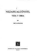


Search results from Open Library.
Recent natural events nearby
Ground air-quality sensors
Recently spotted species
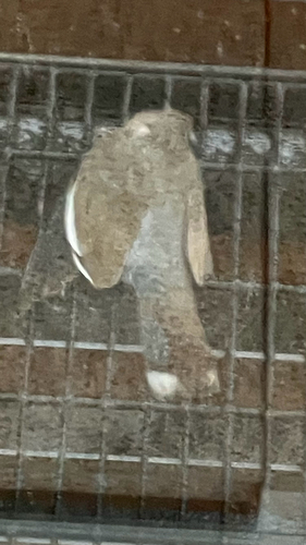
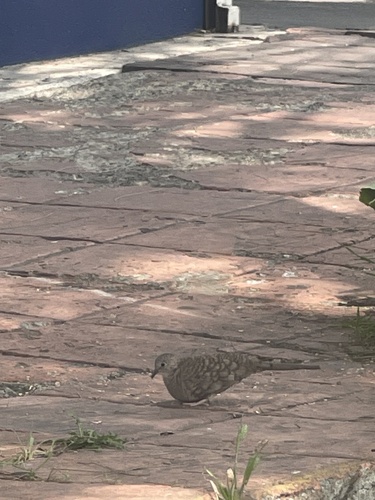
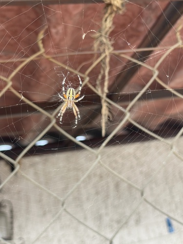
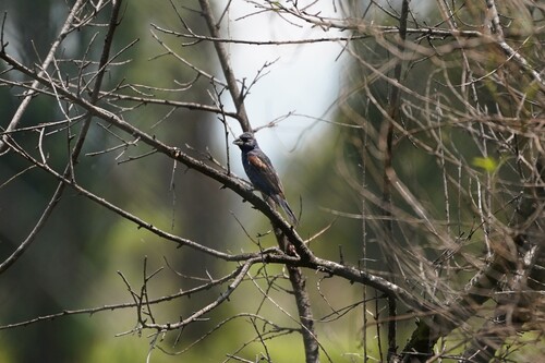
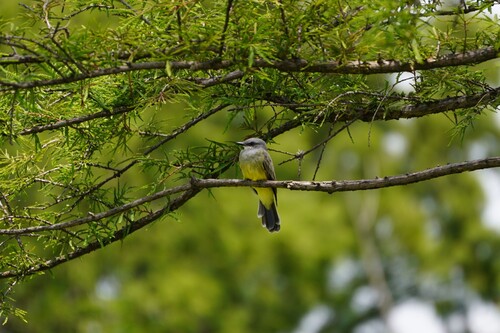
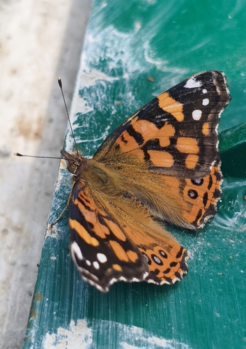

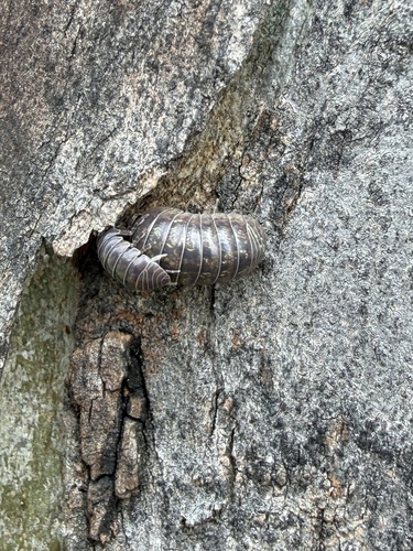
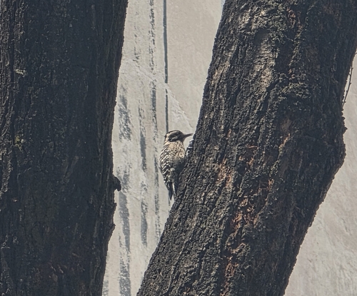
Research-grade observations from iNaturalist (within ~15 mi).
Events
Gallery
Official Identifiers
INEGI — Mexican National Statistics
- Clave INEGI
- 15058
- State prefix
- 15
- Population (Wikidata)
- 1,110,565
- Wikidata
- Q3313478
Claves de municipios via Wikidata P3801
Sources
- • Wikidata
- • Open-Meteo Air Quality (CAMS)
- • USGS Earthquake Catalog (global feed)
- • GBIF (Global Biodiversity Information Facility)
- • iNaturalist
- • Open-Meteo / sunrise-sunset.org
- • Open Library
- • INEGI — Mexican national statistics, municipality ID via Wikidata P3801 (clave INEGI, state prefix, municipality code)
- • INEGI — Mexican National Statistics — Claves de municipios via Wikidata P3801