Browse / Malaysia / Perak / Ipoh
Ipoh
Perakcity

Ipoh
Total population
759,952
Demographic figures from Department of Statistics Malaysia. Overview below cites Wikipedia and may reference a different year.
City facts
Sister cities
Facts from Wikidata (CC0).
Overview
Ipoh is the capital city of the Malaysian state of Perak. Located on the Kinta River, it is nearly 200 km (120 mi) north of Kuala Lumpur and 150 km (93 mi) southeast of George Town in neighbouring Penang. As of the 2020 census, Ipoh had a population of 759,952, making it the ninth-largest city in Malaysia by population and the fourth most populous state capital, after Johor Bahru, Shah Alam and George Town.
Read more on WikipediaHistory & geography
History
Originally a village, Ipoh began to grow rapidly in the 1880s after huge deposits of tin were discovered within its vicinity. Its geographic location in the rich tin-bearing valley of the Kinta River made it a natural centre of growth. The Great Fire of Ipoh in 1892 destroyed over half the town, but also presented an opportunity to rebuild the town in a more orderly grid pattern. By 1895, it was the second largest town within the Federated Malay States, which also consisted of Selangor, Negeri Sembilan, and Pahang. Ipoh was then rebuilt in time for the second tin rush and grew rapidly as a result of the booming tin mining industry, particularly in the 1920s and 1930s. A local Hakka miner, millionaire Yau Tet Shin, started developing a large tract of the town in the early 1930s, today known as the "New Town", from the eastern bank of the Kinta River to Greentown. In 1937, Ipoh was made the capital of Perak, replacing Taiping. Ipoh was invaded by the Japanese on 15 December 1941. In March 1942, the Japanese Civil Administration or Perak Shu Seicho was set up at St. Michael's Institution. After the liberation of Malaya by British forces, Ipoh remained the capital of Perak as it does to this day. After depletion of its tin deposits and the collapse of tin prices in the 1970s, the city suffered decades of decline and neglect. With the closure of the tin mines, its urban population was forced to seek employment in other cities within Malaysia. In spite of this, Ipoh remains one of the largest cities in Malaysia in terms of population, with tourism now a main driver of the city's economy. Ipoh gained municipal status in 1962, and in 1988 it was declared a city by the Sultan of Perak, Sultan Azlan Shah.
Geography
Ipoh is in the state of Perak, which is in the central part of Peninsular Malaysia. The city is in the middle of the karstic Kinta Valley region, on the bank of the Kinta River and the confluence of the smaller rivers Sungai Pinji and Sungai Pari. Hills of limestone, called mogotes, surround the city, which can be found around suburban areas to the northeast, east and southeast. The Keledang mountain range stretches from the north to the west of the city. This range runs parallel to the Bintang mountain range with the Perak River running on its left bank and the Kinta River to its right. This range is interrupted to the north of Ipoh by a tributary of the Perak River called the Pelus River, which is sourced from the Titiwangsa mountain range, which runs to the east of Ipoh. Ipoh has a tropical rainforest climate. Ipoh is more subject to the Intertropical Convergence Zone than the trade winds and very rarely has cyclones, therefore it can be described as having an equatorial climate. The city's temperature shows little variation throughout the year, the average temperature being . Ipoh sees high precipitation throughout the year with an average of of rain each month and averaging of rain per year. The wettest month is October when on average of rain falls. Ipoh's driest month is January which has of rainfall on average. Mogotes are the most prominent natural features of the city. There are many caves in these outcrops, some of which have cave temples built in them. The Sam Poh Tong Temple is a notable example, along with Kek Lok Tong; Cavern of Utmost Happiness), which lies on the other side of the same outcrop. It is accessible through the Gunung Rapat housing area. Other cave temples in Ipoh include Ling Sen Tong, Nan Tian Tong, Kwan Yin Tong and Perak Tong.…
Excerpted from the corresponding Wikipedia article (CC BY-SA).
Geography
Coordinates & boundaries from the US Census TIGER/Line shapefiles.
Climate
Air quality
Walkability
Amenities nearby
Wildlife & biodiversity
Earthquake history
Photos
Sights & places nearby
Notable people from here


People born within ~10 km, from Wikidata (CC0). Click any name for their Wikipedia article.
Nearby places in Perak
Geography & sun
Elevation, sunrise/sunset and daylight from Open-Meteo. Solar climatology from NASA POWER.
Nearby airports
Public attention
Pageview totals from the Wikimedia Pageviews API.
Books about Ipoh
Search results from Open Library.
Recent natural events nearby
Ground air-quality sensors
Recently spotted species
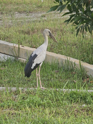


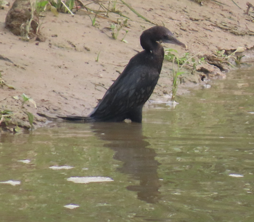
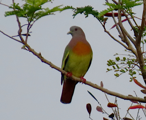
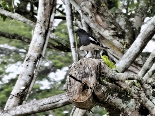
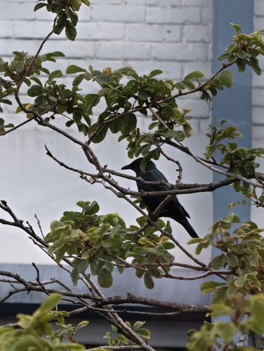
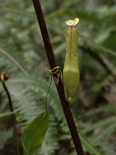

Research-grade observations from iNaturalist (within ~15 mi).
Events
Gallery
Sources
- • Wikipedia
- • Wikidata
- • iNaturalist
- • Open-Meteo / sunrise-sunset.org
- • Wikipedia Pageviews API
- • Open Library