Browse / Malaysia / Perak / Kampar
Kampar
Peraktown

Kampar
Total population
98,878
Demographic figures from Department of Statistics Malaysia. Overview below cites Wikipedia and may reference a different year.
City facts
Overview
Kampar is a town located in the state of Perak, Malaysia, and serves as the administrative centre of Kampar District in Perak. Founded in 1887, the town lies within the Kinta Valley, an area rich in tin reserves. It was a tin mining town which boomed during the height of the tin mining industry. Many tin towns were established in the late 19th century, flourished in the 1900s, only to stagnate and decline after World War I, with the exception of an exhilarating boom in the 1920s. Most have closed down following the collapse of the industry, especially in the late 20th century.
Read more on WikipediaHistory & geography
History
Based on Datuk Hashim Bin Sam Abdul Latiff's article, early settlements in Kampar relate to the historic event of the murder of the British Resident in Perak, J.W.W Birch, as Ngah Jabor who was one of the early settlers in Kampar was amongst those connected to murder, together with the others who include Maharaja Lela, Datuk Sagor, Si Putum and others. However, Ngah Jabor escaped sentence when Raja Idris Shah, who later became Sultan of Perak in 1887 presided over the case involving those accused of Birch's murder in 1876. Raja Idris Shah and Ngah Jabor have family ties and share milk mothers since as an infant, Raja Idris Shah was taken care of by Ngah Jabor's mother, which is common amongst royal families to send their children to other families, particularly amongst the aristocrats, to feed. There is a possibility that between the years 1876 to 1886, Ngah Jabor went into hiding to equip him with spiritual skills and reappeared in public with a new identity as Mohamad Jabor. It is possible that during his hiding, he had opened a new settlement in Kampar to elude the British. Kampar had its share of war during the Japanese Occupation between 1941 and 1945. From 30 December 1941 to 2 January 1942 the Battle of Kampar occurred. An estimated 3000 British soldiers defended the Kampar area against over 6000 Japanese soldiers. The British Army inflicted serious casualties on the Japanese and only retreated when their flank and rear was threatened by Japanese seaborne landings on the coast south of their position. This battle was documented by the famous Kampar historian, Chye Kooi Loong. (See link below) One plausible theory is that Kampar is named after the Kampar River (north of the current township). The river itself got its name from ethnic Malay immigrants from the…
Geography
Kampar is situated in the Kinta Valley, which was well known for its high tin ore reserves. Its vast surroundings as well as abandoned mining-ponds are suitable for fishing, which has become a major attraction for anglers around the country, especially from Kuala Lumpur. Kampar town can be broadly divided between the 'old town' and 'new town' areas. The old town consists of two main streets, Jalan Gopeng and Jalan Idris, of charming pre-war shop houses. The fronts of these shop houses still mostly resemble their original appearance. Commerce in the old town area mainly consists of coffee shops, goldsmiths and local retailers. The new town area mainly consists of new residential developments and some commerce servicing the burgeoning education industry in Kampar. On 21 May 2009, the Sultan of Perak, Sultan Azlan Shah, declared Kampar as the state's 10th district. However, according to the residents, there is no new or old town. The 'new town' is just a residential estate with a few rows of shop-lots to cater for the growing number of university students. The term 'new town' originates from the Cantonese spoken dialect which refers to Taman Bandar Baru as new town. Whereas 'Taman' in Malaysia refers to a residential estate.
Excerpted from the corresponding Wikipedia article (CC BY-SA).
Geography
Coordinates & boundaries from the US Census TIGER/Line shapefiles.
Climate
Air quality
Walkability
Amenities nearby
Wildlife & biodiversity
Earthquake history
Events from the USGS Earthquake Catalog (global) (FDSN Event Web Service).
Photos
Sights & places nearby
Notable people from here
Nearby places in Perak
Geography & sun
Nearby airports
Public attention
Books about this place
Recent natural events nearby
Ground air-quality sensors
Recently spotted species
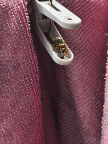
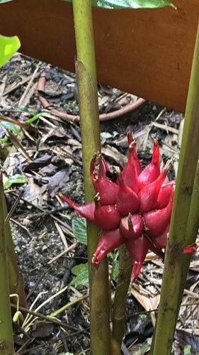
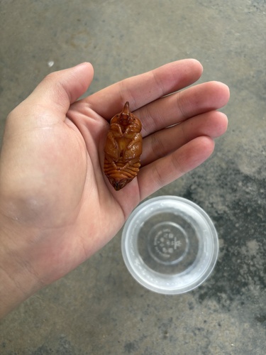
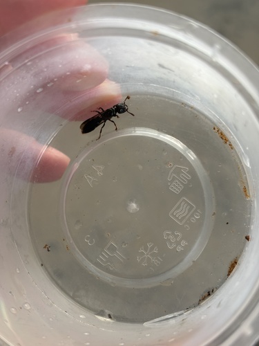
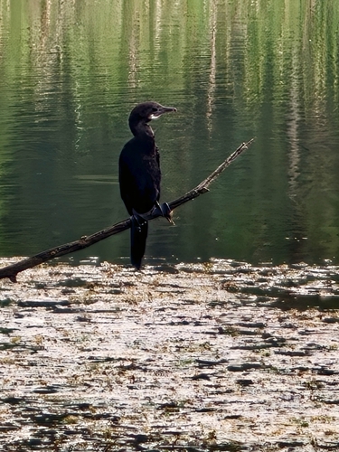
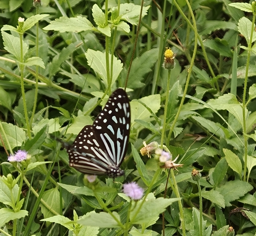
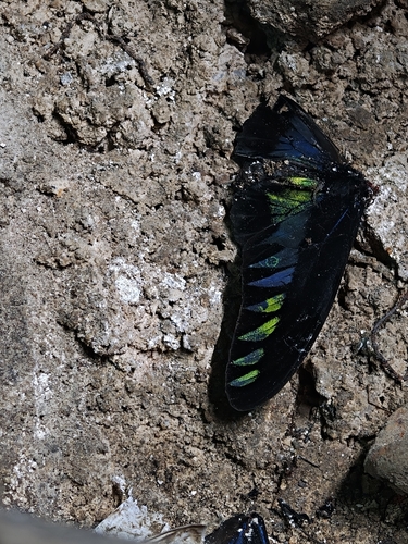
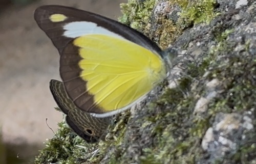
Research-grade observations from iNaturalist (within ~15 mi).
Events
Gallery
Sources
- • Wikipedia
- • USGS Earthquake Catalog (global feed)
- • iNaturalist