Browse / Malaysia / Terengganu / Kampung Ibok
Kampung Ibok
Terengganuvillage
Demographic figures from Department of Statistics Malaysia. Overview below cites Wikipedia and may reference a different year.
City facts
Overview
As a village in Terengganu, Malaysia, Kampung Ibok occupies its own corner of the country. No reliable population estimate is published for this entry in the open data we rely on. Coordinates of 4.320°, 103.367° situate Kampung Ibok in the equatorial zone of the northern hemisphere. Its latitude implies a climate characterised by hot and humid year-round with little seasonal temperature variation. Continue scrolling for population, climate, environmental and points-of-interest data drawn from public sources.
Summary composed automatically from structured open data on this page. See our Terms for details.
History & geography
Geography
Coordinates & boundaries from the US Census TIGER/Line shapefiles.
Climate
Air quality
Walkability
Amenities nearby
Wildlife & biodiversity
Most-observed species
- Collared KingfisherTodiramphus chloris (Boddaert, 1783) · Aves4
- Olive-winged BulbulPycnonotus plumosus Blyth, 1845 · Aves4
- Yellow-vented BulbulPycnonotus goiavier (Scopoli, 1786) · Aves4
- PawpawCarica papaya L. · Magnoliopsida4
- Malabar MelastomeMelastoma malabathricum L. · Magnoliopsida4
- Malaysian Moon MothActias maenas Doubleday, 1847 · Insecta4
- Rangoon creeperCombretum indicum (L.) De Filipps · Magnoliopsida3
- green turtleChelonia mydas (Linnaeus, 1758) · Testudines3
Citizen-science & research observations from the Global Biodiversity Information Facility (GBIF).
Earthquake history
Events from the USGS Earthquake Catalog (global) (FDSN Event Web Service).
Photos
Sights & places nearby
Notable people from here


People born within ~10 km, from Wikidata (CC0). Click any name for their Wikipedia article.
Nearby places in Terengganu
- Kampung Yak Yah0.7 mi away
- Pasir Belaram4.5 mi away
- Kampung Bukit Teruna5.1 mi away
- Air Jernih6.5 mi away
- Kemaman7.1 mi away · pop. 327,547
- Kampung Pasir Gajah7.1 mi away
- Taman Mawardah Housing7.3 mi away
- Taman D'Mawardah7.5 mi away
- Kampung Kuala Kemaman8.1 mi away
- Kampung Dadong10.1 mi away
- Taman Selasih 111.9 mi away
- Kampung Pengkalan Ranggon16 mi away
Geography & sun
Nearby airports
Public attention
Books about this place
Recent natural events nearby
Ground air-quality sensors
Recently spotted species
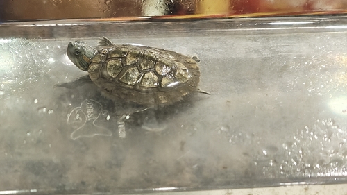
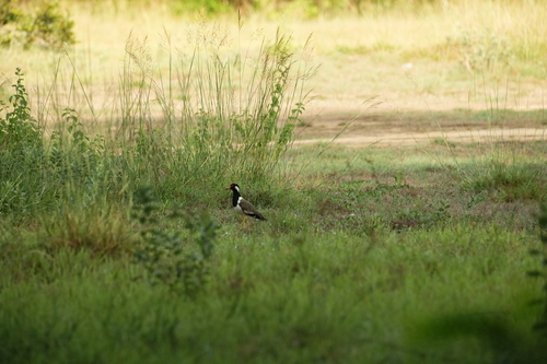
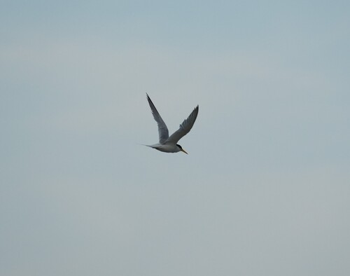
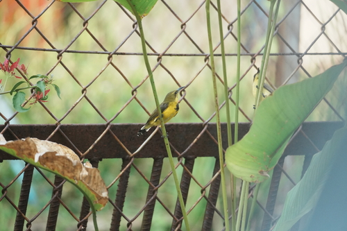
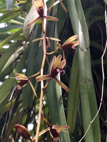
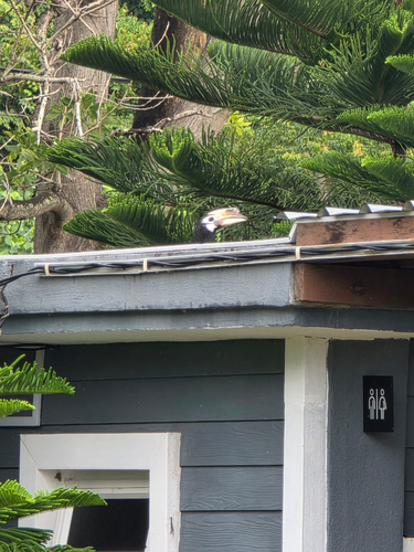
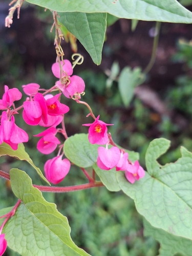
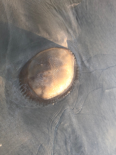
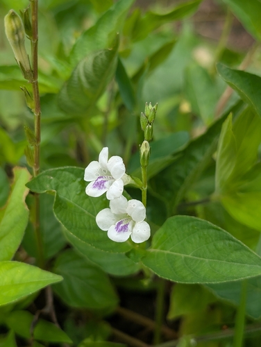
Research-grade observations from iNaturalist (within ~15 mi).
Events
Gallery
Sources
- • Wikidata
- • USGS Earthquake Catalog (global feed)
- • GBIF (Global Biodiversity Information Facility)
- • iNaturalist