Browse / Malaysia / Selangor / Subang Jaya
Subang Jaya
Selangorcity

Subang Jaya
Total population
902,086
Founded
1976
Demographic figures from Department of Statistics Malaysia. Overview below cites Wikipedia and may reference a different year.
City facts
Facts from Wikidata (CC0).
Overview
Subang Jaya is a city in Petaling District, Selangor, Malaysia. It comprises the southern third district of Petaling. It consists of the neighbourhoods from SS12 to SS19, UEP Subang Jaya (USJ), Putra Heights, Batu Tiga as well as PJS7, PJS9 and PJS11 of Bandar Sunway, the latter of which are partially jurisdictional within Petaling Jaya under the MBPJ. The city is governed by Subang Jaya City Council (MBSJ), which also governs other areas of the Petaling district, such as Puchong and Seri Kembangan. According to Subang Jaya City Council, Subang Jaya has a population of 968,930 in 2020, which makes it the sixth largest city in Malaysia by population.
Read more on WikipediaHistory & geography
History
The site was formerly a rubber plantation called Seafield Estate. Originally part of Klang District, it would later be handed over by the municipality of Petaling Jaya. Developed by Sime UEP Properties Berhad, the property development arm of the Malaysian conglomerate Sime Darby, with 342 units of terrace and shophouses. Sime UEP completed all residential developments in the township in June 1988 and commercial development continued after that. The municipal comprise the areas administered by the former Petaling District Council, as well as some areas transferred from Petaling Jaya, Puchong and Shah Alam. This means that the MPSJ municipality holds local government authority not only in the Subang Jaya city centre, but also USJ, Putra Heights, Batu Tiga, Bandar Sunway, Puchong, Bandar Kinrara, Seri Kembangan, and Balakong. In parliamentary terms, Subang Jaya's municipal area covers the parliamentary constituency of Puchong and Subang in its entirety, as well as parts of Kota Raja which mainly cover Putra Heights. On the west side of Subang Jaya, Batu Tiga covers areas like Subang Hi-Tech Industrial Park, Taman Mutiara Subang, Taman Subang Mas and Tropicana Metropark. Subang Jaya city itself lies within the Subang constituency, while Seri Kembangan and Puchong fall within the Puchong constituency. In December 2019, it was officially announced that Subang Jaya's municipality will be upgraded to a city council after a long 5-year wait since MPSJ's application in 2014.
Excerpted from the corresponding Wikipedia article (CC BY-SA).
Geography
Coordinates & boundaries from the US Census TIGER/Line shapefiles.
Climate
Air quality
Walkability
Amenities nearby
Wildlife & biodiversity
Earthquake history
Photos
Sights & places nearby
Notable people from here


People born within ~10 km, from Wikidata (CC0). Click any name for their Wikipedia article.
Nearby places in Selangor
- Petaling Jaya5.4 mi away · pop. 771,687
- Kampung Pulau Meranti6.9 mi away
- Sungai Buloh11.2 mi away
- Kampung Seri Cheeding11.6 mi away
- Port Klang13.2 mi away
- Jenjarom13.4 mi away
- Bandar Baru Bangi13.7 mi away
- Kampung Nelayan Telok Gong14.5 mi away
- Batu Caves14.6 mi away
- Ulu Kuang14.7 mi away
- Kampung Olak Lempit15 mi away
- Gombak15.5 mi away
Geography & sun
Elevation, sunrise/sunset and daylight from Open-Meteo. Solar climatology from NASA POWER.
Nearby airports
Public attention
Pageview totals from the Wikimedia Pageviews API.
Books about Subang Jaya
Search results from Open Library.
Recent natural events nearby
Ground air-quality sensors
Recently spotted species
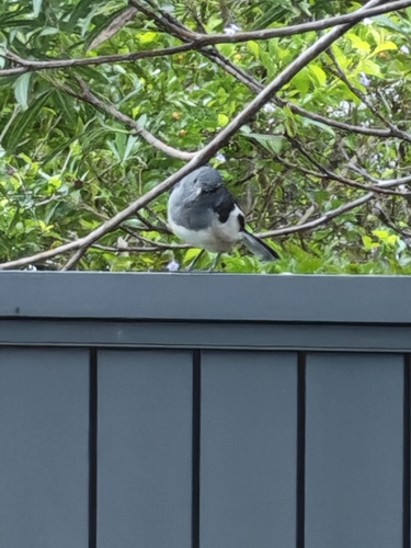

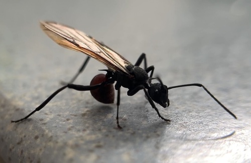
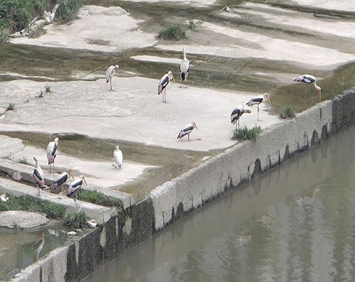
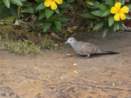
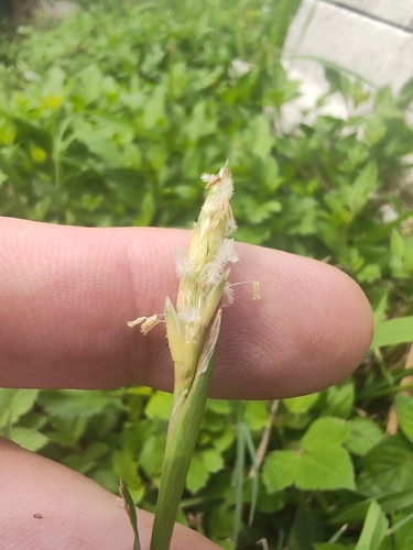
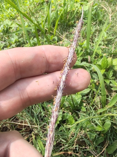
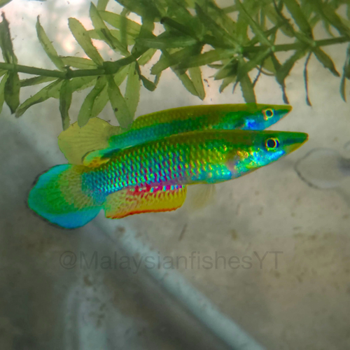
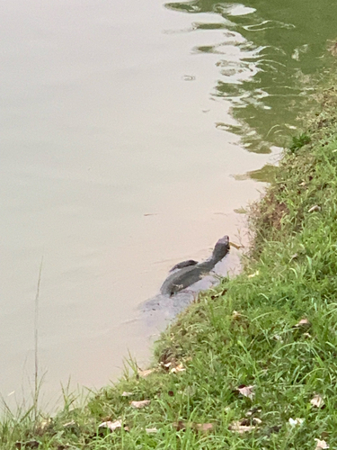
Research-grade observations from iNaturalist (within ~15 mi).
Events
Gallery
Sources
- • Wikipedia
- • Wikidata
- • iNaturalist
- • Open-Meteo / sunrise-sunset.org
- • Wikipedia Pageviews API
- • Open Library