Browse / Malaysia / Selangor / Sungai Buloh
Sungai Buloh
Selangortown

Sungai Buloh
Founded
1930
Demographic figures from Department of Statistics Malaysia. Overview below cites Wikipedia and may reference a different year.
City facts
Facts from Wikidata (CC0).
Overview
Sungai Buloh, or Sungei Buloh, is a town, a mukim (commune) and a parliamentary constituency in the northern part of Petaling District, Selangor, Malaysia. The name itself means bamboo river in the Malay language. It is located 16 km NW of downtown Kuala Lumpur and 8 km north of the Subang Airport, along the Kuala Selangor highway.
Read more on WikipediaHistory & geography
History
No clear historical records regarding Sungai Buloh's founding and settlement were available, though railway services had reached Sungai Buloh by the 1890s. Many believe that Sungai Buloh got its name from Sungai Buloh river that flows from the Straits of Malacca through Kuala Selangor District. A town in Jeram in Kuala Selangor where the estuary of Sungai Buloh begins was also named after the river. In 1930, in an isolated valley of Bukit Lagong, Sungai Buloh, a group of Malays, Chinese, Indians, Eurasians and Turks set up a contained community in the wake of the 1926 Leper Enactment Act, which required the segregation and treatment of those with the disease. Sungai Buloh was at one point, the second biggest leprosy settlement in the world. It was equipped with advanced facilities and remained a research centre for leprosy until today. Sungei Buloh was a pioneer project based on the "enlightened policy" of segregating leprosy patients in a self-supporting community following the principles of a garden city. In 1935 and 1936, scrip (voucher) was issued specifically for the settlement. Sungai Buloh was the site of the Bright Sparklers Firework factory explosion in May 1991 and the subsequent fire. The newer Bandar Baru Sungai Buloh was built on portions of the Sungai Buloh reserve forest with the land space of 1,588 hectares at a cost of RM 1 billion. It was launched in July 1993. Sungai Buloh was also the site of the 2023 Elmina plane crash. A Learjet private plane crashed onto a major feeder road leading into the housing project just before landing at Subang Airport nearby; 10 people were killed, including 8 people on the aircraft and 2 on the ground. One of the fatalities is Pahang assemblyman Datuk Seri Johari Harun from Pelangai, Bentong.
Geography
Sungai Buloh is located at the northern quarter of the Petaling District, bordering Damansara, Subang, Kuang and Kepong (across the Selangor-Federal Territory border). Neighbourhoods and [https://www.edgeprop.my/buy/selangor/sungai-buloh/all-residential?searchedLabel=Sungai%20Buloh&page=1 residential areas] of Sungai Buloh include: * Bukit Rahman Putra * Damansara Damai * Bandar Sri Damansara * Bandar Baru Sungai Buloh * Paya Jaras * Desa Aman * Kwasa Damansara * Taman Villa Putra * Sierramas * Valencia * Aman Putri Most of these neighbourhoods are guarded and gated to provide the safest hospitality for the residents. Though often included as part of Sungai Buloh, the wards of Matang Pagar, Bandar Saujana Utama and Bandar Seri Coalfields, are actually part of the neighbouring towns of Kuang and Kuala Selangor respectively. The nearby township of Kota Damansara, though rarely included as part of Sungai Buloh, falls under the same parliamentary constituency as Sungai Buloh itself.
Excerpted from the corresponding Wikipedia article (CC BY-SA).
Geography
Coordinates & boundaries from the US Census TIGER/Line shapefiles.
Climate
Air quality
Walkability
Amenities nearby
Wildlife & biodiversity
Earthquake history
Photos
Sights & places nearby
Notable people from here


People born within ~10 km, from Wikidata (CC0). Click any name for their Wikipedia article.
Nearby places in Selangor
- Kuang3.1 mi away
- Ulu Kuang4.3 mi away
- Kampung Melayu Batu 167.3 mi away
- Rawang7.8 mi away · pop. 50,000
- Batu Arang9.2 mi away
- Batu Caves9.4 mi away
- Kampung Tanjung9.6 mi away
- Petaling Jaya10.1 mi away · pop. 771,687
- Subang Jaya11.2 mi away · pop. 902,086
- Serendah11.3 mi away
- Gombak11.5 mi away
- Kampung Harmoni11.5 mi away
Geography & sun
Elevation, sunrise/sunset and daylight from Open-Meteo. Solar climatology from NASA POWER.
Nearby airports
Public attention
Pageview totals from the Wikimedia Pageviews API.
Books about Sungai Buloh
Search results from Open Library.
Recent natural events nearby
Ground air-quality sensors
Recently spotted species
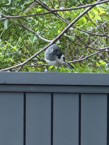

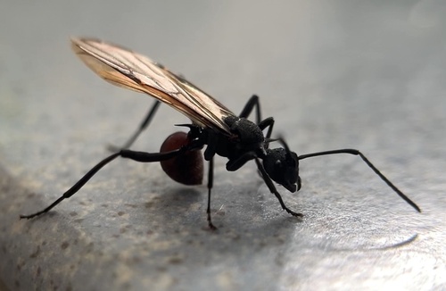
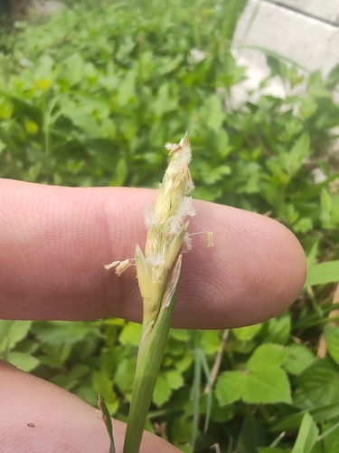
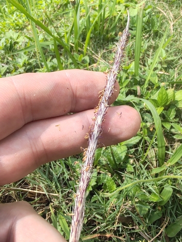

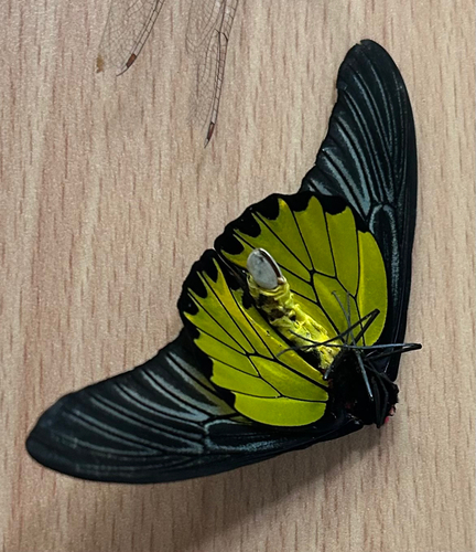
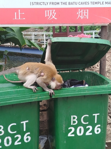

Research-grade observations from iNaturalist (within ~15 mi).
Events
Gallery
Sources
- • Wikipedia
- • Wikidata
- • iNaturalist
- • Open-Meteo / sunrise-sunset.org
- • Wikipedia Pageviews API
- • Open Library