Browse / Malaysia / Perak / Taiping
Taiping
Perakcity

Taiping
Total population
241,517
Founded
1874
Demographic figures from Department of Statistics Malaysia. Overview below cites Wikipedia and may reference a different year.
City facts
Facts from Wikidata (CC0).
Overview
Taiping is a city located in Larut, Matang and Selama District, in the state of Perak, Malaysia. It is located approximately 48 km (30 mi) northwest of Ipoh, the capital of Perak, and 78 km (48 mi) southeast of George Town, Penang. With a population of 245,182, it is the second largest city in Perak after Ipoh, the state capital.
Read more on WikipediaHistory & geography
History
The area developed quickly in the 19th century when tin was discovered by Long Jaafar. The mines attracted large numbers of settlers, particularly Chinese. Feuds began between the different groups of Chinese immigrants and became so bitter that in the early 1870s, the British intervened and assumed control of the town. Taiping was the capital for the districts of Larut, Matang and Selama in Perak. Before 1937, Taiping was the capital of the state of Perak and the centre of a long and drawn out war resulting in a change of rulership for the state. Taiping used to be known as Klian Pauh – Klian meaning mine while Pauh is a type of small mango. Long Jaafar has been historically credited with the discovery of tin in Larut in 1848. According to legend, Long Jaafar had an elephant named Larut and he used to take this elephant with him when journeying between Bukit Gantang and Lubok Merbau. One day the elephant went missing and when the elephant was eventually found three days later Long Jaafar noticed tin ore embedded in the mud that was on the elephant's legs. It is said that this was how Larut got its name. Eventually in 1850, Larut district was bestowed upon Long Jaafar by Raja Muda Ngah Ali and the Chiefs of Perak: the Temenggong, Panglima Bukit Gantang, Panglima Kinta, Syahbandar and Seri Adika Raja. Some time later, the Sultan of Perak, Sultan Abdullah, died in 1857 and a series of succession disputes ensued. Unhappy with the abuse and favouritism of various royalties, rival Malay camps took sides with one or the other of the two great Chinese secret societies present in there at the time. Long Jaafar established and developed his administrative centre at Bukit Gantang and made Kuala Sungai Limau at Trong the principal harbour of the Larut Settlement. In 1857 Long…
Geography
Taiping lies 23m above sea level situated on a plain to the west of the Bintang Mountains. Perak's capital city, Ipoh, is approximately southeast of the town, while George Town, the capital city of the neighbouring state of Penang, lies away to the northwest. Taiping also receives some limelight for being the wettest town in Peninsular Malaysia even on the driest month. In June, the town still receives of rainfall. The average annual rainfall is about in Taiping while the peninsula's average is –. Its unusual rainfall has also led to a fertile collection of flora and century-old rain trees in the Taiping Lake Gardens. The Taiping Municipal Council is the municipal council which administers the township. This council was established after the township in 1930. Their jurisdiction covers an area of 186.46 square kilometres. Due to electoral division by Election Commission of Malaysia, there are two parliamentary and six state constituencies (DUN) dividing the township. There are Taiping parliamentary seat, Aulong, Pokok Assam and Kamunting state seat meanwhile for Bukit Gantang parliamentary seat, Terong, Kuala Sepetang and Changkat Jering state seat.
Excerpted from the corresponding Wikipedia article (CC BY-SA).
Geography
Coordinates & boundaries from the US Census TIGER/Line shapefiles.
Climate
Air quality
Walkability
Amenities nearby
Wildlife & biodiversity
Earthquake history
Photos
Sights & places nearby
Notable people from here


People born within ~10 km, from Wikidata (CC0). Click any name for their Wikipedia article.
Nearby places in Perak
Geography & sun
Elevation, sunrise/sunset and daylight from Open-Meteo. Solar climatology from NASA POWER.
Nearby airports
Public attention
Pageview totals from the Wikimedia Pageviews API.
Books about Taiping
Search results from Open Library.
Recent natural events nearby
Ground air-quality sensors
Recently spotted species
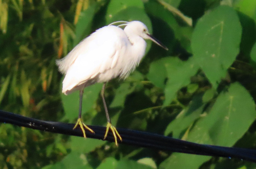
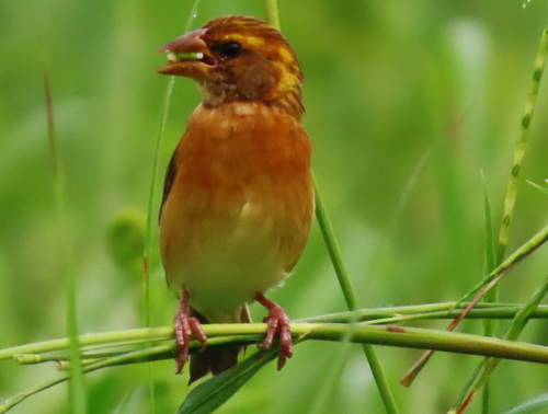
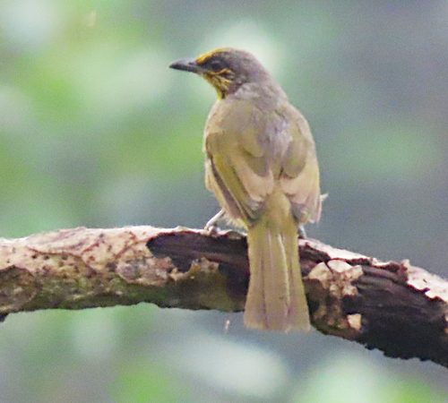
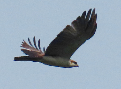
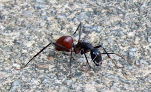
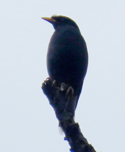
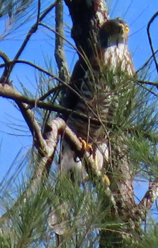
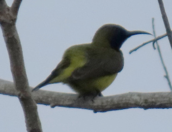
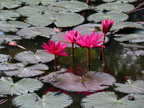
Research-grade observations from iNaturalist (within ~15 mi).
Events
Gallery
Sources
- • Wikipedia
- • Wikidata
- • iNaturalist
- • Open-Meteo / sunrise-sunset.org
- • Wikipedia Pageviews API
- • Open Library