Browse / Namibia / Omaheke / Gobabis
Gobabis
Omahekecity

Gobabis
Total population
19,101
Founded
1856
Demographic figures from Namibia Statistics Agency. Overview below cites Wikipedia and may reference a different year.
City facts
Sister cities
Facts from Wikidata (CC0).
Overview
Gobabis is a town in eastern Namibia. It is the regional capital of the Omaheke Region, and the district capital of the Gobabis electoral constituency. Gobabis is in the heart of the cattle farming area. It had a population of 33,418 people in 2023.
Read more on WikipediaHistory & geography
History
The area around Gobabis and along the Nossob River had a strong population of elephants. The settlement itself was a base camp for ivory hunters and a trading post for elephant tusks. In 1856 a mission station was established by one Friederich Eggert of the Rhenish Missionary Society. In the latter half of the 19th century and the early 20th century several conflicts flared up between the Ovambanderu and the Khauas Khoikhoi, as well as between the settlers and the indigenous people. Gobabis is in an area where the Herero and the Nama people fought wars against one another, as well as with settlers from the Cape colony that occupied the land. According to oral tradition, the earliest name for the settlement in this area was the Khoekhoegowab word ǂKhoandabes, the place where the elephant came to lick. The reason for this name is speculated to be that elephant tusks that would crack in the dry and hot climate of the Omaheke were at times stored right in the settlement's well. Later the settlement was referred to as "Gobabis" by the Whites, this expression was likely derived from goba (argue, quarrel) and bis (place): The place where people quarreled. A common earlier interpretation of the name, ǂkhoa (Elephant) -bes (place), Elephant fountain, was introduced by Heinrich Vedder and gained wide acceptance. Vedder also opined that it was Amraal Lambert, Captain of the Kaiǀkhauan (Khauas Nama) who called the place Gobabis because he could not pronounce ǂKoabes. Apart from linguistic problems, this interpretation was contradicted by an 1845 letter by Reverend Joseph Tindall, a Wesleyan missionary, which states: "Reached Gobabis which I named 'Elephant's fountain'" - a place name like "Place of Altercation" would not bode too well for the missionary station he intended to…
Geography
Gobabis is situated down the B6 motorway from Windhoek to Botswana. The town is from the Buitepos border post with Botswana, and serves as an important link to South Africa on the tarred Trans-Kalahari Highway. Gobabis also has its own local airport. Gobabis has a semi-arid climate (BSh, according to the Köppen climate classification), with hot summers and cool winters (with mild days and chilly nights). The average annual precipitation is .
Excerpted from the corresponding Wikipedia article (CC BY-SA).
Geography
Coordinates & boundaries from the US Census TIGER/Line shapefiles.
Climate
Air quality
Walkability
Amenities nearby
Wildlife & biodiversity
Earthquake history
Photos
Sights & places nearby
Notable people from here


People born within ~10 km, from Wikidata (CC0). Click any name for their Wikipedia article.
Nearby places in Omaheke
Geography & sun
Elevation, sunrise/sunset and daylight from Open-Meteo. Solar climatology from NASA POWER.
Nearby airports
Public attention
Pageview totals from the Wikimedia Pageviews API.
Books about Gobabis
Search results from Open Library.
Recent natural events nearby
Ground air-quality sensors
Recently spotted species
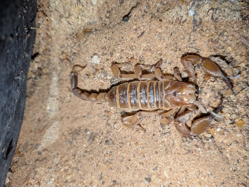
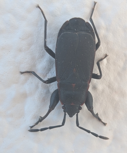
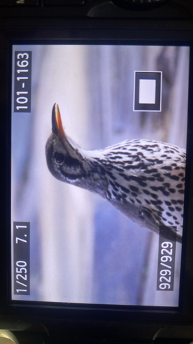
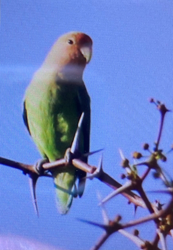
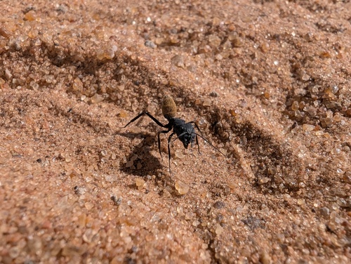
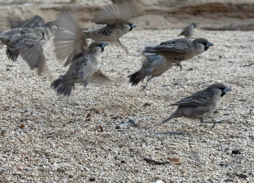
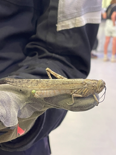
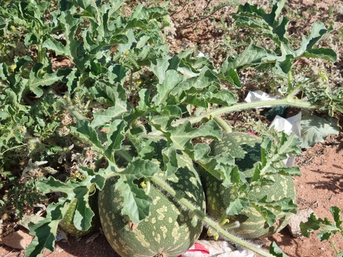
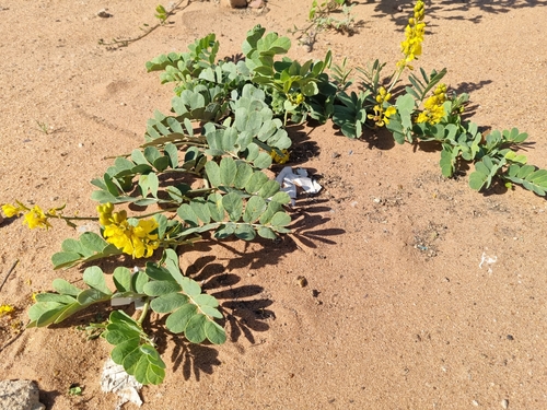
Research-grade observations from iNaturalist (within ~15 mi).
Events
Gallery
Sources
- • Wikipedia
- • Wikidata
- • iNaturalist
- • Open-Meteo / sunrise-sunset.org
- • Wikipedia Pageviews API
- • Open Library