Browse / United States / Ohio / Bridgeport
Bridgeport
Ohiovillage

Bridgeport
Total population
1,453
Median home value
$94,200
Bachelor's+
Median income
$54,125
Demographic figures from US Census Bureau · ACS 5-year estimates. Overview below cites Wikipedia and may reference a different year.
City facts
Facts from Wikidata (CC0).
Overview
Bridgeport is a village in eastern Belmont County, Ohio, United States. It lies across the Ohio River from Wheeling, West Virginia, at the mouth of Wheeling Creek and is connected by two bridges to Wheeling Island. The population was 1,582 at the 2020 census. It is part of the Wheeling metropolitan area.
Read more on WikipediaHistory & geography
History
Bridgeport was originally known as Canton, and under the latter name was laid out in 1806 by Colonel Ebenezer Zane. The present name is for a bridge constructed near the town site in the 1810s.
Geography
Bridgeport is located along the Ohio River at the mouth of Wheeling Creek. There are two crossings into West Virginia, the Military Order of the Purple Heart Bridge and a portion of the Fort Henry Bridge. Formerly, the Aetnaville Bridge and Bridgeport Bridge made the crossing to Wheeling Island, but the former has been closed to traffic and the latter has been demolished. According to the United States Census Bureau, the village has a total area of , of which is land and is water.
Excerpted from the corresponding Wikipedia article (CC BY-SA).
Demographics & economy
Race & ethnicity
Source: US Census Bureau — American Community Survey, 5-year estimates.
Geography
Coordinates & boundaries from the US Census TIGER/Line shapefiles.
Climate
Current forecast
Forecast for Bridgeport, OH from NOAA NWS API.
Air quality
Industrial & pollution facilities
Natural hazard risk
Health (adults)
Age-adjusted prevalence estimates from CDC PLACES (latest release).
Walkability
Amenities nearby
Wildlife & biodiversity
Most-observed species
- American CrowCorvus brachyrhynchos C.L.Brehm, 1822 · Aves1,830
- Northern CardinalCardinalis cardinalis (Linnaeus, 1758) · Aves1,825
- American RobinTurdus migratorius Linnaeus, 1766 · Aves1,782
- Song SparrowMelospiza melodia (A.Wilson, 1810) · Aves1,617
- Blue JayCyanocitta cristata (Linnaeus, 1758) · Aves1,611
- European StarlingSturnus vulgaris Linnaeus, 1758 · Aves1,424
- Tufted TitmouseBaeolophus bicolor (Linnaeus, 1766) · Aves1,280
- Mourning DoveZenaida macroura (Linnaeus, 1758) · Aves1,277
Citizen-science & research observations from the Global Biodiversity Information Facility (GBIF).
Schools
Earthquake history
Most recent
- M 2.9 — 2025-05-093 km S of Pleasant City, Ohio
- M 2.8 — 2025-04-291 km SE of Pleasant City, Ohio
- M 3.1 — 2025-04-243 km S of Pleasant City, Ohio
- M 3.1 — 2025-04-223 km ESE of Buffalo, Ohio
- M 2.8 — 2025-02-030 km NE of Reno, Ohio
- M 2.5 — 2024-09-114 km WNW of Claysville, Pennsylvania
Events from the USGS Earthquake Catalog (global) (FDSN Event Web Service).
Photos
Sights & places nearby
Notable people from here
Nearby places in Ohio
- Brookside0.8 mi away · pop. 610
- Martins Ferry2.9 mi away
- Neffs3.9 mi away
- Harrisville10.9 mi away · pop. 185
- Powhatan Point14.3 mi away
- New Athens15.4 mi away
- New Alexandria16.2 mi away
- Morristown17 mi away
- Bethesda17.4 mi away · pop. 1,239
- Clarington20.5 mi away · pop. 330
- Jerusalem23.5 mi away
- Miltonsburg27.3 mi away
Geography & sun
Elevation, sunrise/sunset and daylight from Open-Meteo. Solar climatology from NASA POWER.
Nearby airports
Public attention
Pageview totals from the Wikimedia Pageviews API.
Books about Bridgeport


Search results from Open Library.
Recent natural events nearby
Ground air-quality sensors
Recently spotted species


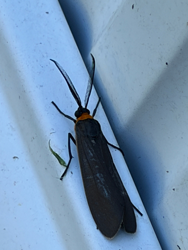




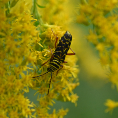
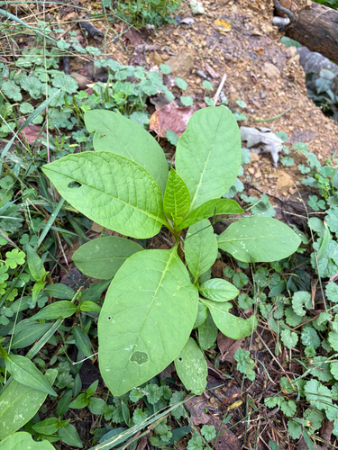
Research-grade observations from iNaturalist (within ~15 mi).
Nearest stream gauge
Events
Gallery
Sources
- • Wikipedia
- • US Census Bureau (ACS 5-year estimates)
- • NOAA National Weather Service
- • Wikidata
- • USGS Earthquake Catalog (global feed)
- • GBIF (Global Biodiversity Information Facility)
- • iNaturalist
- • CDC PLACES
- • Open-Meteo / sunrise-sunset.org
- • Wikipedia Pageviews API
- • Open Library