Browse / United States / Ohio / Bethesda
Bethesda
Ohiovillage

Bethesda
Total population
1,239
Median home value
$109,000
Bachelor's+
Median income
$35,900
Founded
1910
Demographic figures from US Census Bureau · ACS 5-year estimates. Overview below cites Wikipedia and may reference a different year.
City facts
Facts from Wikidata (CC0).
Overview
Bethesda is a village in west-central Belmont County, Ohio, United States. The population was 1,211 at the 2020 census. It is part of the Wheeling metropolitan area.
Read more on WikipediaHistory & geography
History
Bethesda has had three names: Burrs Mills, Fairmount, and Bethesda. When the railroad reached the village in 1852, the Central Ohio Railroad built a station and named it Burr's Mills in honor of Merrick S. Burr, who operated a sawmill in the area. In 1855, Burr laid out a village which he called Fairmount because of its high and beautiful location. Prior to that time, there was a store, the Bethesda Methodist Church, and a post office, all located about 2 miles south of the current town on what now CR 26, and the post office was named after the church. The store proprietor was the postmaster and when he moved his store to the town, the post office also was relocated but retained its name. As a result, the town was called Fairmount while the railroad station was Burr's Mills and the post office was Bethesda. In the late 1800s, the name of Bethesda was finally chosen for the town. Bethesda was incorporated as a village in 1910. In 1920, the town contracted with the E. Howard Watch & Clock Company to supply a town clock, which was erected atop the Orrison Cigar Co. building on Main Street and is dedicated to Bethesda's World War I veterans. In 2010, the clock was removed from service and placed in storage. Businessman Robert E. Murray, spearheaded the restoration of the clock and established the Murray Family Memorial Plaza, which was dedicated in 2017. The facility and the restored clock are dedicated to military veterans from all services.
Geography
According to the United States Census Bureau, the village has a total area of , of which is land and is water.
Excerpted from the corresponding Wikipedia article (CC BY-SA).
Demographics & economy
Race & ethnicity
Source: US Census Bureau — American Community Survey, 5-year estimates.
Geography
Coordinates & boundaries from the US Census TIGER/Line shapefiles.
Climate
Current forecast
Forecast for Bethesda, OH from NOAA NWS API.
Air quality
Industrial & pollution facilities
Natural hazard risk
Health (adults)
Age-adjusted prevalence estimates from CDC PLACES (latest release).
Walkability
Amenities nearby
Wildlife & biodiversity
Most-observed species
- Northern CardinalCardinalis cardinalis (Linnaeus, 1758) · Aves976
- American RobinTurdus migratorius Linnaeus, 1766 · Aves905
- Blue JayCyanocitta cristata (Linnaeus, 1758) · Aves733
- Red-winged BlackbirdAgelaius phoeniceus (Linnaeus, 1766) · Aves731
- American CrowCorvus brachyrhynchos C.L.Brehm, 1822 · Aves689
- Turkey VultureCathartes aura (Linnaeus, 1758) · Aves678
- Red-bellied WoodpeckerMelanerpes carolinus (Linnaeus, 1758) · Aves658
- Mourning DoveZenaida macroura (Linnaeus, 1758) · Aves643
Citizen-science & research observations from the Global Biodiversity Information Facility (GBIF).
Schools
Largest nearby schools
- Union Local Elementary SchoolElementary · Belmont · 635 students · 14.1:1 ratio
- Barnesville Elementary SchoolElementary · Barnesville · 544 students · 20.9:1 ratio
- Barnesville Middle SchoolMiddle · Barnesville · 436 students · 20.8:1 ratio
- Union Local High SchoolHigh · Belmont · 434 students · 14.5:1 ratio
- Barnesville High SchoolHigh · Barnesville · 400 students · 20:1 ratio
- Union Local Middle SchoolMiddle · Belmont · 342 students · 18:1 ratio
- Belmont Career CenterHigh · Saint Clairsville · 285 students · 8.4:1 ratio
Public K–12 schools within ~10 mi from Urban Institute Education Data Portal (NCES Common Core of Data, 2022).
Earthquake history
Most recent
- M 2.9 — 2025-05-093 km S of Pleasant City, Ohio
- M 2.8 — 2025-04-291 km SE of Pleasant City, Ohio
- M 3.1 — 2025-04-243 km S of Pleasant City, Ohio
- M 3.1 — 2025-04-223 km ESE of Buffalo, Ohio
- M 2.8 — 2025-02-030 km NE of Reno, Ohio
- M 2.5 — 2024-09-114 km WNW of Claysville, Pennsylvania
Events from the USGS Earthquake Catalog (global) (FDSN Event Web Service).
Photos
Sights & places nearby
Notable people from here


People born within ~10 km, from Wikidata (CC0). Click any name for their Wikipedia article.
Nearby places in Ohio
- Morristown3.2 mi away
- Jerusalem11.4 mi away
- New Athens12.3 mi away
- Quaker City12.3 mi away
- Miltonsburg13.7 mi away
- Neffs13.7 mi away
- Harrisville15 mi away · pop. 185
- Brookside16.9 mi away · pop. 610
- Freeport17 mi away · pop. 469
- Bridgeport17.4 mi away · pop. 1,453
- Powhatan Point17.5 mi away
- Martins Ferry19.1 mi away
Geography & sun
Elevation, sunrise/sunset and daylight from Open-Meteo. Solar climatology from NASA POWER.
Nearby airports
Public attention
Pageview totals from the Wikimedia Pageviews API.
Books about Bethesda

Search results from Open Library.
Recent natural events nearby
Ground air-quality sensors
Recently spotted species
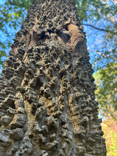
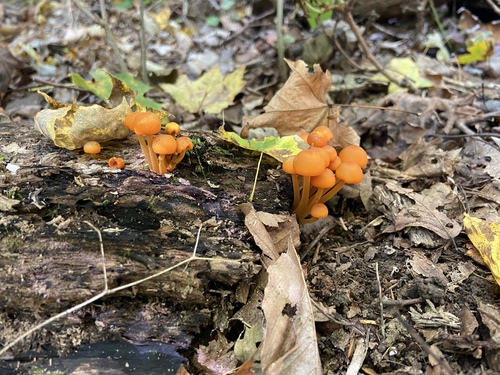
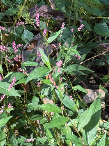

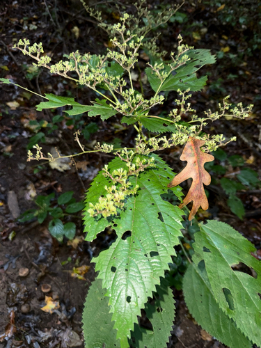
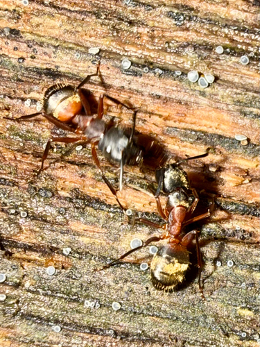

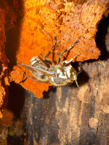
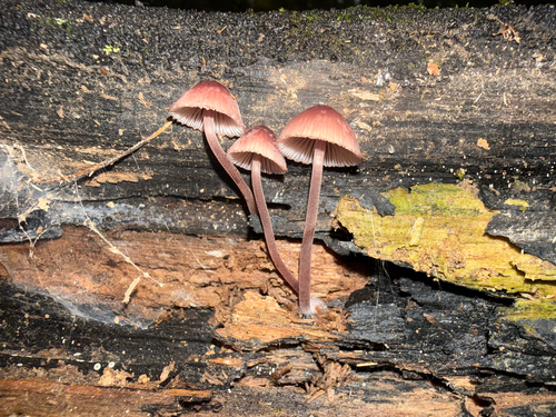
Research-grade observations from iNaturalist (within ~15 mi).
Nearest stream gauge
Events
Gallery
Sources
- • Wikipedia
- • US Census Bureau (ACS 5-year estimates)
- • NOAA National Weather Service
- • Wikidata
- • USGS Earthquake Catalog (global feed)
- • NCES via Urban Institute Education Data Portal
- • GBIF (Global Biodiversity Information Facility)
- • iNaturalist
- • CDC PLACES
- • Open-Meteo / sunrise-sunset.org
- • Wikipedia Pageviews API
- • Open Library