Browse / Namibia / Erongo / Henties Bay
Henties Bay
Erongotown

Henties Bay
Total population
4,720
Demographic figures from Namibia Statistics Agency. Overview below cites Wikipedia and may reference a different year.
City facts
Facts from Wikidata (CC0).
Overview
Henties Bay is a coastal town in the Erongo Region of western Namibia. The town had 7,569 inhabitants in 2023, an increase from 3,285 in 2001.
Read more on WikipediaHistory & geography
History
Bartolomeu Dias sailed along the Atlantic coast in 1488. Near the area of today's Henties Bay he discovered such an abundance of fish that he named this coastline Praia das Sardinhas, Coast of Fish. The fresh water source was first discovered by Schutztruppe soldiers in 1886. In 1920, a minerals prospector stayed overnight. After tasting the water, he was said to be healed from an affliction. The namesake of the town is major Hendrik "Henty" Stefanus van der Merwe who arrived in the area in 1929 while searching for water. He had been hunting a rhinoceros in the arid hinterland of the Namibian coast near the Brandberg in order to collect a reward from a museum in Pennsylvania that was in search of a rhino skeleton. After shooting the rhino and scraping meat from the bones, water resources of the expedition diminished, forcing the party to load the decomposing carcass and search for water. They chose to head into the direction of the Atlantic coast and reached it close to Cape Cross. From there van der Merwe and his fellows searched southwards for the mouth of the Omaruru River. A few miles south of the river mouth they discovered a deep sand valley with reed grass growing in it, advertising the presence of fresh water. Van der Merwe liked the place and after delivering the bones and collecting his reward, returned the following Christmas to build a wooden hut in the riverbed. The place became known as Henty se baai (Henty's Bay) and developed into a holiday hideout, mainly because of the abundance of fish at this spot. Stefanus was one of the first to promote the town as a tourist resort. In 1951 the South–West Africa Administration mandated to South Africa, proclaimed erven in the Omaruru riverbed that were available for rent, but the erection of permanent…
Geography
Henties Bay is located north of Swakopmund.
Excerpted from the corresponding Wikipedia article (CC BY-SA).
Geography
Coordinates & boundaries from the US Census TIGER/Line shapefiles.
Climate
Air quality
Walkability
Amenities nearby
Wildlife & biodiversity
Most-observed species
- Kelp GullLarus dominicanus M.H.K.Lichtenstein, 1823 · Aves94
- Great Cormorant/European ShagPhalacrocorax carbo (Linnaeus, 1758) · Aves77
- Cape CormorantPhalacrocorax capensis (Sparrman, 1788) · Aves58
- Hartlaub's GullChroicocephalus hartlaubii (Bruch, 1855) · Aves48
- Cape WagtailMotacilla capensis Linnaeus, 1766 · Aves36
- Speckled PigeonColumba guinea Linnaeus, 1758 · Aves29
- White-breasted CormorantPhalacrocorax lucidus (Lichtenstein, 1823) · Aves29
- SanderlingCalidris alba (Pallas, 1764) · Aves25
Citizen-science & research observations from the Global Biodiversity Information Facility (GBIF).
Earthquake history
Events from the USGS Earthquake Catalog (global) (FDSN Event Web Service).
Photos
Sights & places nearby
Notable people from here
Nearby places in Erongo
- Swakopmund41.8 mi away · pop. 25,000
- Arandis49 mi away · pop. 5,214
- Walvis Bay59.8 mi away · pop. 62,096
- Spitzkoppe61.9 mi away
- Zebedeus64.3 mi away
- Uiba-Oas69.7 mi away
- Uis72.5 mi away
- Usakos84 mi away
- Okombahe87.9 mi away
- Karibib101.4 mi away · pop. 5,132
- Omatjete107.6 mi away · pop. 12,000
- Omaruru117.5 mi away
Geography & sun
Elevation, sunrise/sunset and daylight from Open-Meteo. Solar climatology from NASA POWER.
Nearby airports
Public attention
Pageview totals from the Wikimedia Pageviews API.
Books about this place
Recent natural events nearby
Ground air-quality sensors
Recently spotted species
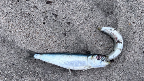
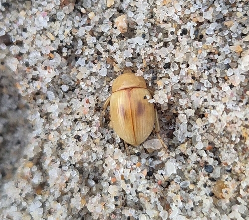
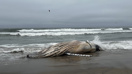
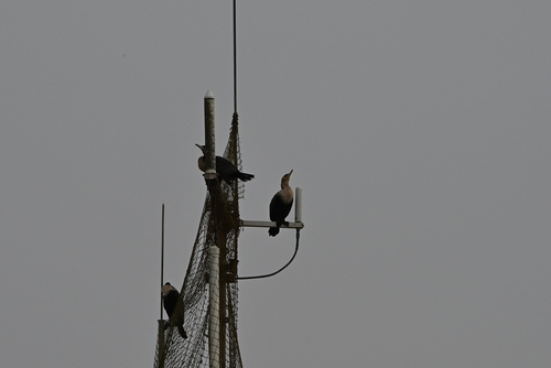
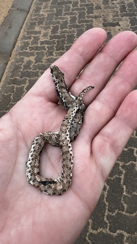
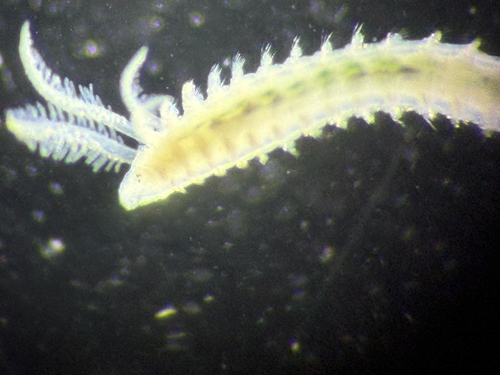
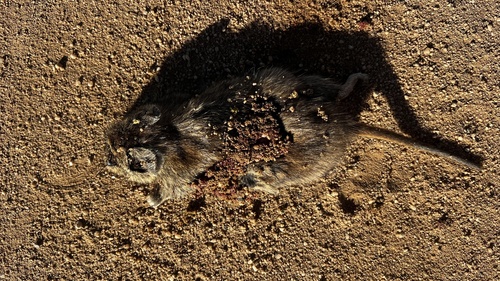
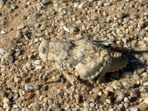
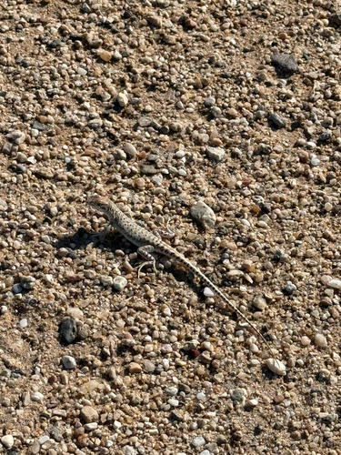
Research-grade observations from iNaturalist (within ~15 mi).
Events
Gallery
Sources
- • Wikipedia
- • Wikidata
- • USGS Earthquake Catalog (global feed)
- • GBIF (Global Biodiversity Information Facility)
- • iNaturalist
- • Open-Meteo / sunrise-sunset.org
- • Wikipedia Pageviews API