Browse / Namibia / Erongo / Karibib
Karibib
Erongotown

Karibib
Total population
5,132
Founded
1900
Demographic figures from Namibia Statistics Agency. Overview below cites Wikipedia and may reference a different year.
City facts
Facts from Wikidata (CC0).
Overview
Karibib is a town in the Erongo Region of western Namibia. It has 8,434 inhabitants. Karibib is the district capital of the Karibib electoral constituency. It is situated on the Khan River, halfway between Windhoek and Swakopmund on the B2, the main road between Walvis Bay and Johannesburg. The town is known for its aragonite marble quarries and the Navachab Gold Mine.
Read more on WikipediaHistory & geography
History
Originally Karibib was a waterhole known to the Herero under the name Otjandjomboimwe. Expecting business opportunities arising from the railway construction between Swakopmund and Windhoek, Eduard Hälbich, merchant at Otjimbingwe, bought the waterhole and 20,000 hectares of land surrounding it from Herero headman Zacharias Zeraua. The deal was finalised on 7 January 1895, the purchase price was 22,500 marks (ℳ), two ox wagons, and 742 pounds 5 shillings that Zeraua had incurred in debts in Hälbich's shop in Otjimbingwe. Karibib began to grow quickly when on 30 May 1900 the railway construction reached the newly founded place. 1 June 1900 marks the day of the official foundation of Karibib at the occasion of the first train arriving from Swakopmund. The railway station was built, a medical practice, storage facilities, a prison, and living quarters were erected, and the population rose to 274. This development disadvantaged the settlement of Otjimbingwe; ox wagons that before would travel via Otjimbingwe on the Alter Baiweg (Old bay path) would now take the route through Karibib.
Geography
Karibib comprises of town land.
Excerpted from the corresponding Wikipedia article (CC BY-SA).
Geography
Coordinates & boundaries from the US Census TIGER/Line shapefiles.
Climate
Air quality
Walkability
Amenities nearby
Wildlife & biodiversity
Most-observed species
- Pale Chanting-GoshawkMelierax canorus (Thunberg, 1799) · Aves82
- White-browed Sparrow-WeaverPlocepasser mahali A.Smith, 1836 · Aves74
- Cape StarlingLamprotornis nitens (Linnaeus, 1766) · Aves47
- Little SwiftApus affinis (J.E.Gray, 1830) · Aves46
- Southern FiscalLanius collaris Linnaeus, 1766 · Aves37
- Namaqua DoveOena capensis (Linnaeus, 1766) · Aves30
- Ring-necked DoveStreptopelia capicola (Sundevall, 1857) · Aves25
- Short-toed Rock-ThrushMonticola brevipes (Waterhouse, 1838) · Aves23
Citizen-science & research observations from the Global Biodiversity Information Facility (GBIF).
Earthquake history
Most recent
- M 3.5 — 2019-03-0224 km ENE of Karibib, Namibia
Events from the USGS Earthquake Catalog (global) (FDSN Event Web Service).
Photos
Sights & places nearby
Notable people from here
Nearby places in Erongo
Geography & sun
Elevation, sunrise/sunset and daylight from Open-Meteo. Solar climatology from NASA POWER.
Nearby airports
Public attention
Pageview totals from the Wikimedia Pageviews API.
Books about this place
Recent natural events nearby
Ground air-quality sensors
Recently spotted species
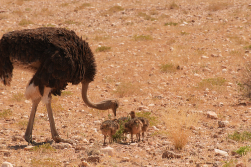
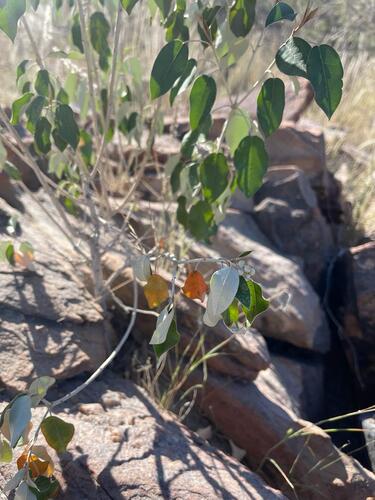
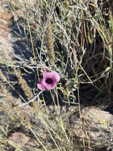
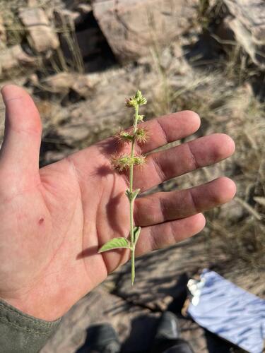
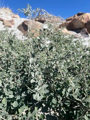
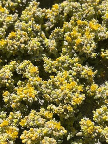
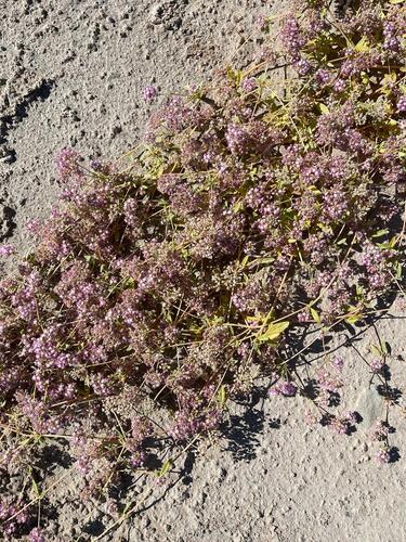
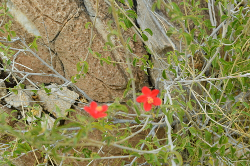
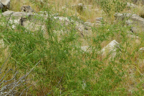
Research-grade observations from iNaturalist (within ~15 mi).
Events
Gallery
Sources
- • Wikipedia
- • Wikidata
- • USGS Earthquake Catalog (global feed)
- • GBIF (Global Biodiversity Information Facility)
- • iNaturalist
- • Open-Meteo / sunrise-sunset.org
- • Wikipedia Pageviews API