Browse / Namibia / Erongo / Otjimbingwe
Otjimbingwe
Erongovillage

Otjimbingwe
Air quality index
Demographic figures from Namibia Statistics Agency. Overview below cites Wikipedia and may reference a different year.
City facts
Facts from Wikidata (CC0).
Overview
Otjimbingwe is a settlement in the Erongo Region of central Namibia. Otjimbingwe has approximately 8,000 inhabitants and belongs to the Karibib electoral constituency.
Read more on WikipediaHistory & geography
History
Otjimbingwe is the Ovaherero name of the Khoekhoegowab word 'Atsas', which means to try to drink. The Damara people were already present in the area before the Herero people migrated to Otjimbingwe (Atsas). The present-day make up of Otjimbingwe shows more Damaras or Khoekhoe speakers than Hereros. The area had already been a settlement of the Damaras before the Herero migration in the early 18th century. The Old Bay Road, built by Jonker Afrikaner in the 1840s, led through Otjimbingwe, making the settlement an economic and cultural hub. The Rhenish Mission Society subsequently used Otjimbingwe as a central location for their Namibian mission in 1849. Johannes Rath and his family settled in the area on 11 July that year. In 1854, copper was found in the nearby Khomas highlands and the Walwich Bay Mining Company established its offices in the city. Miners and merchants flocked to the settlement, and the researcher and businessman Karl Johan Andersson bought the entire settlement in 1860. He sold it five years later to the Rhenish Missionary Society. However the copper supply had been exhausted by that time, and the mining operations ceded. The settlement was attacked and plundered several times in its early history. In 1863 the Battle of Otjimbinge took place, one of the largest battles of the Herero-Nama War. Andersson and the Herero fought the Oorlam people under Christian Afrikaner. Hahn also founded the first school of South West Africa at Otjimbingwe in 1876. However, control gradually shifted to Windhoek, and the civil administration moved there in 1892. The railway line from Windhoek and Swakopmund was completed in the early 1900s, bypassing Otjimbingwe, and the city greatly declined in size thereafter.
Geography
Otjimbingwe is situated south of Karibib on the junction of Omusema and the Swakop River. It had approximately 8,000 inhabitants .
Excerpted from the corresponding Wikipedia article (CC BY-SA).
Geography
Coordinates & boundaries from the US Census TIGER/Line shapefiles.
Climate
Air quality
Current readings from Open-Meteo Air Quality API (Copernicus CAMS European reanalysis).
Walkability
Amenities nearby
Wildlife & biodiversity
Most-observed species
- Mariqua FlycatcherBradornis mariquensis A.Smith, 1847 · Aves5
- Lesser Gray ShrikeLanius minor Gmelin, 1788 · Aves4
- Capped WheatearOenanthe pileata (Gmelin, 1789) · Aves4
- Cape StarlingLamprotornis nitens (Linnaeus, 1766) · Aves3
- White-browed Sparrow-WeaverPlocepasser mahali A.Smith, 1836 · Aves3
- Red-crested KorhaanLophotis ruficrista (A.Smith, 1836) · Aves2
- Southern FiscalLanius collaris Linnaeus, 1766 · Aves2
- Scaly WeaverSporopipes squamifrons (A.Smith, 1836) · Aves2
Citizen-science & research observations from the Global Biodiversity Information Facility (GBIF).
Earthquake history
Most recent
- M 3.5 — 2019-03-0224 km ENE of Karibib, Namibia
Events from the USGS Earthquake Catalog (global) (FDSN Event Web Service).
Photos
Sights & places nearby
Notable people from here

People born within ~10 km, from Wikidata (CC0). Click any name for their Wikipedia article.
Nearby places in Erongo
- Karibib33.8 mi away · pop. 5,132
- Usakos42.4 mi away
- Uiba-Oas55.4 mi away
- Omaruru65.8 mi away
- Spitzkoppe68.6 mi away
- Arandis73.6 mi away · pop. 5,214
- Okombahe84 mi away
- Omatjete98.4 mi away · pop. 12,000
- Swakopmund104.3 mi away · pop. 25,000
- Zebedeus111.1 mi away
- Walvis Bay111.2 mi away · pop. 62,096
- Uis112.3 mi away
Geography & sun
Elevation, sunrise/sunset and daylight from Open-Meteo. Solar climatology from NASA POWER.
Nearby airports
Public attention
Pageview totals from the Wikimedia Pageviews API.
Books about this place
Recent natural events nearby
Ground air-quality sensors
Recently spotted species
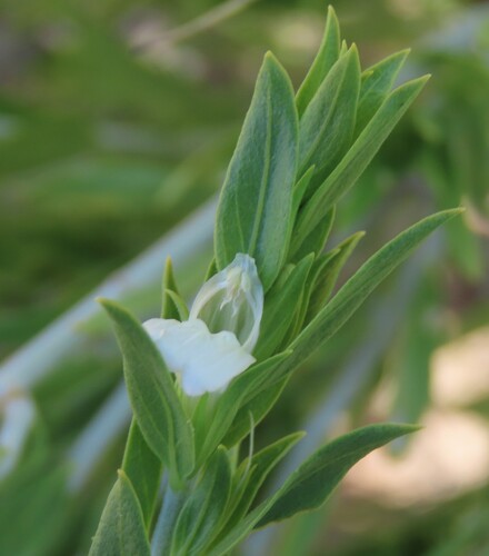
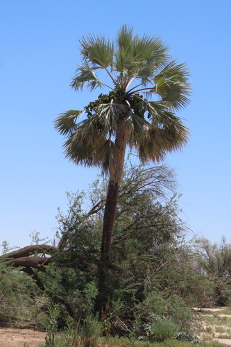
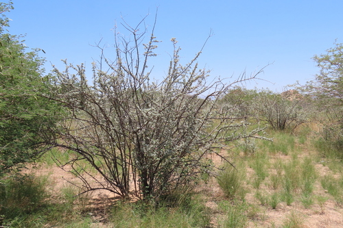
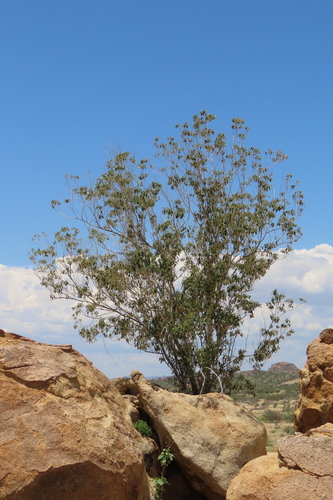
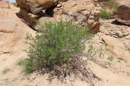
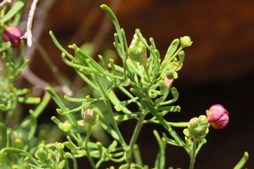
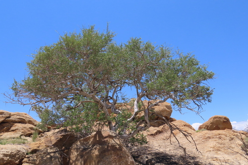
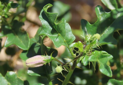
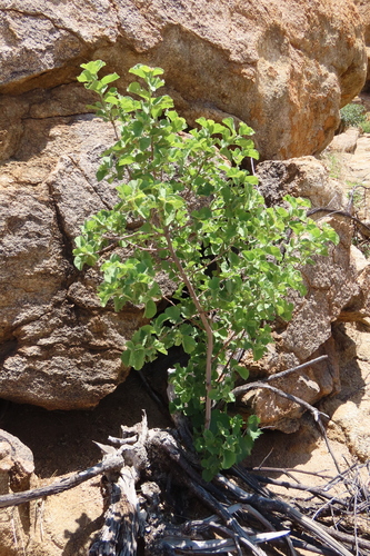
Research-grade observations from iNaturalist (within ~15 mi).
Events
Gallery
Sources
- • Wikipedia
- • Wikidata
- • Open-Meteo Air Quality (CAMS)
- • USGS Earthquake Catalog (global feed)
- • GBIF (Global Biodiversity Information Facility)
- • iNaturalist
- • Open-Meteo / sunrise-sunset.org
- • Wikipedia Pageviews API