Browse / Namibia / Hardap / Hoachanas
Hoachanas
Hardapvillage
Total population
3,500
Demographic figures from Namibia Statistics Agency. Overview below cites Wikipedia and may reference a different year.
City facts
Overview
Hoachanas is a settlement of 3,000 inhabitants in the Hardap Region of southern central Namibia, located 55 kilometres (34 mi) northeast of Kalkrand. It is situated at the junction of the main road C21 from Kalkrand, and C15 from Dordabis to Stampriet and belongs to the Mariental Rural electoral constituency.
Read more on WikipediaHistory & geography
History
Hoachanas has been the main settlement of the Red Nation, a subtribe of the Nama people, since the formation of this group at the end of the 17th century. When Manasse ǃNoreseb assumed chieftaincy of the Red Nation in 1880, Hendrik Witbooi, leader of the ǀKhowesin (Witbooi Nama), had risen to considerable power. Witbooi was an archenemy of Manasse. He installed a rival chief for the Red Nation, ǃHoeb ǁOasemab (Fritz Lazarus ǁOaseb), and attacked Hoachanas several times. Manasse and his clan, although since 1885 under a protection treaty with the German Empire which had in 1884 established the colony of German South-West Africa, fled their home settlement in 1889 and moved to Seeis, which was situated in an area under the control of Maharero. After Witbooi's troops were defeated by the Germans in 1894, Manasse returned to Hoachanas. In 1902 Imperial Germany confirmed Hoachanas as the home area of the Red Nation and created a reserve of . When the Herero and Nama War broke out in which the Germans attacked the indigenous Herero and Nama in their colonial territory, Manasse ǃNoreseb and Hendrik Witbooi ceased their hostilities and fought together against the Schutztruppe ("protection force", the unit deployed to the German colony). Manasse, with only 100 armed men, took over the defense of the central eastern area of Aranos, Leonardville, Aminuis, and Hoachanas. The ethnical structures of the Nama people were destroyed, and Hoachanas lost its importance as community centre. All land and livestock were confiscated by the Germans, and the Red Nation only got a new chief in 1922. The rest of the Nama resisted eviction throughout the apartheid era, and Kooper also was brought back by the community. In 1996, Government of Namibia bought the farms Blankenese and Gomchanas…
Geography
Hoachanas is situated on Namibia's Central Plateau in an Acacia tree and shrub savanna typical for the Kalahari. The area has an elevation of , the average annual rainfall is . The settlement is cut by the !Guwisib River, a tributary to the ephemeral Auob River. The majority of the houses at the settlement are shacks made from iron sheets. Almost half of the villagers are unemployed, literacy levels are low. The main economic activity is small livestock farming with goats and sheep.
Excerpted from the corresponding Wikipedia article (CC BY-SA).
Geography
Coordinates & boundaries from the US Census TIGER/Line shapefiles.
Climate
Air quality
Walkability
Amenities nearby
Wildlife & biodiversity
Most-observed species
- White-browed Sparrow-WeaverPlocepasser mahali A.Smith, 1836 · Aves73
- Ring-necked DoveStreptopelia capicola (Sundevall, 1857) · Aves69
- Social WeaverPhiletairus socius (Latham, 1790) · Aves57
- Southern Gray-headed SparrowPasser diffusus (A.Smith, 1836) · Aves56
- White-backed VultureGyps africanus Salvadori, 1865 · Aves56
- Rosy-faced LovebirdAgapornis roseicollis (Vieillot, 1818) · Aves54
- Cape StarlingLamprotornis nitens (Linnaeus, 1766) · Aves52
- Fork-tailed DrongoDicrurus adsimilis (Bechstein, 1794) · Aves52
Citizen-science & research observations from the Global Biodiversity Information Facility (GBIF).
Earthquake history
Events from the USGS Earthquake Catalog (global) (FDSN Event Web Service).
Photos
Sights & places nearby
Notable people from here

People born within ~10 km, from Wikidata (CC0). Click any name for their Wikipedia article.
Nearby places in Hardap
Geography & sun
Elevation, sunrise/sunset and daylight from Open-Meteo. Solar climatology from NASA POWER.
Nearby airports
Public attention
Pageview totals from the Wikimedia Pageviews API.
Books about this place
Recent natural events nearby
Ground air-quality sensors
Recently spotted species
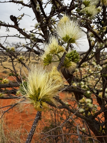
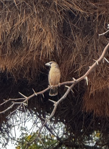
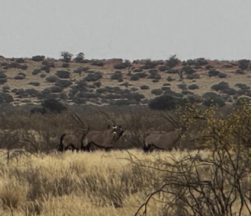
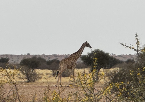
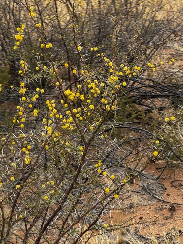
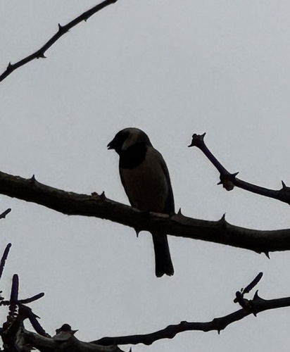
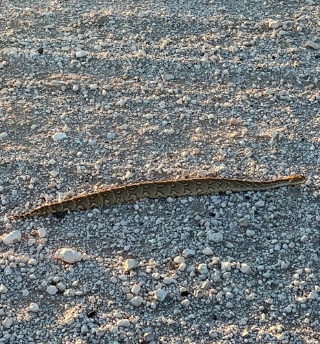
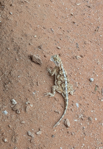
Research-grade observations from iNaturalist (within ~15 mi).
Events
Gallery
Sources
- • Wikipedia
- • Wikidata
- • USGS Earthquake Catalog (global feed)
- • GBIF (Global Biodiversity Information Facility)
- • iNaturalist
- • Open-Meteo / sunrise-sunset.org
- • Wikipedia Pageviews API