Browse / Namibia / Omaheke / Otjinene
Otjinene
Omahekevillage

Otjinene
Demographic figures from Namibia Statistics Agency. Overview below cites Wikipedia and may reference a different year.
City facts
Overview
Otjinene is a village in the Omaheke Region of Namibia. It is the district capital of the Otjinene Constituency and had a population of 6,876 people in 2023.
Read more on WikipediaHistory & geography
Geography
Otjinene is connected via a tarred road to the regional capital Gobabis, and via a road which was tarred in 2017, to Grootfontein. Otjinene is surrounded by a communal area, where there are many villages. There are more or less 20 households in each village. The majority of people around Otjinene are communal farmers, farming with cattle, goats and sheep. There is one health clinic which is operated by the Ministry of Health and Social Services, and a number of retail stores. to the Northeast is the Ozombuzovindimba heritage site. This is the place where in 1904 Lothar von Trotha issued the extermination order against the OvaHerero and Nama people, starting the Herero and Namaqua Genocide which would kill about 80% of all OvaHerero. OvaHerero and OvaMbanderu people gather annually here to commemorate lives and deaths of their ancestors.}}
Excerpted from the corresponding Wikipedia article (CC BY-SA).
Geography
Coordinates & boundaries from the US Census TIGER/Line shapefiles.
Climate
Air quality
Walkability
Amenities nearby
Wildlife & biodiversity
Earthquake history
Photos
Sights & places nearby
Notable people from here
Nearby places in Omaheke
Geography & sun
Elevation, sunrise/sunset and daylight from Open-Meteo. Solar climatology from NASA POWER.
Nearby airports
Public attention
Pageview totals from the Wikimedia Pageviews API.
Books about this place
Recent natural events nearby
Ground air-quality sensors
Recently spotted species
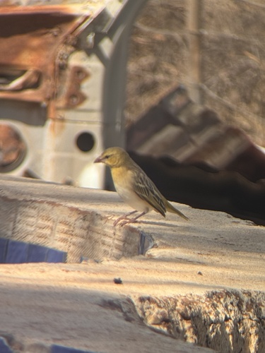
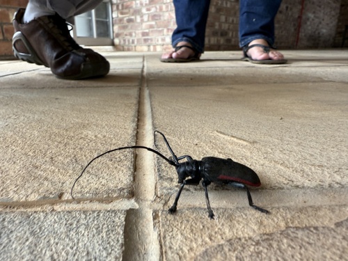
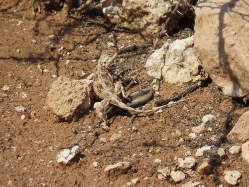
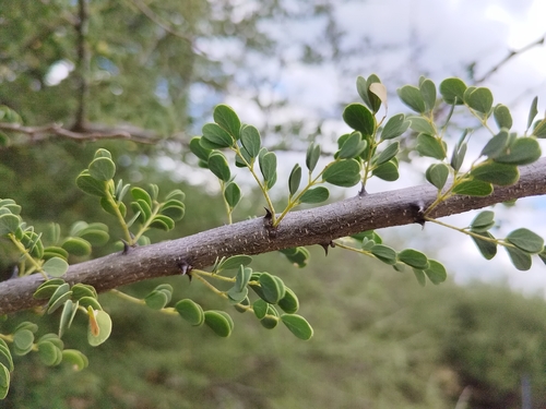
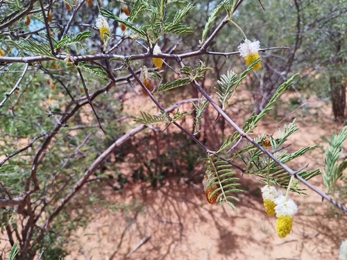
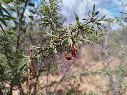
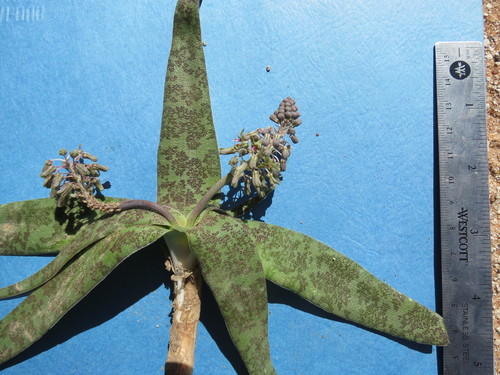
Research-grade observations from iNaturalist (within ~15 mi).
Events
Gallery
Sources
- • Wikipedia
- • Wikidata
- • iNaturalist
- • Open-Meteo / sunrise-sunset.org
- • Wikipedia Pageviews API