Browse / Namibia / Hardap / Rehoboth
Rehoboth
Hardaptown

Rehoboth
Demographic figures from Namibia Statistics Agency. Overview below cites Wikipedia and may reference a different year.
City facts
Facts from Wikidata (CC0).
Overview
Rehoboth is a town in the Hardap Region of central Namibia, just north of the Tropic of Capricorn. It had a population of 40,788 people in 2023.
Read more on WikipediaHistory & geography
History
The indigenous people of Rehoboth and its surroundings are the Damaras, of the ǃAinîn traditional community (or rather the Dama of the ǃAib [aka ǀHūǃgaoben]), a sub clan of the ǀGowanîn (Dune Damaras/ Damaras of the Kalahari). They first came upon the hot water springs after the fall of the Damara cohession in the 16th century and named the site ǀGaoǁnāǀaus (Fountain of the falling buffalo). The ǃAinîn later permanently settled at ǃNawases NE of Rehoboth in the mid 1700s under the reign of chief Xomaǀkhāb (third in line of chieftain chronology) circa 1725- (1750). The traditional community is as per post-independent Namibian legislative framework is administered by a traditional authority (ǃAinîn Traditional Authority) under the reign of Kai ǀGarub (regnal title- "Great Leopard") Chief Hans Eichab. ǀGaoǁnāǀaus was later renamed ǀAnes (place of smoke) by the Kaiǁkhaun (Rooinasie Nama of ǃHoaxaǃnâs) who for a short period had settled there before migrating to Hoachanas. The "smoke" referred to the steam that was rising over the hot water fountains on cold winter mornings. The ǀHūǃgaoben decided to settle at a distance from the fauna rich springs of Rehoboth so as not chase away game roaming the site. In 1845 ǁKhauǀgôan (Swartbooi) clan arrived under the leadership of Willem Swartbooi (ǃHuiseb ǂHaobemâb) and Franz Heinrich Kleinschmidt of the German Rhenish Missionary Society. Kleinschmidt named the place Rehoboth that year, and established a Rhenish Mission Station there. In 1864, the Nama abandoned the area as a result of an attack by the Orlam Afrikaners. Rehoboth (רחובות) means "broad/open places" in Biblical Hebrew. The arrival of the ǀHôaǀaran (Oorlam Afrikaner) in ǀAeǁgams (Windhoek) in 1840 marked the start of the ǀHôaǀaran-ǁKhauǀgôan (Oorlam…
Geography
Rehoboth lies on a high elevation plateau with several natural hot-water springs. It is situated south of the Namibian capital Windhoek on the B1 national road. The B1 intersects Rehoboth from north to south and also serves as the border of the two electoral constituencies in the town, Rehoboth Urban West and Rehoboth Urban East. It receives sparse mean annual rainfall of , although in the 2010/2011 rainy season a record were measured. The majority of the population consists of Basters.
Excerpted from the corresponding Wikipedia article (CC BY-SA).
Geography
Coordinates & boundaries from the US Census TIGER/Line shapefiles.
Climate
Air quality
Walkability
Amenities nearby
Wildlife & biodiversity
Earthquake history
Events from the USGS Earthquake Catalog (global) (FDSN Event Web Service).
Photos
Sights & places nearby
Notable people from here
People born within ~10 km, from Wikidata (CC0). Click any name for their Wikipedia article.
Nearby places in Hardap
Geography & sun
Elevation, sunrise/sunset and daylight from Open-Meteo. Solar climatology from NASA POWER.
Nearby airports
Public attention
Pageview totals from the Wikimedia Pageviews API.
Books about this place
Recent natural events nearby
Ground air-quality sensors
Recently spotted species
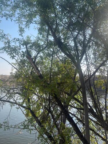
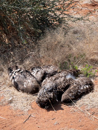
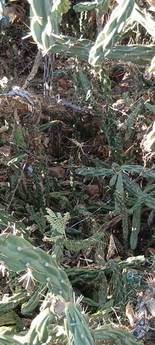
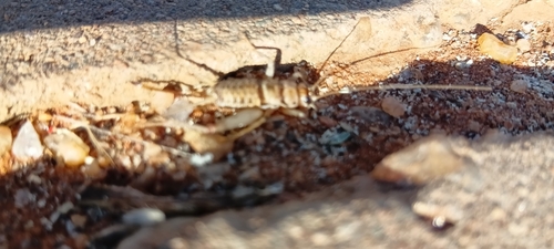
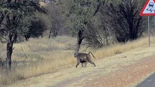
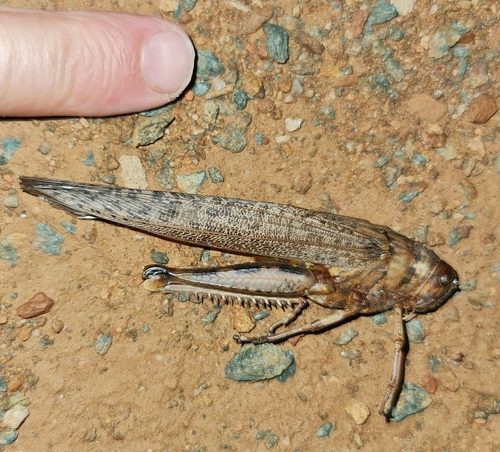
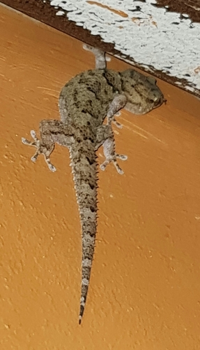
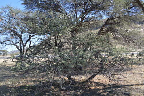
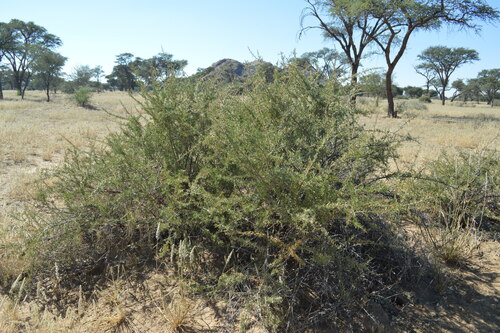
Research-grade observations from iNaturalist (within ~15 mi).
Events
Gallery
Sources
- • Wikipedia
- • Wikidata
- • USGS Earthquake Catalog (global feed)
- • iNaturalist
- • Open-Meteo / sunrise-sunset.org
- • Wikipedia Pageviews API