Browse / Namibia / Omaheke / Tsjaka
Tsjaka
Omahekevillage
No image yet
Coordinates-22.76°, 19.20°
Demographic figures from Namibia Statistics Agency. Overview below cites Wikipedia and may reference a different year.
Loading additional data from public sources…0 / 11
CensusWikipediaWeatherPlacesPeopleEnvironmentHealth & SchoolsRelatedGeography & CultureLive MonitoringEvents & Gallery
0% completeCity facts
Overview
Tsjaka is a settlement in the Omaheke Region in eastern Namibia. Located approximately 50 kilometres (31 mi) south of the regional capital Gobabis, it is inhabited primarily by the Tswana and San people. The village can only be reached by a gravel road via the C22 regional road.
Read more on WikipediaHistory & geography
Geography
Latitude
-22.7611
Longitude
19.2038
Water area
—
Coordinates & boundaries from the US Census TIGER/Line shapefiles.
Climate
Air quality
Walkability
Amenities nearby
Wildlife & biodiversity
Earthquake history
Photos
Sights & places nearby
Notable people from here
Nearby places in Omaheke
Geography & sun
Avg solar (kWh/m²/day)
6.24
Annual solar (kWh/m²)
2,279
Elevation, sunrise/sunset and daylight from Open-Meteo. Solar climatology from NASA POWER.
Nearby airports
Public attention
Wikipedia views (last 30 days)
23
Avg daily Wikipedia views
1
Attention level
Obscure
Pageview totals from the Wikimedia Pageviews API.
Books about this place
Recent natural events nearby
Ground air-quality sensors
Recently spotted species
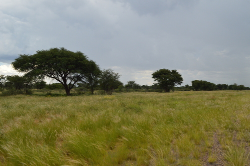
Camel Thorn
Vachellia erioloba
Seen 2026-01-14
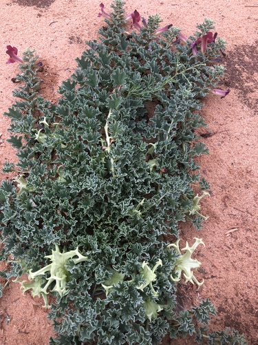
Kalahari Devilclaw
Harpagophytum procumbens
Seen 2025-12-07
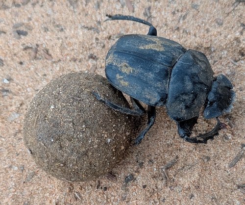
Popeye Dung Beetle
Pachylomera femoralis
Seen 2025-02-21
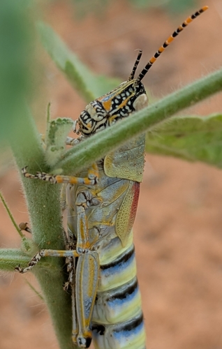
Elegant grasshopper
Zonocerus elegans
Seen 2025-02-17
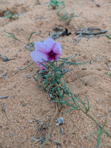
Narrowleaf Morning Glory
Ipomoea bolusiana
Seen 2025-02-17
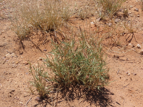
buffelgrass
Cenchrus ciliaris
Seen 2024-11-30
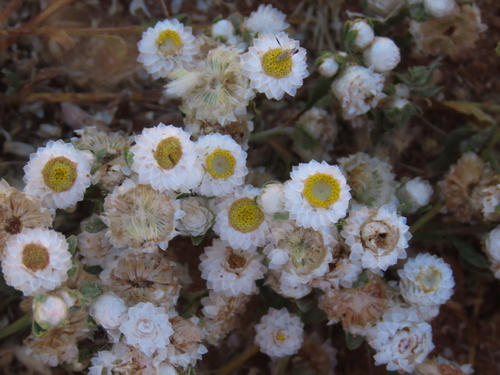
Wild Everlasting
Helichrysum argyrosphaerum
Seen 2024-11-30
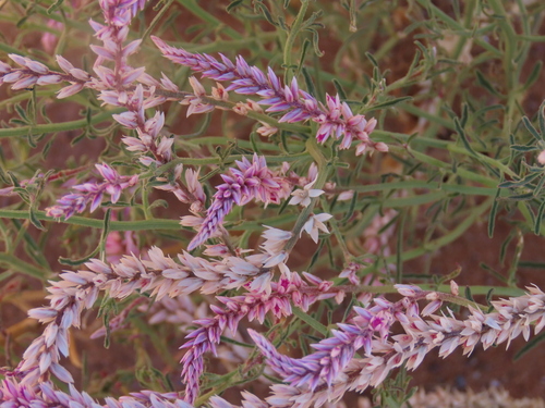
Wild Cockscomb
Hermbstaedtia odorata
Seen 2024-11-30
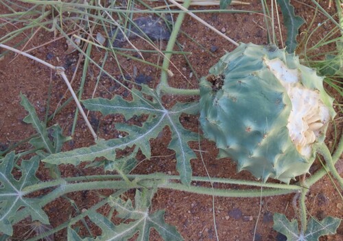
Gemsbok cucumber
Citrullus naudinianus
Seen 2024-11-30
Research-grade observations from iNaturalist (within ~15 mi).
Events
Gallery
Sources
- • Wikipedia
- • Wikidata
- • iNaturalist
- • Open-Meteo / sunrise-sunset.org
- • Wikipedia Pageviews API