Browse / United States / North Carolina / Boone
Boone
North Carolinatown

Boone
Total population
20,032
Median home value
$411,100
Bachelor's+
Median income
$30,065
Founded
1872
Demographic figures from US Census Bureau · ACS 5-year estimates. Overview below cites Wikipedia and may reference a different year.
City facts
Facts from Wikidata (CC0).
Overview
Boone is a town in and the county seat of Watauga County, North Carolina, United States. Located in the Blue Ridge Mountains of western North Carolina, Boone is the home of Appalachian State University and the headquarters of the disaster and medical relief organization Samaritan's Purse. The population was 19,092 at the 2020 census.
Read more on WikipediaHistory & geography
History
Boone took its name from the famous pioneer and explorer Daniel Boone, who on several occasions camped at a site generally agreed to be within the present city limits. Daniel's nephews, Jesse and Jonathan (sons of brother Israel Boone), were members of the town's first church, Three Forks Baptist, still in existence today. Boone was served by the narrow-gauge East Tennessee and Western North Carolina Railroad (nicknamed "Tweetsie") until the flood of 1940. The flood washed away much of the tracks and it was decided not to replace them. Boone is notable for being home to the Junaluska community. Located in the hills just north of Downtown Boone, a free black community has existed in the area since before the Civil War. Although integration in the mid-20th century led to many of the businesses in the neighborhood closing in favor of their downtown counterparts, descendants of the original inhabitants still live in the neighborhood. Junaluska is also home to one of the few majority-African American Mennonite Brethren congregations.
Geography
Boone has an elevation of above sea level. An earlier survey gave the elevation as 3,332 ft and since then it has been published as . Boone has the highest elevation of any town of its size (over 10,000 population) east of the Mississippi River. As such, Boone features, depending on the isotherm used, a warm-summer humid continental climate (Köppen Dfb), a rarity for the Southeastern United States, bordering on an oceanic climate (Cfb) and straddles the boundary between USDA Plant Hardiness Zones 6B and 7A; the elevation also results in enhanced precipitation, with of average annual precipitation. Compared to the lower elevations of the Carolinas, winters are long and cold, with frequent sleet and snowfall. The daily average temperature in January is , | source = }}
Excerpted from the corresponding Wikipedia article (CC BY-SA).
Demographics & economy
Race & ethnicity
Source: US Census Bureau — American Community Survey, 5-year estimates.
Geography
Coordinates & boundaries from the US Census TIGER/Line shapefiles.
Climate
Current forecast
Forecast for Boone, NC from NOAA NWS API.
Air quality
Industrial & pollution facilities
Natural hazard risk
Health (adults)
Age-adjusted prevalence estimates from CDC PLACES (latest release).
Walkability
Amenities nearby
Wildlife & biodiversity
Schools
Largest nearby schools
- Watauga HighHigh · Boone · 1,272 students · 12.8:1 ratio
- Hardin Park ElementaryElementary · Boone · 851 students · 10.9:1 ratio
- Parkway ElementaryElementary · Boone · 647 students · 14.1:1 ratio
- Blowing Rock ElementaryElementary · Blowing Rock · 431 students · 13.5:1 ratio
- Valle Crucis ElementaryElementary · Sugar Grove · 342 students · 11.4:1 ratio
- Green Valley ElementaryElementary · Boone · 309 students · 10.3:1 ratio
- Cove Creek ElementaryElementary · Vilas · 294 students · 10.1:1 ratio
- Watauga Innovation AcademyHigh · Boone · 274 students · 68.5:1 ratio
Public K–12 schools within ~10 mi from Urban Institute Education Data Portal (NCES Common Core of Data, 2022).
Earthquake history
Photos
Sights & places nearby
Notable people from here


People born within ~10 km, from Wikidata (CC0). Click any name for their Wikipedia article.
Nearby places in North Carolina
Geography & sun
Elevation, sunrise/sunset and daylight from Open-Meteo. Solar climatology from NASA POWER.
Nearby airports
Public attention
Pageview totals from the Wikimedia Pageviews API.
Books about Boone
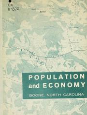

Search results from Open Library.
Recent natural events nearby
Ground air-quality sensors
Recently spotted species
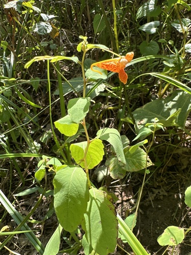
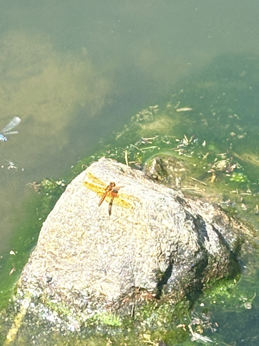
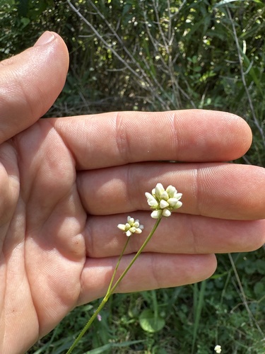
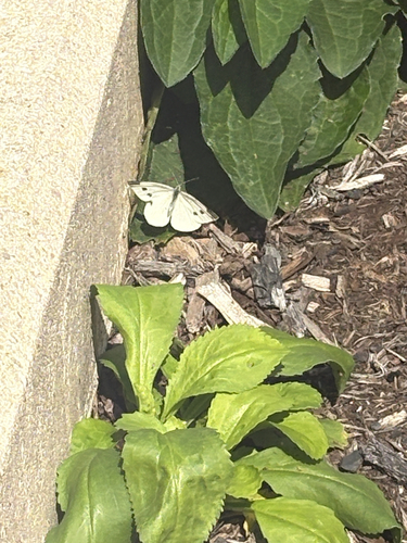
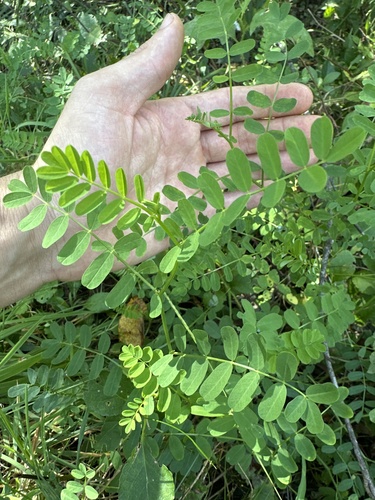
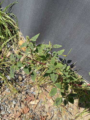
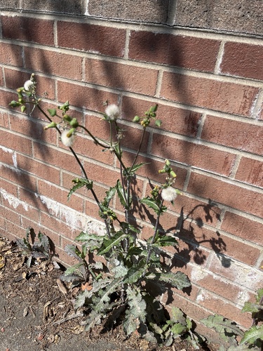
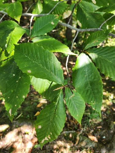
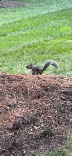
Research-grade observations from iNaturalist (within ~15 mi).
Nearest stream gauge
Events
Gallery
Sources
- • Wikipedia
- • US Census Bureau (ACS 5-year estimates)
- • NOAA National Weather Service
- • Wikidata
- • NCES via Urban Institute Education Data Portal
- • iNaturalist
- • CDC PLACES
- • Open-Meteo / sunrise-sunset.org
- • Wikipedia Pageviews API
- • Open Library