Browse / United States / North Carolina / Clemmons
Clemmons
North Carolinavillage

Clemmons
Total population
21,871
Median home value
$335,800
Bachelor's+
Median income
$87,655
Founded
1802
Demographic figures from US Census Bureau · ACS 5-year estimates. Overview below cites Wikipedia and may reference a different year.
City facts
Facts from Wikidata (CC0).
Overview
Clemmons is a village in Forsyth County, North Carolina, United States, and a suburb of Winston-Salem. The population was 21,177 at the 2020 census, with an estimated population of 21,517 in 2021.
Read more on WikipediaHistory & geography
Geography
Clemmons is located in southwestern Forsyth County, directly east of the Yadkin River. Winston-Salem is located east and northeast of the village, Lewisville is located north of the village, with Bermuda Run located west and southwest of the village. Most of the village is actually inside the overall Urban Hanes Mall district. The areas south of the overall downtown area of Clemmons, which surrounds the Davidson County line, is in its own entity, separate from the Mall District. The village is proposed to be accessed by two Interstates; Interstate 40 in the central areas of the village and the proposed-Interstate 777 in the northern outskirts of the village (in which I-777 would utilize the existing stretch of US 421). The interchange with I-40 and NC 452 (in which NC 452 would be designed as I-274), is proposed to be located in either, the eastern outskirts of the village limits or east of the entirety of the village limits. The stature of Southern Forsyth County (which includes Clemmons), includes economic considerations, shifted geography, and the likes, to connect to the "existing" hubs of Raleigh and Charlotte, the "developing" hub of Greensboro, and broader cross-regional access. According to the United States Census Bureau, Clemmons has a total area of , of which is land and , or 1.74%, is water.
Excerpted from the corresponding Wikipedia article (CC BY-SA).
Demographics & economy
Race & ethnicity
Source: US Census Bureau — American Community Survey, 5-year estimates.
Geography
Coordinates & boundaries from the US Census TIGER/Line shapefiles.
Climate
10-year averages from ERA5 reanalysis (Open-Meteo).
Current forecast
Forecast for Clemmons, NC from NOAA NWS API.
Air quality
Industrial & pollution facilities
Natural hazard risk
Health (adults)
Age-adjusted prevalence estimates from CDC PLACES (latest release).
Walkability
Amenities nearby
Wildlife & biodiversity
Schools
Largest nearby schools
- West Forsyth HighHigh · Clemmons · 2,348 students · 19.9:1 ratio
- Ronald W Reagan High SchoolHigh · Pfafftown · 2,146 students · 19.7:1 ratio
- R J Reynolds HighHigh · Winston Salem · 1,692 students · 18.6:1 ratio
- Parkland HighHigh · Winston Salem · 1,519 students · 17.1:1 ratio
- Mount Tabor High SchoolHigh · Winston Salem · 1,431 students · 17.7:1 ratio
- Clemmons Middle SchoolMiddle · Winston-Salem · 1,168 students · 19.5:1 ratio
- Meadowlark ElementaryElementary · Winston-Salem · 831 students · 15.1:1 ratio
- Flat Rock MiddleMiddle · Winston-Salem · 829 students · 15.9:1 ratio
Public K–12 schools within ~10 mi from Urban Institute Education Data Portal (NCES Common Core of Data, 2022).
Earthquake history
Photos
Sights & places nearby
Notable people from here
Nearby places in North Carolina
- Bermuda Run3.1 mi away
- Lewisville5.4 mi away · pop. 13,828
- Farmington8.5 mi away · pop. 409
- Bethania10.5 mi away
- Wallburg12.4 mi away
- Mocksville13.4 mi away
- Tobaccoville13.4 mi away
- East Bend14.4 mi away · pop. 715
- Walkertown14.6 mi away · pop. 5,873
- Tyro16.1 mi away · pop. 3,833
- Yadkinville16.7 mi away
- Germanton17.1 mi away
Geography & sun
Elevation, sunrise/sunset and daylight from Open-Meteo. Solar climatology from NASA POWER.
Nearby airports
Public attention
Pageview totals from the Wikimedia Pageviews API.
Books about Clemmons


Search results from Open Library.
Recent natural events nearby
Ground air-quality sensors
Recently spotted species
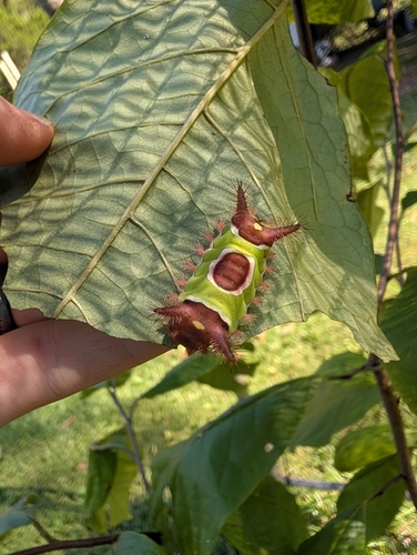
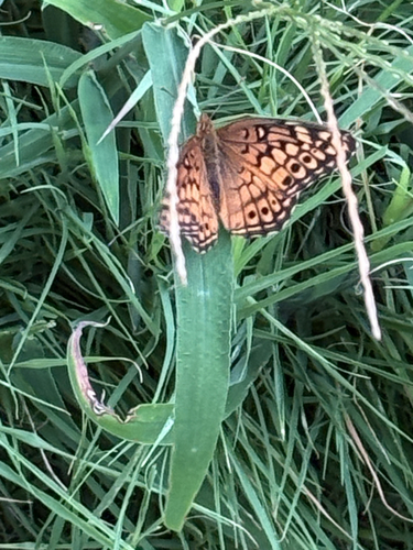
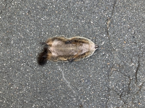
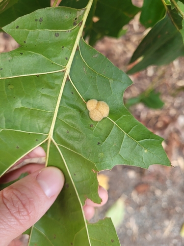
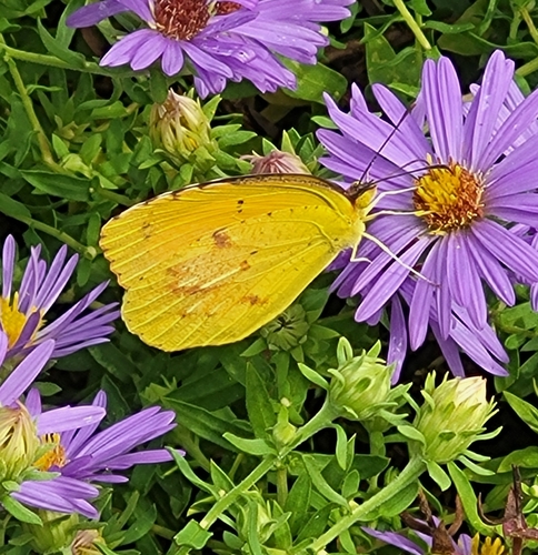

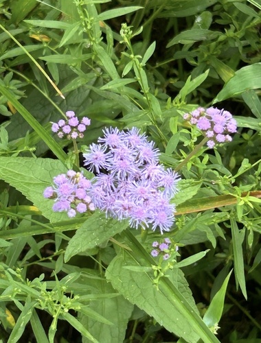
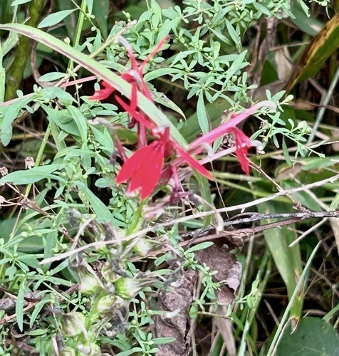
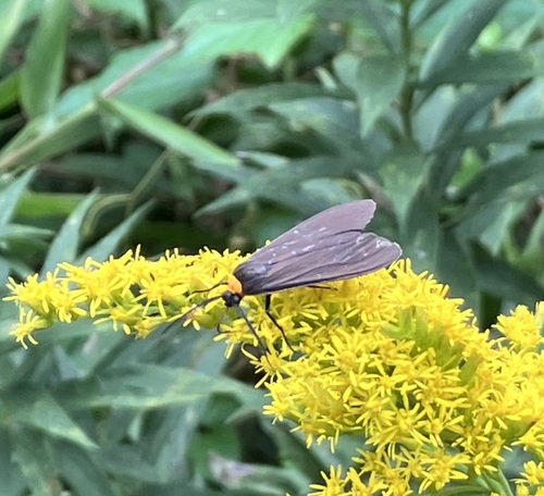
Research-grade observations from iNaturalist (within ~15 mi).
Nearest stream gauge
Events
Gallery
Sources
- • Wikipedia
- • US Census Bureau (ACS 5-year estimates)
- • Open-Meteo (ERA5 reanalysis)
- • NOAA National Weather Service
- • Wikidata
- • NCES via Urban Institute Education Data Portal
- • iNaturalist
- • CDC PLACES
- • Open-Meteo / sunrise-sunset.org
- • Wikipedia Pageviews API
- • Open Library