Browse / United States / North Carolina / Connelly Springs
Connelly Springs
North Carolinatown

Connelly Springs
Total population
2,427
Median home value
$206,500
Bachelor's+
Median income
$54,620
Air quality index
Demographic figures from US Census Bureau · ACS 5-year estimates. Overview below cites Wikipedia and may reference a different year.
City facts
Facts from Wikidata (CC0).
Overview
Connelly Springs is a town in Burke County, North Carolina, United States. As of the 2020 census, Connelly Springs had a population of 1,529. It is part of the Hickory–Lenoir–Morganton Metropolitan Statistical Area.
Read more on WikipediaHistory & geography
History
The first settler on record in the area was William Lewis Connelly, a colonel in the North Carolina militia, for whom the town was named. In 1838, Colonel Connelly built a log home and operated a way station where fresh horses could be made available for the stagecoach line that ran from Salisbury to Asheville. He also took in boarders who were looking to spend a night during a long journey. During this time, a settlement grew up around the way station, which was then known as Happy Home, and a post office was established. In 1885, the area was found to have a mineral spring, thought to be beneficial in healing a large number of diseases. Mrs. Elmira Connelly opened her spring to others, and before long people were arriving by horse and wagon, and by train, to cart water away in five-gallon demijohns. The popularity of Mrs. Connelly's mineral spring led to the construction of the Connelly Mineral Springs Hotel, a 50-room hotel that was built along the railroad tracks, and near the mineral spring discovered by Mrs. Connelly. As the town grew, it became known as Connelly Springs, and was incorporated as such on May 4, 1920.
Geography
Connelly Springs is located in eastern Burke County. It is bordered to the west by the town of Rutherford College and to the north by Rhodhiss Lake on the Catawba River. Interstate 40 forms part of the southern boundary of the town and leads east to Hickory and west to Morganton. U.S. Route 70 is the main local road through the town. According to the United States Census Bureau, the town has a total area of , all land.
Excerpted from the corresponding Wikipedia article (CC BY-SA).
Demographics & economy
Race & ethnicity
Source: US Census Bureau — American Community Survey, 5-year estimates.
Geography
Coordinates & boundaries from the US Census TIGER/Line shapefiles.
Climate
Current forecast
Forecast for Connelly Springs, NC from NOAA NWS API.
Air quality
Current readings from Open-Meteo Air Quality API (Copernicus CAMS European reanalysis).
Industrial & pollution facilities
Natural hazard risk
Health (adults)
Walkability
Amenities nearby
Wildlife & biodiversity
Most-observed species
- Northern CardinalCardinalis cardinalis (Linnaeus, 1758) · Aves2,746
- Carolina WrenThryothorus ludovicianus (Latham, 1790) · Aves2,270
- Carolina ChickadeePoecile carolinensis (Audubon, 1834) · Aves2,121
- Tufted TitmouseBaeolophus bicolor (Linnaeus, 1766) · Aves2,109
- American CrowCorvus brachyrhynchos C.L.Brehm, 1822 · Aves1,867
- Eastern BluebirdSialia sialis (Linnaeus, 1758) · Aves1,836
- Blue JayCyanocitta cristata (Linnaeus, 1758) · Aves1,661
- Mourning DoveZenaida macroura (Linnaeus, 1758) · Aves1,627
Citizen-science & research observations from the Global Biodiversity Information Facility (GBIF).
Schools
Earthquake history
Most recent
- M 2.73 — 2025-08-147 km N of Columbus, North Carolina
- M 2.65 — 2021-08-176 km N of Morganton, North Carolina
- M 2.79 — 2021-02-128 km SW of Banner Hill, Tennessee
- M 2.56 — 2021-02-041 km SSW of Sparta, North Carolina
- M 2.81 — 2020-10-253 km ENE of Sparta, North Carolina
- M 2.63 — 2020-10-0116 km W of Sparta, North Carolina
Events from the USGS Earthquake Catalog (global) (FDSN Event Web Service).
Photos
Sights & places nearby
Notable people from here


People born within ~10 km, from Wikidata (CC0). Click any name for their Wikipedia article.
Nearby places in North Carolina
- Rhodhiss3.7 mi away
- Valdese4.2 mi away · pop. 4,704
- Granite Falls5 mi away
- Long View6.6 mi away
- Cajah's Mountain7 mi away
- Mountain View8.7 mi away · pop. 3,982
- Gamewell9.4 mi away
- Lenoir10.7 mi away
- Bethlehem11.8 mi away
- Salem12 mi away · pop. 2,377
- St. Stephens12.6 mi away · pop. 9,457
- Lincolnton24.1 mi away · pop. 11,783
Geography & sun
Elevation, sunrise/sunset and daylight from Open-Meteo. Solar climatology from NASA POWER.
Nearby airports
Public attention
Pageview totals from the Wikimedia Pageviews API.
Books about Connelly Springs


Search results from Open Library.
Recent natural events nearby
Ground air-quality sensors
Recently spotted species
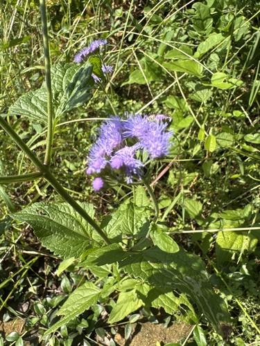
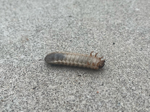
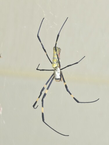
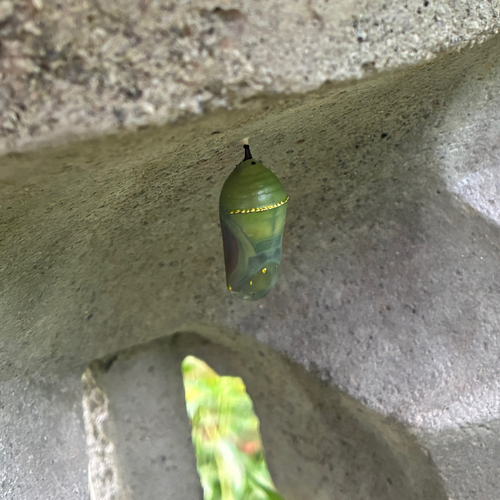
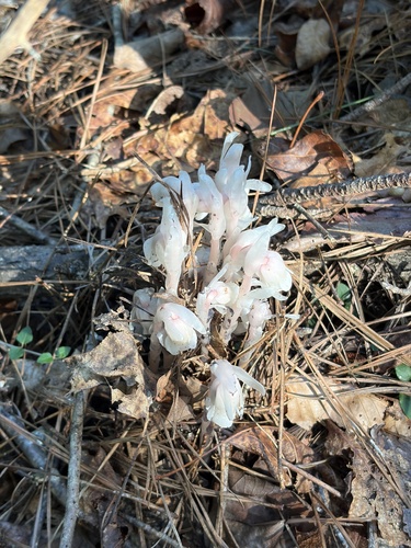
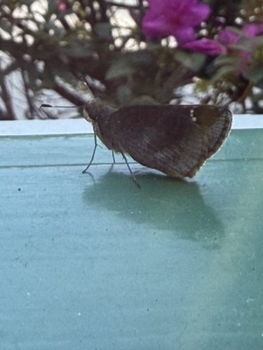
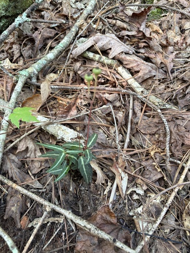
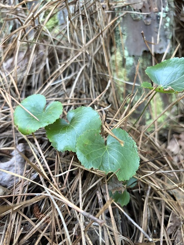
Research-grade observations from iNaturalist (within ~15 mi).
Nearest stream gauge
Events
Gallery
Sources
- • Wikipedia
- • US Census Bureau (ACS 5-year estimates)
- • NOAA National Weather Service
- • Wikidata
- • Open-Meteo Air Quality (CAMS)
- • USGS Earthquake Catalog (global feed)
- • GBIF (Global Biodiversity Information Facility)
- • iNaturalist
- • Open-Meteo / sunrise-sunset.org
- • Wikipedia Pageviews API
- • Open Library