Browse / United States / North Carolina / Dudley
Dudley
North CarolinaCDP

Dudley
Total population
2,305
Median home value
$90,000
Bachelor's+
Median income
$42,050
Demographic figures from US Census Bureau · ACS 5-year estimates. Overview below cites Wikipedia and may reference a different year.
City facts
Facts from Wikidata (CC0).
Overview
Dudley is an unincorporated community and census-designated place (CDP) in Wayne County, North Carolina, United States, about 9 miles south of Goldsboro. It was first listed as a CDP in the 2020 census with a population of 826. Dudley is included in the Goldsboro, North Carolina Metropolitan Statistical Area.
Read more on WikipediaHistory & geography
History
Another town named Dudley originally existed several miles north from its current location. It was founded by Labon Lewis, the son of a Revolutionary soldier, named for his deceased brother Dudley Lewis. On January 13, 1840, a post office was established for this town. This office's name was later changed to Everettsville, which was moved to a new location in 1849 and was closed in 1866. The second and present town bearing the name was set up around 1836-1840 as a camp for the Wilmington & Weldon Railroad. This time, however, it was named for Governor Edward B. Dudley, the railroad's founder. In the years in which the village grew, it gained a depot and a passenger station. Its post office was established on February 3, 1850. In December 1862, during the Battle of Goldsborough Bridge, a number of buildings and railroad cars were destroyed in Dudley by the Union Army under Maj. Gen. John G. Foster. Dudley was incorporated in 1897, with J. W. Hatch elected as the town's first mayor. The town's government lasted for many years until eventually no more officials were elected and the incorporation ended. The Georgia Pacific Corporation opened a facility in Dudley in 1973 and now employs over 625 people.
Excerpted from the corresponding Wikipedia article (CC BY-SA).
Demographics & economy
Race & ethnicity
Source: US Census Bureau — American Community Survey, 5-year estimates.
Geography
Coordinates & boundaries from the US Census TIGER/Line shapefiles.
Climate
10-year averages from ERA5 reanalysis (Open-Meteo).
Current forecast
Forecast for Dudley, NC from NOAA NWS API.
Air quality
Industrial & pollution facilities
Natural hazard risk
Health (adults)
Age-adjusted prevalence estimates from CDC PLACES (latest release).
Walkability
Amenities nearby
Wildlife & biodiversity
Most-observed species
- Northern CardinalCardinalis cardinalis (Linnaeus, 1758) · Aves1,809
- Carolina WrenThryothorus ludovicianus (Latham, 1790) · Aves1,587
- American CrowCorvus brachyrhynchos C.L.Brehm, 1822 · Aves1,577
- Mourning DoveZenaida macroura (Linnaeus, 1758) · Aves1,426
- Carolina ChickadeePoecile carolinensis (Audubon, 1834) · Aves1,350
- Tufted TitmouseBaeolophus bicolor (Linnaeus, 1766) · Aves1,294
- Turkey VultureCathartes aura (Linnaeus, 1758) · Aves1,206
- Northern MockingbirdMimus polyglottos (Linnaeus, 1758) · Aves1,155
Citizen-science & research observations from the Global Biodiversity Information Facility (GBIF).
Schools
Largest nearby schools
- Southern Wayne HighHigh · Dudley · 1,066 students · 19.4:1 ratio
- Spring Creek ElementaryElementary · Goldsboro · 829 students · 16.3:1 ratio
- Brogden PrimaryElementary · Dudley · 764 students · 15.6:1 ratio
- Spring Creek HighHigh · Seven Springs · 753 students · 16.7:1 ratio
- Meadow Lane ElementaryElementary · Goldsboro · 692 students · 13.3:1 ratio
- Spring Creek MiddleMiddle · Seven Springs · 624 students · 17.8:1 ratio
- Brogden MiddleMiddle · Dudley · 588 students · 24.5:1 ratio
- Carver ElementaryElementary · Mount Olive · 556 students · 16.4:1 ratio
Public K–12 schools within ~10 mi from Urban Institute Education Data Portal (NCES Common Core of Data, 2022).
Earthquake history
Events from the USGS Earthquake Catalog (global) (FDSN Event Web Service).
Photos
Sights & places nearby
Notable people from here


People born within ~10 km, from Wikidata (CC0). Click any name for their Wikipedia article.
Nearby places in North Carolina
- Mar-Mac4.6 mi away
- Goldsboro8.7 mi away · pop. 34,383
- Walnut Creek9.8 mi away · pop. 1,422
- Seven Springs11.4 mi away · pop. 32
- Faison11.6 mi away
- Fremont19.6 mi away · pop. 943
- Turkey20.4 mi away
- Eureka21.2 mi away · pop. 224
- Kenansville21.5 mi away · pop. 1,090
- Vann Crossroads21.6 mi away · pop. 187
- Jackson Heights23.2 mi away · pop. 794
- Snow Hill24.2 mi away · pop. 2,438
Geography & sun
Elevation, sunrise/sunset and daylight from Open-Meteo. Solar climatology from NASA POWER.
Nearby airports
Public attention
Pageview totals from the Wikimedia Pageviews API.
Books about Dudley


Search results from Open Library.
Recent natural events nearby
Ground air-quality sensors
Recently spotted species
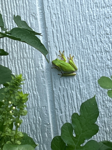
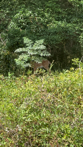
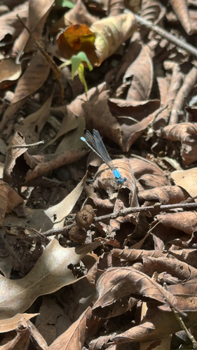
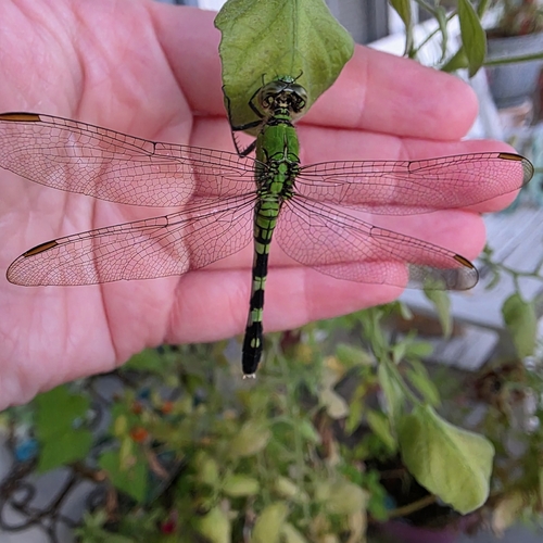
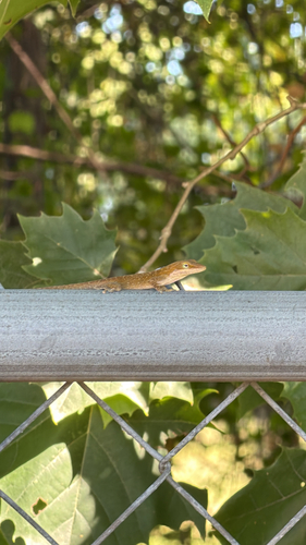
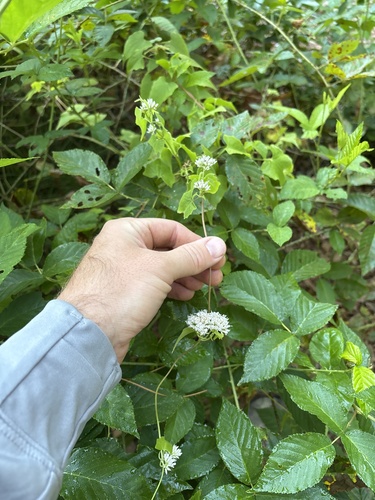
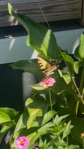
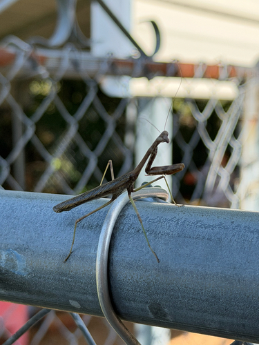
Research-grade observations from iNaturalist (within ~15 mi).
Nearest stream gauge
Events
Gallery
Sources
- • Wikipedia
- • US Census Bureau (ACS 5-year estimates)
- • Open-Meteo (ERA5 reanalysis)
- • NOAA National Weather Service
- • Wikidata
- • USGS Earthquake Catalog (global feed)
- • NCES via Urban Institute Education Data Portal
- • GBIF (Global Biodiversity Information Facility)
- • iNaturalist
- • CDC PLACES
- • Open-Meteo / sunrise-sunset.org
- • Wikipedia Pageviews API
- • Open Library