Browse / United States / North Carolina / Goldsboro
Goldsboro
North Carolinacity

Goldsboro
Total population
34,383
Median home value
$200,400
Bachelor's+
Median income
$48,540
Founded
1787
Demographic figures from US Census Bureau · ACS 5-year estimates. Overview below cites Wikipedia and may reference a different year.
City facts
Facts from Wikidata (CC0).
Overview
Goldsboro, originally Goldsborough, is a city in and the county seat of Wayne County, North Carolina, United States. The population was 33,657 at the 2020 census. It is the principal city of the Goldsboro, North Carolina Metropolitan Statistical Area. The nearby town of Waynesboro was founded in 1787, and Goldsboro was incorporated in 1847.
Read more on WikipediaHistory & geography
History
Around 1787, when Wayne County was formed, a town named Waynesborough grew around the county's courthouse. In 1787, William Whitfield III (son of William Whitfield II) and his son were appointed "Directors and Trustees" for designing and building the town. Located on the east bank of the Neuse River, the town became the county seat. Population growth in Waynesborough continued through the 1830s. However, that changed once the Wilmington and Weldon Railroad was completed in the early 1840s. By then, a hotel had been built at the intersection of the railroad and New Bern Road, which grew into a community after the train started to transport passengers from there. More and more citizens soon moved from Waynesborough to the growing village, named eventually "Goldsborough's Junction" after Major Matthew T. Goldsborough, an Assistant Chief Engineer with the railroad line. Later it was shortened simply to Goldsborough. In 1847, the town was incorporated and became the new Wayne County seat following a vote of the citizens of Wayne County. Local legend has it the Goldsborough supporters put moonshine in the town's well to encourage people to vote for Goldsborough. Goldsborough's growth continued in part by new railroad connections to Charlotte and Beaufort. By 1861, the town's population was estimated to be 1,500. It was the trading center of a rural area that started with yeoman farmers. By this time, it had been developed as large cotton plantations dependent on the labor of enslaved African Americans, as the invention of the cotton gin had enabled profitable cultivation of short-staple cotton in the up-counties. Because of its importance as a railroad junction, Goldsborough played a significant role in the Civil War, both for stationing Confederate troops and for…
Geography
According to the United States Census Bureau, the city has a total area of , of which is land and (0.08%) is water. The Neuse River defines the southern boundary of the city. Little River is a class WS-III river which provides the water source for Goldsboro. It runs through the west of the city, and joins the Neuse River about south of US 70. Stoney Creek runs through the east of the city between downtown and Seymour Johnson Air Force Base. As of 1982 the Goldsboro waste-water treatment plant accounted for 59% of total effluent discharged into the Neuse between Clayton and Kinston. Quaker Neck Lake is an artificial lake which supplies cooling water to the H.F. Lee Energy Complex. The closest reservoirs are Cogdells Pond, to the northeast and Wills Pond, to the west. Wills Pond is also known as Bear Creek W/S Lake Number Four. Wills Pond impounds Old Mill Branch, a tributary of Bear Creek that flows east and enters Bear Creek near its headwaters. Goldsboro's location on the Atlantic Coastal Plain gives it a humid subtropical climate, with hot humid summers and cool winters. The hottest month is July, with an average high temperature of 91 °F (31 °C), and an average low of 71 °F (22 °C). The coldest month is January, with an average high of 54 °F (11 °C), and an average low of 34 °F (0 °C). The annual total rainfall is 52.53 inches (1,334 mm), falling relatively evenly with a slight wet season in the late summer/early fall. Some light to moderate snowfall can take place in winter, but amounts can fluctuate greatly and can range from no snow to totals over one foot (30 cm) in some years.
Excerpted from the corresponding Wikipedia article (CC BY-SA).
Demographics & economy
Race & ethnicity
Source: US Census Bureau — American Community Survey, 5-year estimates.
Geography
Coordinates & boundaries from the US Census TIGER/Line shapefiles.
Climate
Current forecast
Forecast for Goldsboro, NC from NOAA NWS API.
Air quality
Industrial & pollution facilities
Natural hazard risk
Health (adults)
Walkability
Amenities nearby
Wildlife & biodiversity
Schools
Earthquake history
Photos
Sights & places nearby
Notable people from here


People born within ~10 km, from Wikidata (CC0). Click any name for their Wikipedia article.
Nearby places in North Carolina
- Mar-Mac5.8 mi away
- Walnut Creek7.3 mi away · pop. 1,422
- Dudley8.7 mi away · pop. 2,305
- Fremont11.4 mi away · pop. 943
- Eureka12.5 mi away · pop. 224
- Seven Springs12.8 mi away · pop. 32
- Snow Hill17.4 mi away · pop. 2,438
- Black Creek18 mi away · pop. 749
- Faison20.3 mi away
- Hookerton21.8 mi away · pop. 573
- Jackson Heights21.9 mi away · pop. 794
- Saratoga22 mi away · pop. 291
Geography & sun
Elevation, sunrise/sunset and daylight from Open-Meteo. Solar climatology from NASA POWER.
Nearby airports
Public attention
Pageview totals from the Wikimedia Pageviews API.
Books about Goldsboro
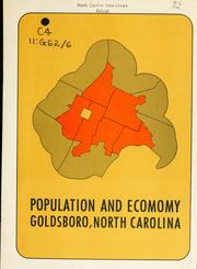


Search results from Open Library.
Recent natural events nearby
Ground air-quality sensors
Recently spotted species
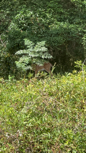
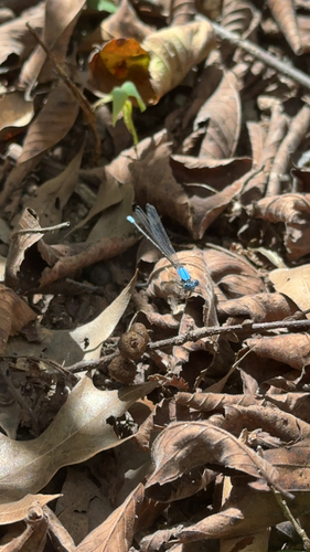




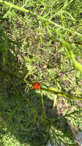

Research-grade observations from iNaturalist (within ~15 mi).
Nearest stream gauge
Events
Gallery
Sources
- • Wikipedia
- • US Census Bureau (ACS 5-year estimates)
- • NOAA National Weather Service
- • Wikidata
- • iNaturalist
- • Open-Meteo / sunrise-sunset.org
- • Wikipedia Pageviews API
- • Open Library