Browse / United States / North Carolina / Elizabeth City
Elizabeth City
North Carolinacity

Elizabeth City
Total population
18,871
Median home value
$187,700
Bachelor's+
Median income
$52,141
Founded
1794
Demographic figures from US Census Bureau · ACS 5-year estimates. Overview below cites Wikipedia and may reference a different year.
City facts
Facts from Wikidata (CC0).
Overview
Elizabeth City is a city in Pasquotank County, North Carolina, United States. As of the 2020 census, it had a population of 18,629. Elizabeth City is the county seat and most populous city of Pasquotank County. It is the cultural, economic and educational hub of the sixteen-county Historic Albemarle region of northeastern North Carolina.
Read more on WikipediaHistory & geography
History
Located at the narrows of the Pasquotank River, colonists used the area that developed as Elizabeth City as a trading site. As early as the mid 18th century, they established inspection stations and ferries. With the addition of minor roads, a schoolhouse, and soon a church, a small community developed at these narrows. In 1793, businessmen supported construction of the Dismal Swamp Canal; it was integral to the success of Elizabeth City's commerce. The North Carolina Assembly incorporated the town as "Redding", renaming it in 1794 as "Elizabethtown". Due to resulting confusion with another town of the same name, in 1801, the city was renamed as "Elizabeth City". The name "Elizabeth" has been attributed to Elizabeth "Betsy" Tooley, a local tavern proprietress who donated much of the land for the new town. With improvements to the Dismal Swamp Canal, commerce flourished and Elizabeth City became a financial center of trade and commercially successful in the early 19th century. In 1826, the federal government purchased 600 stocks in the canal and, in 1829, additional funds for improvements were raised by the Norfolk lottery. With these funds, the Dismal Swamp Canal was widened and deepened, allowing for larger boats to ship their goods to and from the city. Further bolstering Elizabeth City's financial success, the US customs house was relocated in 1827 from Camden County to Elizabeth City. From 1829 to 1832, Elizabeth City's tolls tripled for commercial shipping. During the American Civil War, the Confederate States had a small fleet stationed at Elizabeth City. After the Battle of Roanoke Island, Union forces sent a fleet to take the city. A small skirmish resulted in a Union victory. Elizabeth City was under Union control for the remainder of the war, as was most…
Geography
Elizabeth City is located alongside the Pasquotank River, which connects to Albemarle Sound. Directly across the river lies Camden County. According to the United States Census Bureau, Elizabeth City has a total area of , of which is land and , or 5.09%, is water. Located in the "Inner Banks" region of North Carolina, Elizabeth City is largely flat and marshy with an elevation of only above sea level. The city's semi-coastal geography has played an important role in its history—Elizabeth City once hosted thriving oyster and timber industries. Elizabeth City has a humid subtropical climate, experiencing only modest seasonal variation in temperature and precipitation. Because it is relatively close to the Albemarle Sound and the Atlantic Ocean, the temperature variations in the area are somewhat softened. On average, Elizabeth City has its highest temperature and accumulation of precipitation in July. Elizabeth City commonly experiences thunderstorms during the summer months and has endured many tropical storms and hurricanes due to its proximity to the Atlantic Ocean. This city experiences very little snowfall, however, receiving on average a total of of snow annually. ;Notes:
Excerpted from the corresponding Wikipedia article (CC BY-SA).
Demographics & economy
Race & ethnicity
Source: US Census Bureau — American Community Survey, 5-year estimates.
Geography
Coordinates & boundaries from the US Census TIGER/Line shapefiles.
Climate
Current forecast
Forecast for Elizabeth City, NC from NOAA NWS API.
Air quality
Industrial & pollution facilities
Natural hazard risk
Health (adults)
Walkability
Amenities nearby
Wildlife & biodiversity
Schools
Earthquake history
Photos
Sights & places nearby
Notable people from here


People born within ~10 km, from Wikidata (CC0). Click any name for their Wikipedia article.
Nearby places in North Carolina
Geography & sun
Elevation, sunrise/sunset and daylight from Open-Meteo. Solar climatology from NASA POWER.
Nearby airports
Public attention
Pageview totals from the Wikimedia Pageviews API.
Books about Elizabeth City


Search results from Open Library.
Recent natural events nearby
Ground air-quality sensors
Recently spotted species

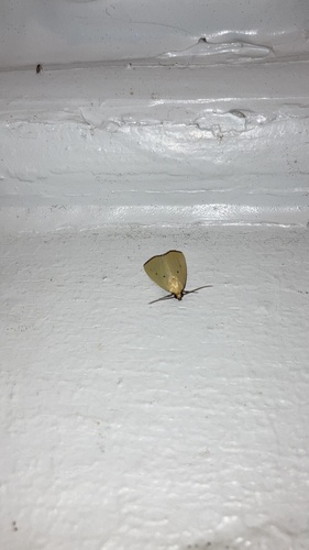



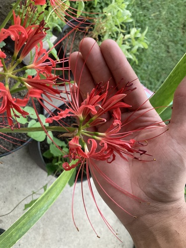
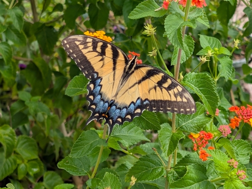


Research-grade observations from iNaturalist (within ~15 mi).
Nearest stream gauge
Live readings from USGS NWIS · measured 2026-09-17 03:15 UTC.
Events
Gallery
Sources
- • Wikipedia
- • US Census Bureau (ACS 5-year estimates)
- • NOAA National Weather Service
- • Wikidata
- • USGS NWIS (water data)
- • iNaturalist
- • Open-Meteo / sunrise-sunset.org
- • Wikipedia Pageviews API
- • Open Library