Browse / United States / North Carolina / Morrisville
Morrisville
North Carolinatown

Morrisville
Total population
31,422
Median home value
$518,800
Bachelor's+
Median income
$125,396
Founded
1852
Demographic figures from US Census Bureau · ACS 5-year estimates. Overview below cites Wikipedia and may reference a different year.
City facts
Facts from Wikidata (CC0).
Overview
Morrisville is a town located primarily in Wake County, North Carolina, United States. The population was 29,630 at the 2020 census. Located midway between Raleigh and Durham, Morrisville is part of the Research Triangle metropolitan region. The operational headquarters of Lenovo is located in the municipal limits.
Read more on WikipediaHistory & geography
History
The area was originally named in 1852 after Jeremiah Morris. Morris donated land to the North Carolina Railroad for a depot, water tower, and other buildings. The town continued to grow as a result of the rail line and its location at the intersection of roads leading to Chapel Hill, Raleigh, and Hillsborough. On April 13, 1865, in the Battle of Morrisville, United States cavalry under the command of Gen. Judson Kilpatrick skirmished with the retreating Confederate armies at Morrisville Station. The Confederate troops were successful in evacuating their remaining supplies and wounded to the west toward Greensboro, but Gen. William Tecumseh Sherman's cavalry forced the Confederates to leave the train behind and retreat toward Durham and the eventual surrender of the largest Confederate force of the war at Bennett Place. The town was officially chartered in 1875 but was disincorporated in 1933. Eventually the town charter was restored in 1947. Morrisville History (as listed on historical marker): Morrisville Station: "On April 16, 1865, Union cavalry under the command of General William T. Sherman, captured Raleigh and pursued the retreating Confederate cavalry west along the railroad. Rearguard skirmishes erupted at points along the Hillsborough Road until the combatants reached Morrisville. Using cavalry and artillery, Union forces attacked a Confederate train loaded with supplies and wounded. Before withdrawing, the Confederate cavalry repelled the attack long enough to allow the railcars of wounded to escape while abandoning the supplies. This was the last major cavalry engagement in Sherman's campaign. The next night, a courier from the Confederate commander, General Joseph E. Johnston, rode into the Union camp at Morrisville with a truce proposal. Subsequent…
Geography
According to the United States Census Bureau, the town has a total area of , of which is land and , or 0.62%, is water. Morrisville is located in the northeast central region of North Carolina, where the North American Piedmont and Atlantic Coastal Plain regions meet. This area is known as the "Fall Line" because it marks the elevation inland at which waterfalls begin to appear in creeks and rivers. As a result, most of Morrisville features gently rolling hills that slope eastward toward the state's flat coastal plain. Its central Piedmont location situates the county approximately three hours west of Atlantic Beach by car and four hours east of the Great Smoky Mountains. The central core of Morrisville is located along the upper portion of Crabtree Creek, which then feeds into Lake Crabtree, located in the southeastern part of the town. Morrisville enjoys a moderate subtropical climate, with moderate temperatures in the spring, fall, and winter. Summers are typically hot with high humidity. Winter highs generally range in the low 50s°F (10 to 13 °C) with lows in the low-to-mid 30s°F (-2 to 2 °C), although an occasional or warmer winter day is not uncommon. This is canceled out, however, with several days where highs do not get out of the 30s. There are usually one or two substantial snowfalls per winter, occurring mainly in February. Spring and fall days usually reach the low-to-mid 70s°F (low 20s°C), with lows at night in the lower 50s°F (10 to 14 °C). Summer daytime highs often reach the upper 80s to low 90s°F (29 to 35 °C). The rainiest months are July and August.
Excerpted from the corresponding Wikipedia article (CC BY-SA).
Demographics & economy
Race & ethnicity
Source: US Census Bureau — American Community Survey, 5-year estimates.
Geography
Coordinates & boundaries from the US Census TIGER/Line shapefiles.
Climate
Current forecast
Forecast for Morrisville, NC from NOAA NWS API.
Air quality
Industrial & pollution facilities
Natural hazard risk
Health (adults)
Age-adjusted prevalence estimates from CDC PLACES (latest release).
Walkability
Amenities nearby
Wildlife & biodiversity
Schools
Largest nearby schools
- Leesville Road HighHigh · Raleigh · 2,613 students · 20.6:1 ratio
- Apex HighHigh · Apex · 2,500 students · 19.7:1 ratio
- Panther Creek HighHigh · Cary · 2,435 students · 20.6:1 ratio
- Cary HighHigh · Cary · 2,145 students · 17.6:1 ratio
- Athens Drive HighHigh · Raleigh · 2,062 students · 16.2:1 ratio
- Green Level HighHigh · Cary · 2,052 students · 20.3:1 ratio
- Green Hope HighHigh · Cary · 2,001 students · 19.8:1 ratio
- Mills Park MiddleMiddle · Cary · 1,630 students · 19.2:1 ratio
Public K–12 schools within ~10 mi from Urban Institute Education Data Portal (NCES Common Core of Data, 2022).
Earthquake history
Photos
Sights & places nearby
Notable people from here


People born within ~10 km, from Wikidata (CC0). Click any name for their Wikipedia article.
Nearby places in North Carolina
- Carolina Meadows10.1 mi away · pop. 555
- Governors Club11.7 mi away · pop. 1,787
- Gorman14.3 mi away · pop. 1,591
- Briar Chapel15.6 mi away
- Creedmoor21.9 mi away · pop. 4,997
- Youngsville23.5 mi away · pop. 3,011
- Saxapahaw28.1 mi away · pop. 1,301
- Franklinton28.2 mi away · pop. 2,645
- Lillington29.3 mi away
- Coats31.2 mi away
- Gulf31.4 mi away
- Swepsonville31.8 mi away · pop. 2,517
Geography & sun
Elevation, sunrise/sunset and daylight from Open-Meteo. Solar climatology from NASA POWER.
Nearby airports
Public attention
Pageview totals from the Wikimedia Pageviews API.
Books about Morrisville

Search results from Open Library.
Recent natural events nearby
Ground air-quality sensors
Recently spotted species
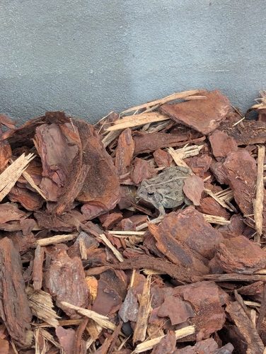
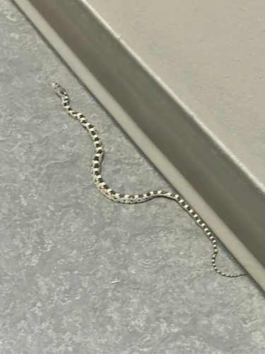
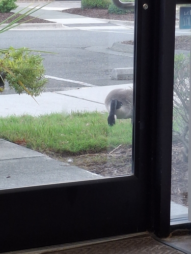
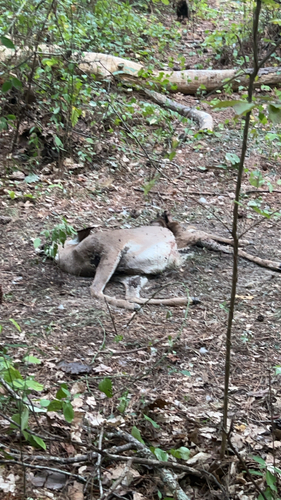
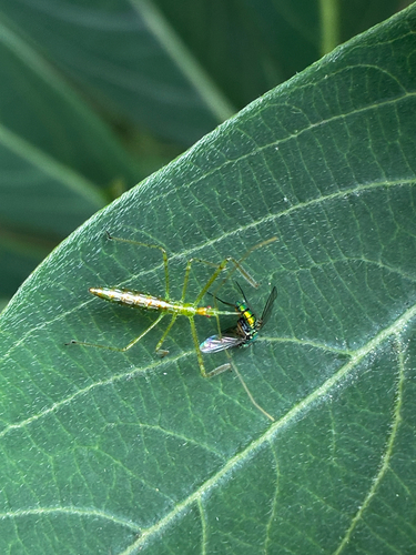
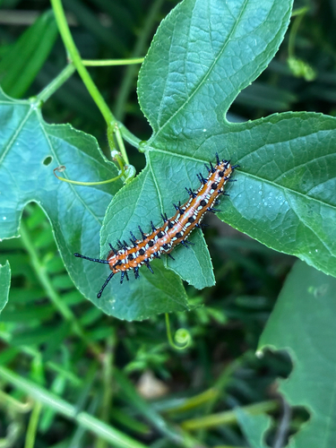
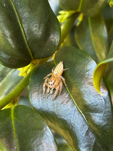
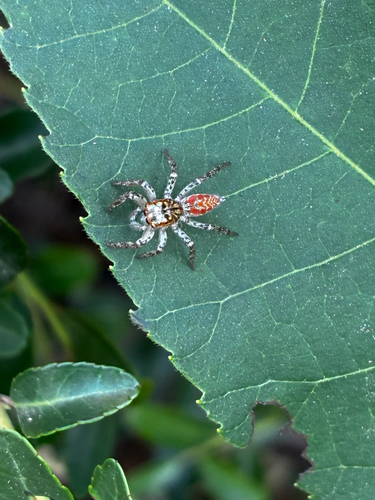
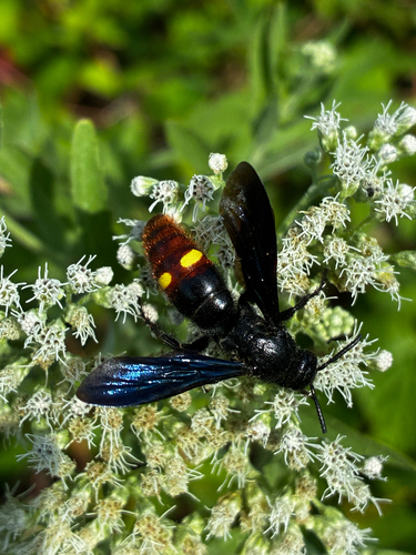
Research-grade observations from iNaturalist (within ~15 mi).
Nearest stream gauge
Events
Gallery
Sources
- • Wikipedia
- • US Census Bureau (ACS 5-year estimates)
- • NOAA National Weather Service
- • Wikidata
- • NCES via Urban Institute Education Data Portal
- • iNaturalist
- • CDC PLACES
- • Open-Meteo / sunrise-sunset.org
- • Wikipedia Pageviews API
- • Open Library