Browse / United States / North Carolina / Creedmoor
Creedmoor
North Carolinacity

Creedmoor
Total population
4,997
Median home value
$281,400
Bachelor's+
Median income
$82,961
Founded
1885
Demographic figures from US Census Bureau · ACS 5-year estimates. Overview below cites Wikipedia and may reference a different year.
City facts
Facts from Wikidata (CC0).
Overview
Creedmoor is a city in Granville County, North Carolina, United States. As of the 2020 census, Creedmoor had a population of 4,866.
Read more on WikipediaHistory & geography
History
In 1885, a group of 25 taxpayers of Granville County, including Civil War Confederate veteran Robert Fleming, appeared before the Board of Commissioners for the County of Granville with a petition from the Dutchville Township. The petition made a proposition to subscribe ten thousand dollars to the capital stock of the Oxford and Clarksville Railroad Company. Under the provisions of the act of the General Assembly of North Carolina which was entitled "An Act to Incorporate", the Oxford and Clarksville Railroad Company was notified on 28 February 1885. The proposal was thereby approved under the provisions of the General Assembly of North Carolina. As a result, it was ordered that the election of subscribing the said sum of ten thousand dollars to the capital stock of the said railroad company be submitted to the qualified voters of the Dutchville Township and that an election be held in the said township at the proper voting place therein on 8 October 1887. Over the next few years, Creedmoor served as a railroad depot between the Clarksville and Oxford Railroad and the Raleigh and Gaston Railroad. In 1886, Thomas B. Lyon applied to the Postal Department for a post office to be located in Creedmoor. Lyon's request was granted on 10 April 1886. John Harmon was appointed as the first postmaster. In September of that same year, Samuel C. Lyon, son of Thomas B. Lyon, was appointed postmaster. In 1888 Lyon sold part of his land to the Durham and Northern Railroad for track to run through the town. Linking Creedmoor to Henderson and Durham was a major cause of growth of this town. The old Seaboard train depot building still stands at its location on Elm Street, making it over 120 years old. Also previously located on Elm Street was the original First Baptist Church of…
Geography
Creedmoor is located in southern Granville County and is bordered to the west by the town of Butner. U.S. Route 15 passes through Creedmoor as Durham Avenue, leading north to Oxford, the Granville County seat, and southwest to Durham. North Carolina Highway 56 crosses US 15 just west of the center of town. To the east, as Wilton Avenue, it leads to Franklinton, and to the west, as Lake Road, it leads to Interstate 85 and to the center of Butner. Interstate 85 leads southwest to Durham and northeast to Petersburg, Virginia. According to the United States Census Bureau, Creedmoor has a total area of , of which is land and , or 4.66%, is water. Lake Rogers, a lake that offers picnicking, fishing, playground and boating accommodations, is in the northwest part of the city. Creedmoor is within the Neuse River watershed.
Excerpted from the corresponding Wikipedia article (CC BY-SA).
Demographics & economy
Race & ethnicity
Source: US Census Bureau — American Community Survey, 5-year estimates.
Geography
Coordinates & boundaries from the US Census TIGER/Line shapefiles.
Climate
Current forecast
Forecast for Creedmoor, NC from NOAA NWS API.
Air quality
Industrial & pollution facilities
Natural hazard risk
Health (adults)
Age-adjusted prevalence estimates from CDC PLACES (latest release).
Walkability
Amenities nearby
Wildlife & biodiversity
Schools
Largest nearby schools
- Falls Lake AcademyOther · Creedmoor · 1,104 students · 12.7:1 ratio
- South Granville HighHigh · Creedmoor · 709 students · 20.3:1 ratio
- Granville Central HighHigh · Stem · 638 students · 17.7:1 ratio
- G. C. Hawley MiddleMiddle · Creedmoor · 486 students · 22.1:1 ratio
- Mount Energy ElementaryElementary · Creedmoor · 459 students · 17:1 ratio
- Butner-Stem ElementaryElementary · Butner · 445 students · 14.8:1 ratio
- Butner-Stem MiddleMiddle · Butner · 433 students · 18.8:1 ratio
- Tar River ElementaryElementary · Franklinton · 326 students · 18.1:1 ratio
Public K–12 schools within ~10 mi from Urban Institute Education Data Portal (NCES Common Core of Data, 2022).
Earthquake history
Photos
Sights & places nearby
Notable people from here
Nearby places in North Carolina
- Gorman9.2 mi away · pop. 1,591
- Franklinton12.5 mi away · pop. 2,645
- Youngsville13 mi away · pop. 3,011
- Louisburg21.1 mi away · pop. 3,263
- Morrisville21.9 mi away · pop. 31,422
- Roxboro25 mi away · pop. 8,182
- Carolina Meadows26.4 mi away
- Governors Club28.4 mi away
- Lake Royale29.3 mi away
- Centerville31.7 mi away · pop. 202
- Briar Chapel32.2 mi away
- Mebane33.6 mi away
Geography & sun
Elevation, sunrise/sunset and daylight from Open-Meteo. Solar climatology from NASA POWER.
Nearby airports
Public attention
Pageview totals from the Wikimedia Pageviews API.
Books about Creedmoor
Search results from Open Library.
Recent natural events nearby
Ground air-quality sensors
Recently spotted species
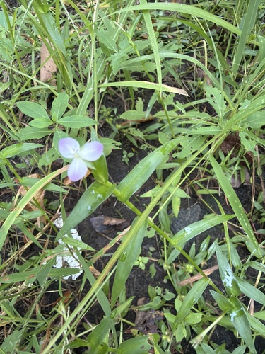
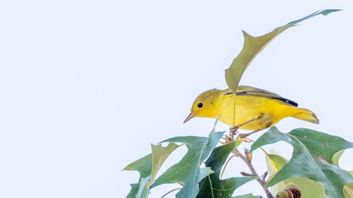
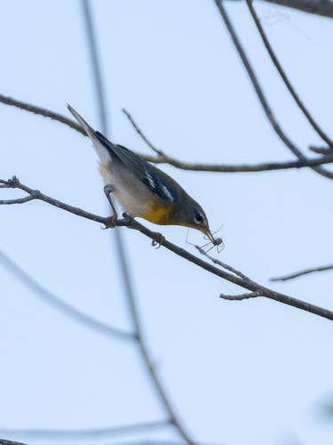
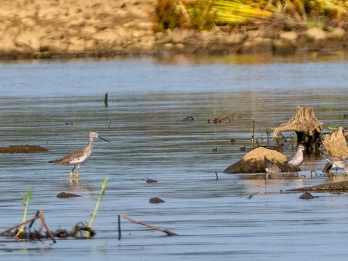
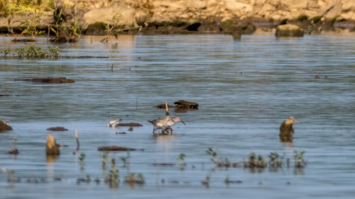
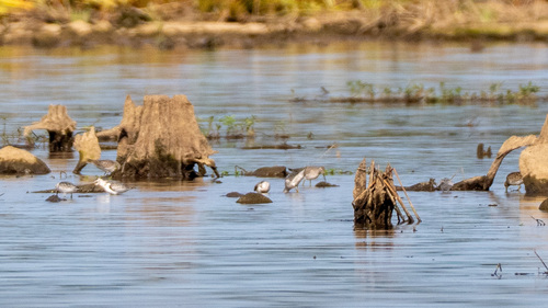
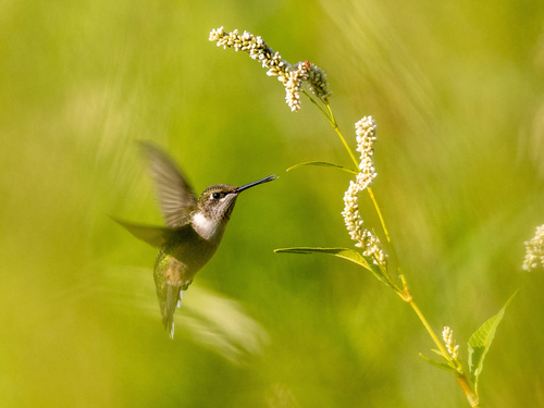
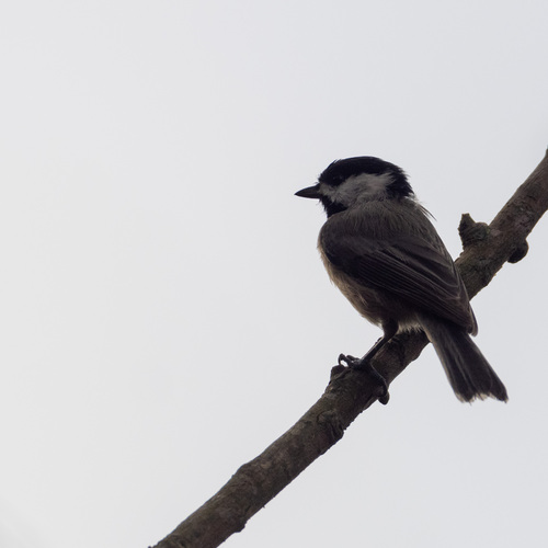
Research-grade observations from iNaturalist (within ~15 mi).
Nearest stream gauge
Events
Gallery
Sources
- • Wikipedia
- • US Census Bureau (ACS 5-year estimates)
- • NOAA National Weather Service
- • Wikidata
- • NCES via Urban Institute Education Data Portal
- • iNaturalist
- • CDC PLACES
- • Open-Meteo / sunrise-sunset.org
- • Wikipedia Pageviews API
- • Open Library