Browse / United States / North Carolina / Roxboro
Roxboro
North Carolinacity

Roxboro
Total population
8,182
Median home value
$157,700
Bachelor's+
Median income
$36,553
Founded
1855
Air quality index
Demographic figures from US Census Bureau · ACS 5-year estimates. Overview below cites Wikipedia and may reference a different year.
City facts
Facts from Wikidata (CC0).
Overview
Roxboro is a city in and the county seat of Person County in the U.S. state of North Carolina. The population was 8,134 at the 2020 census. The city is 30 miles (48 km) north of Durham and is a part of the four-county Durham–Chapel Hill Metropolitan Statistical Area, which has a population of 649,903 as of the 2020 Census. The Durham–Chapel Hill MSA is a part of the larger Raleigh–Durham–Cary Combined Statistical Area, which has a population of 2,043,867 as of the 2020 Census.
Read more on WikipediaHistory & geography
History
Roxboro is named after a town in Scotland, Roxburgh. Although spelled differently, they are pronounced the same. Prior to the official adoption of the name Roxboro, the community was known as "Mocassin Gap". The city of Roxboro was incorporated on January 9, 1855, and remains the only municipality in Person County. The Holloway-Jones-Day House, House on Wagstaff Farm, James A. and Laura Thompson Long House, Merritt-Winstead House, Person County Courthouse, Roxboro Commercial Historic District, Roxboro Cotton Mill, and Roxboro Male Academy and Methodist Parsonage are listed on the National Register of Historic Places. The Governor William W. and Musette Satterfield Kitchin House is the main building of the Person County Museum of History. On July 7, 1920, Red Roach was lynched in downtown Roxboro. On August 15, 1941, a mob of 500 attempted to lynch Cy Winstead, a 22-year-old Black man, who was accused of raping a white woman and was being held at the Person County court house. The mob was held off with tear gas by local authorities led by Sheriff M. T. Clayton until Winstead could be safely transferred to the state prison in Raleigh. No injuries were reported. Ten men were indicted for the attempted lynching on October 16, 1941, on inciting to riot and "unlawful assembly for unlawful purpose". To local shock, five of the men were found guilty. A jury acquitted them of the more serious charge of inciting to riot, but found them guilty of unlawful assembly. They received prison terms ranging from 12 to 18 months. Winstead himself later pleaded guilty to assault with intent to commit rape and was sentenced to two and a half years to five years in prison.
Geography
According to the United States Census Bureau, the city has a total area of , of which is land and 0.16% is water. Roxboro has a moderate subtropical climate, with mild weather in the spring, fall, and winter. However, summers can be hot and humid. Winter temperatures generally range from highs in the low 50s°F (10-13 °C) to lows in the upper 20s-mid 30s°F (-2 to 2 °C), though degree weather is not uncommon. The record low was -9 °F in January 1985. Spring and fall days are usually in the low to mid 70s°F (low 20s°C), with nights in the 50s°F (10-14 °C). Summer days are often in the upper 80s and low 90s °F (30-35 °C,) with very high humidity. The record high was 104 °F in July 1966. The rainiest months are July and September. Roxboro receives an average of of snow per winter. Freezing rain and sleet occur most winters, and occasionally the area experiences a major, damaging ice storm. Roxboro is often dubbed the "Snow Capital of the Triangle" because it often receives the most snow during snowstorms in central North Carolina due to its high elevation.
Excerpted from the corresponding Wikipedia article (CC BY-SA).
Demographics & economy
Race & ethnicity
Source: US Census Bureau — American Community Survey, 5-year estimates.
Geography
Coordinates & boundaries from the US Census TIGER/Line shapefiles.
Climate
Current forecast
Forecast for Roxboro, NC from NOAA NWS API.
Air quality
Current readings from Open-Meteo Air Quality API (Copernicus CAMS European reanalysis).
Industrial & pollution facilities
Natural hazard risk
Health (adults)
Age-adjusted prevalence estimates from CDC PLACES (latest release).
Walkability
Amenities nearby
Wildlife & biodiversity
Most-observed species
- American CrowCorvus brachyrhynchos C.L.Brehm, 1822 · Aves2,867
- Carolina WrenThryothorus ludovicianus (Latham, 1790) · Aves2,739
- Northern CardinalCardinalis cardinalis (Linnaeus, 1758) · Aves2,661
- Mourning DoveZenaida macroura (Linnaeus, 1758) · Aves2,409
- Tufted TitmouseBaeolophus bicolor (Linnaeus, 1766) · Aves2,374
- Eastern BluebirdSialia sialis (Linnaeus, 1758) · Aves2,211
- Carolina ChickadeePoecile carolinensis (Audubon, 1834) · Aves2,050
- Red-bellied WoodpeckerMelanerpes carolinus (Linnaeus, 1758) · Aves1,781
Citizen-science & research observations from the Global Biodiversity Information Facility (GBIF).
Schools
Largest nearby schools
- Person HighHigh · Roxboro · 1,079 students · 18.6:1 ratio
- Roxboro Community SchoolHigh · Roxboro · 688 students · 14.6:1 ratio
- Helena ElementaryElementary · Timberlake · 523 students · 15.8:1 ratio
- Southern MiddleMiddle · Roxboro · 514 students · 15.6:1 ratio
- Northern MiddleMiddle · Roxboro · 462 students · 17.1:1 ratio
- South ElementaryElementary · Roxboro · 430 students · 14.3:1 ratio
- Stories Creek ElementaryElementary · Roxboro · 365 students · 13:1 ratio
- Bethel Hill CharterElementary · Roxboro · 356 students · 13.7:1 ratio
Public K–12 schools within ~10 mi from Urban Institute Education Data Portal (NCES Common Core of Data, 2022).
Earthquake history
Photos
Sights & places nearby
Notable people from here


People born within ~10 km, from Wikidata (CC0). Click any name for their Wikipedia article.
Nearby places in North Carolina
Geography & sun
Elevation, sunrise/sunset and daylight from Open-Meteo. Solar climatology from NASA POWER.
Nearby airports
Public attention
Pageview totals from the Wikimedia Pageviews API.
Books about Roxboro


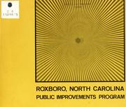


Search results from Open Library.
Recent natural events nearby
Ground air-quality sensors
Recently spotted species
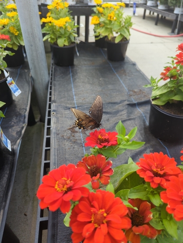
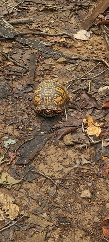
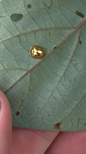
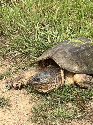
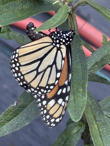
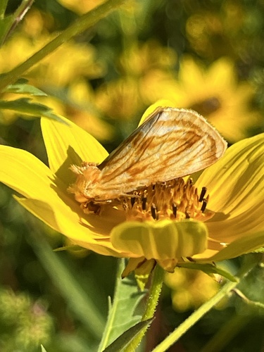
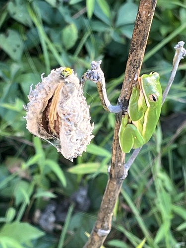
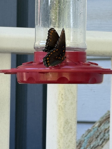
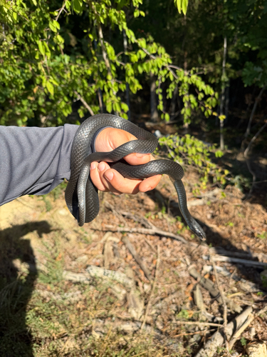
Research-grade observations from iNaturalist (within ~15 mi).
Nearest stream gauge
Events
Gallery
Sources
- • Wikipedia
- • US Census Bureau (ACS 5-year estimates)
- • NOAA National Weather Service
- • Wikidata
- • Open-Meteo Air Quality (CAMS)
- • NCES via Urban Institute Education Data Portal
- • GBIF (Global Biodiversity Information Facility)
- • iNaturalist
- • CDC PLACES
- • Open-Meteo / sunrise-sunset.org
- • Wikipedia Pageviews API
- • Open Library