Browse / United States / North Carolina / Ocracoke
Ocracoke
North CarolinaCDP
Total population
723
Median home value
$456,200
Bachelor's+
Median income
$77,583
Demographic figures from US Census Bureau · ACS 5-year estimates. Overview below cites Wikipedia and may reference a different year.
City facts
Overview
Set in North Carolina, United States, Ocracoke is recorded in open geodata as a small census-designated community. The population stands at approximately 723. Coordinates of 35.073°, -75.999° situate Ocracoke in the warm-temperate zone of the northern hemisphere. Based on its warm temperate position, residents likely encounter warm summers and cool winters. The census-designated community extends across about 22.3 km². Resident density is around 32 per km², indicating thinly distributed across its territory. Open solar datasets indicate about 1,587 kWh/m² of solar irradiance per year, combined with sunshine for roughly 62% of daylight hours. The sections below expand on demographics, weather, terrain, hazards and nearby points of interest using publicly available datasets.
Summary composed automatically from structured open data on this page. See our Terms for details.
History & geography
Demographics & economy
Race & ethnicity
Source: US Census Bureau — American Community Survey, 5-year estimates.
Geography
Coordinates & boundaries from the US Census TIGER/Line shapefiles.
Climate
Current forecast
Forecast for Ocracoke, NC from NOAA NWS API.
Air quality
Industrial & pollution facilities
Natural hazard risk
Health (adults)
Walkability
Amenities nearby
Wildlife & biodiversity
Most-observed species
- Laughing GullLeucophaeus atricilla (Linnaeus, 1758) · Aves1,645
- Brown PelicanPelecanus occidentalis Linnaeus, 1766 · Aves1,504
- Royal TernThalasseus maximus (Boddaert, 1783) · Aves1,145
- Northern MockingbirdMimus polyglottos (Linnaeus, 1758) · Aves1,129
- American herring gull, Smithsonian GullLarus smithsonianus Coues, 1862 · Aves1,058
- Double-crested CormorantPhalacrocorax auritus (Lesson, 1831) · Aves960
- WilletTringa semipalmata (J.F.Gmelin, 1789) · Aves914
- Great Black-backed GullLarus marinus Linnaeus, 1758 · Aves884
Citizen-science & research observations from the Global Biodiversity Information Facility (GBIF).
Schools
Earthquake history
Most recent
- M 2.9 — 2014-02-117 km NW of Hobucken, North Carolina
Events from the USGS Earthquake Catalog (global) (FDSN Event Web Service).
Photos
Sights & places nearby
Notable people from here

People born within ~10 km, from Wikidata (CC0). Click any name for their Wikipedia article.
Nearby places in North Carolina
- Hatteras20.3 mi away · pop. 152
- Frisco25.6 mi away · pop. 664
- Swan Quarter29.7 mi away · pop. 458
- Mesic37.7 mi away · pop. 205
- Marshallberg37.8 mi away
- Oriental38.7 mi away
- Harkers Island40.8 mi away
- Stonewall42.2 mi away
- Salvo44.4 mi away · pop. 220
- Arapahoe46.9 mi away
- Morehead City48.3 mi away · pop. 9,806
- Pantego51.5 mi away
Geography & sun
Elevation, sunrise/sunset and daylight from Open-Meteo. Solar climatology from NASA POWER.
Nearby airports
Public attention
Pageview totals from the Wikimedia Pageviews API.
Books about Ocracoke

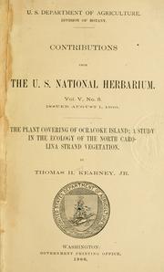


Search results from Open Library.
Recent natural events nearby
Ground air-quality sensors
Recently spotted species
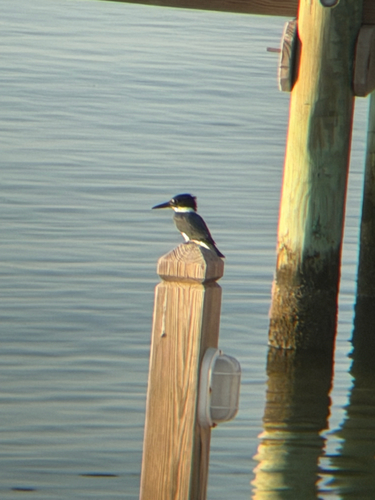
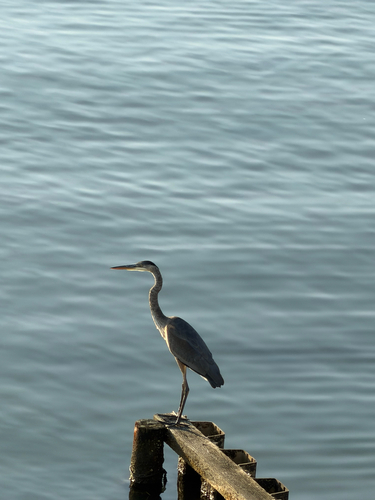
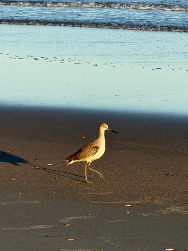
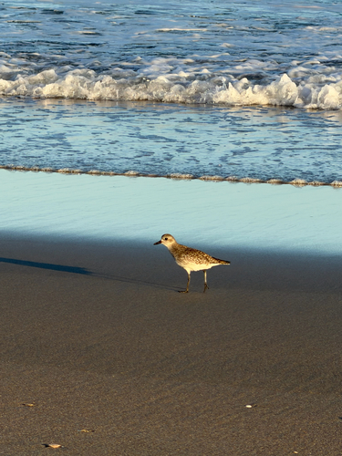
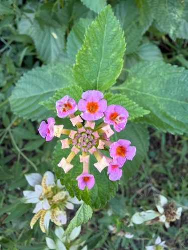
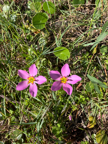
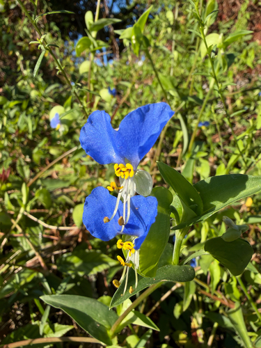
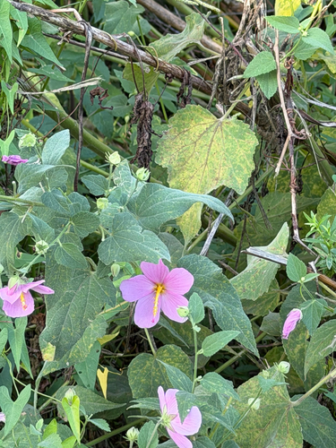
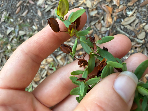
Research-grade observations from iNaturalist (within ~15 mi).
Nearest stream gauge
Events
Gallery
Sources
- • US Census Bureau (ACS 5-year estimates)
- • NOAA National Weather Service
- • Wikidata
- • USGS Earthquake Catalog (global feed)
- • GBIF (Global Biodiversity Information Facility)
- • iNaturalist
- • Open-Meteo / sunrise-sunset.org
- • Wikipedia Pageviews API
- • Open Library