Browse / United States / North Carolina / Rosman
Rosman
North Carolinatown

Rosman
Total population
699
Median home value
$213,200
Bachelor's+
Median income
$53,626
Demographic figures from US Census Bureau · ACS 5-year estimates. Overview below cites Wikipedia and may reference a different year.
City facts
Facts from Wikidata (CC0).
Overview
Rosman is a town in Transylvania County, North Carolina, United States. As of the 2020 census, Rosman had a population of 701. The northern terminus of U.S. Route 178 is less than one mile northwest of Rosman on U.S. Route 64.
Read more on WikipediaHistory & geography
History
Known first by European Americans as Jeptha, the settlement was known as "Toxaway" in the early 20th century. Because this caused confusion with the nearby resort town of Lake Toxaway (10 miles to the west), in 1903 the name was changed to "Eastatoe," the name of a historic Cherokee town in the area. It was also the name for nearby Eastatoe Gap and Eastatoe Falls. The Cherokee word for the Carolina parakeet was eastatoe. Town residents promoted another change, and Joseph Silversteen (a local industrialist) suggested Rosman in 1905, after two of his business associates, Joseph Rosenthal and Morris Osmansky. This was approved.
Geography
According to the United States Census Bureau, the town has a total area of , all land. Within the town limits of Rosman and to the south of the town limits, U.S. Route 178 is called Pickens Highway, referring to Pickens, South Carolina. South of Rosman, the highway continues across mountainous terrain through a series of switchback curves into South Carolina, eventually reaching Pickens. Rosman sits on the eastern boundary of Pisgah National Forest. The French Broad River runs through the town of Rosman. The river's origin, where the North Fork French Broad and the West Fork French Broad converge to form the river proper, lies just west of the town. A USGS stream gauge station, number 03439000, is located on the French Broad River in Rosman. The climate is very wet, with a mean annual rainfall since 1936 of —one of the highest in the US east of the Cascades. The record annual rainfall of in 1964 is the second heaviest for a calendar year within this region, only behind Mount Washington’s record from 1969.
Excerpted from the corresponding Wikipedia article (CC BY-SA).
Demographics & economy
Race & ethnicity
Source: US Census Bureau — American Community Survey, 5-year estimates.
Geography
Coordinates & boundaries from the US Census TIGER/Line shapefiles.
Climate
Current forecast
Forecast for Rosman, NC from NOAA NWS API.
Air quality
Industrial & pollution facilities
Natural hazard risk
Health (adults)
Age-adjusted prevalence estimates from CDC PLACES (latest release).
Walkability
Amenities nearby
Wildlife & biodiversity
Most-observed species
- American CrowCorvus brachyrhynchos C.L.Brehm, 1822 · Aves10,682
- Northern CardinalCardinalis cardinalis (Linnaeus, 1758) · Aves10,263
- Carolina WrenThryothorus ludovicianus (Latham, 1790) · Aves9,401
- Carolina ChickadeePoecile carolinensis (Audubon, 1834) · Aves9,375
- Tufted TitmouseBaeolophus bicolor (Linnaeus, 1766) · Aves9,252
- Eastern TowheePipilo erythrophthalmus (Linnaeus, 1758) · Aves9,102
- Blue JayCyanocitta cristata (Linnaeus, 1758) · Aves7,193
- Song SparrowMelospiza melodia (A.Wilson, 1810) · Aves6,641
Citizen-science & research observations from the Global Biodiversity Information Facility (GBIF).
Schools
Largest nearby schools
- Brevard HighHigh · Brevard · 751 students · 13.2:1 ratio
- Brevard ElementaryElementary · Brevard · 544 students · 12.1:1 ratio
- Brevard MiddleMiddle · Brevard · 535 students · 11.4:1 ratio
- Rosman ElementaryElementary · Rosman · 347 students · 13.3:1 ratio
- Rosman HighHigh · Rosman · 264 students · 9.8:1 ratio
- Rosman MiddleMiddle · Rosman · 209 students · 11:1 ratio
- T C HendersonElementary · Lake Toxaway · 125 students · 10.4:1 ratio
Public K–12 schools within ~10 mi from Urban Institute Education Data Portal (NCES Common Core of Data, 2022).
Earthquake history
Most recent
- M 2.65 — 2026-03-2410 km SSW of Dillsboro, North Carolina
- M 2.73 — 2025-08-147 km N of Columbus, North Carolina
- M 2.51 — 2023-11-047 km WSW of Bryson City, North Carolina
- M 3.24 — 2023-06-044 km NNW of West Canton, North Carolina
- M 2.76 — 2023-05-234 km N of West Canton, North Carolina
- M 2.69 — 2022-12-080 km S of Laurel Park, North Carolina
Events from the USGS Earthquake Catalog (global) (FDSN Event Web Service).
Photos
Sights & places nearby
Notable people from here
People born within ~10 km, from Wikidata (CC0). Click any name for their Wikipedia article.
Nearby places in North Carolina
- Cashiers15.9 mi away
- Horse Shoe19.4 mi away · pop. 1,490
- Laurel Park21.2 mi away · pop. 2,408
- Flat Rock22.4 mi away · pop. 3,530
- Cullowhee23.3 mi away
- Balfour23.5 mi away · pop. 1,134
- East Flat Rock24.6 mi away · pop. 6,323
- Waynesville25.6 mi away · pop. 10,502
- Avery Creek26.1 mi away
- Canton27.2 mi away · pop. 4,419
- Lake Junaluska27.9 mi away
- Dillsboro28.9 mi away · pop. 195
Geography & sun
Elevation, sunrise/sunset and daylight from Open-Meteo. Solar climatology from NASA POWER.
Nearby airports
Public attention
Pageview totals from the Wikimedia Pageviews API.
Books about Rosman
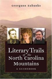
Search results from Open Library.
Recent natural events nearby
- Wildfire Main Trail, Chatham, GeorgiaWildfires · 2026-08-14 · 250 mi
Wildfires, storms and other events from NASA EONET (last 12 months, within 250 mi).
Ground air-quality sensors
Recently spotted species
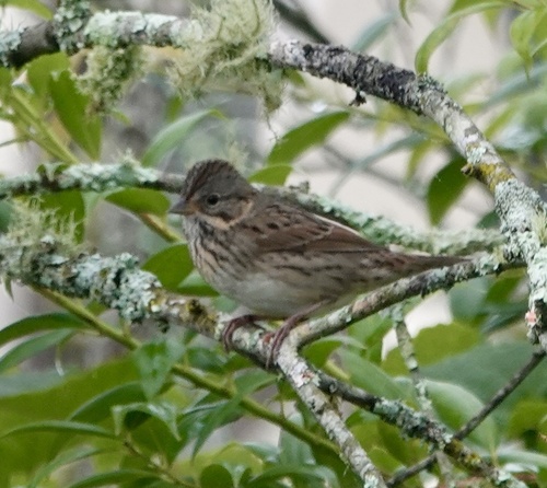

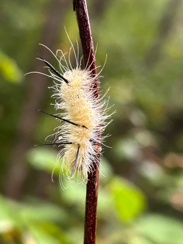
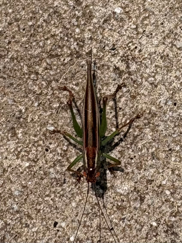

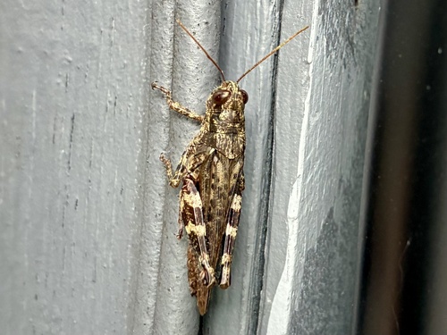
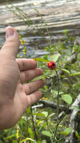

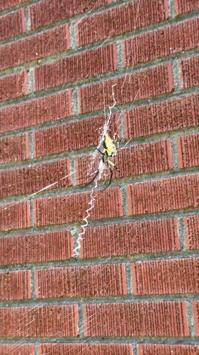
Research-grade observations from iNaturalist (within ~15 mi).
Nearest stream gauge
Events
Gallery
Sources
- • Wikipedia
- • US Census Bureau (ACS 5-year estimates)
- • NOAA National Weather Service
- • Wikidata
- • USGS Earthquake Catalog (global feed)
- • NCES via Urban Institute Education Data Portal
- • GBIF (Global Biodiversity Information Facility)
- • iNaturalist
- • CDC PLACES
- • Open-Meteo / sunrise-sunset.org
- • Wikipedia Pageviews API
- • Open Library
- • NASA EONET