Browse / United States / North Carolina / West Canton
West Canton
North CarolinaCDP

West Canton
Total population
1,412
Median home value
$197,000
Bachelor's+
Median income
$34,464
Demographic figures from US Census Bureau · ACS 5-year estimates. Overview below cites Wikipedia and may reference a different year.
City facts
Facts from Wikidata (CC0).
Overview
West Canton is an unincorporated community and census-designated place (CDP) in Haywood County, North Carolina, United States. As of the 2020 census, West Canton had a population of 1,265. It is part of the Asheville Metropolitan Statistical Area.
Read more on WikipediaHistory & geography
History
Prior to European colonization, the area that is now West Canton was inhabited by the Cherokee people and other Indigenous peoples for thousands of years. The Cherokee in Western North Carolina are known as the Eastern Band of Cherokee Indians, a federally recognized tribe.
Geography
West Canton is located in east-central Haywood County. It is bordered to the east by the town of Canton. U.S. Routes 19 and 23 form the southern boundary of the CDP. The combined highway leads west to Lake Junaluska and east through Canton to Asheville. Waynesville, the Haywood county seat, is to the southwest via US-23. According to the United States Census Bureau, the West Canton CDP has a total area of , all land. The Pigeon River, a west-flowing stream that is part of the Tennessee River basin, forms the northern edge of the CDP.
Excerpted from the corresponding Wikipedia article (CC BY-SA).
Demographics & economy
Race & ethnicity
Source: US Census Bureau — American Community Survey, 5-year estimates.
Geography
Coordinates & boundaries from the US Census TIGER/Line shapefiles.
Climate
Current forecast
Forecast for West Canton, NC from NOAA NWS API.
Air quality
Industrial & pollution facilities
Natural hazard risk
Health (adults)
Age-adjusted prevalence estimates from CDC PLACES (latest release).
Walkability
Amenities nearby
Wildlife & biodiversity
Schools
Largest nearby schools
- Pisgah HighHigh · Canton · 927 students · 16.3:1 ratio
- Tuscola HighHigh · Waynesville · 917 students · 15.8:1 ratio
- Waynesville MiddleMiddle · Waynesville · 720 students · 15:1 ratio
- Shining Rock Classical AcademyOther · Waynesville · 604 students · 12.9:1 ratio
- Bethel ElementaryElementary · Canton · 526 students · 14.6:1 ratio
- Clyde ElementaryElementary · Clyde · 526 students · 12.8:1 ratio
- Hazelwood ElementaryElementary · Waynesville · 492 students · 14.1:1 ratio
- Canton MiddleMiddle · Canton · 449 students · 13.6:1 ratio
Public K–12 schools within ~10 mi from Urban Institute Education Data Portal (NCES Common Core of Data, 2022).
Earthquake history
Photos
Sights & places nearby
Notable people from here


People born within ~10 km, from Wikidata (CC0). Click any name for their Wikipedia article.
Nearby places in North Carolina
- Canton1 mi away · pop. 4,419
- Lake Junaluska6 mi away · pop. 3,175
- Waynesville8.3 mi away · pop. 10,502
- Maggie Valley11 mi away
- Avery Creek17.4 mi away
- Biltmore Forest18.5 mi away · pop. 1,587
- Royal Pines20.9 mi away · pop. 4,325
- Horse Shoe22.3 mi away · pop. 1,490
- Cullowhee23.7 mi away
- Dillsboro24.6 mi away · pop. 195
- Hot Springs24.6 mi away · pop. 567
- Cherokee24.7 mi away · pop. 2,059
Geography & sun
Elevation, sunrise/sunset and daylight from Open-Meteo. Solar climatology from NASA POWER.
Nearby airports
Public attention
Pageview totals from the Wikimedia Pageviews API.
Books about West Canton


Search results from Open Library.
Recent natural events nearby
- Hurricane IsaiasSevere Storms · 2026-10-11 · 149 mi
Wildfires, storms and other events from NASA EONET (last 12 months, within 250 mi).
Ground air-quality sensors
Recently spotted species
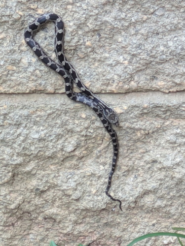
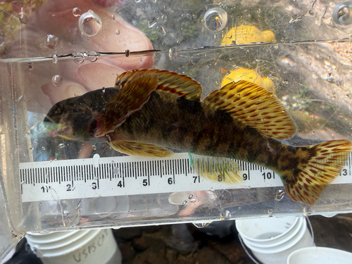
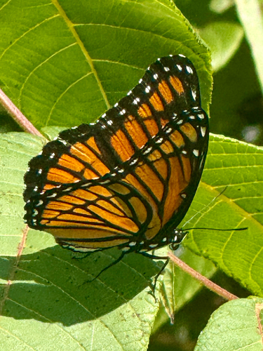
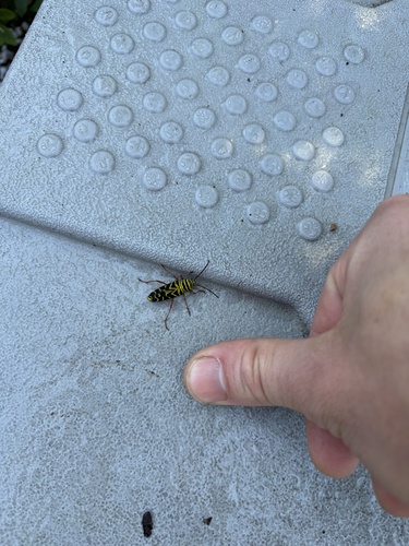
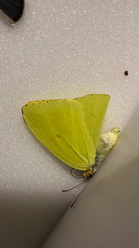
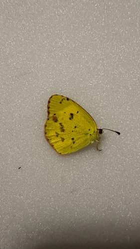
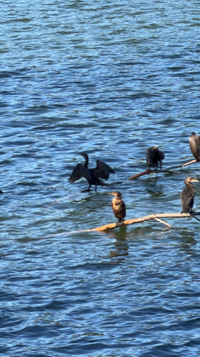
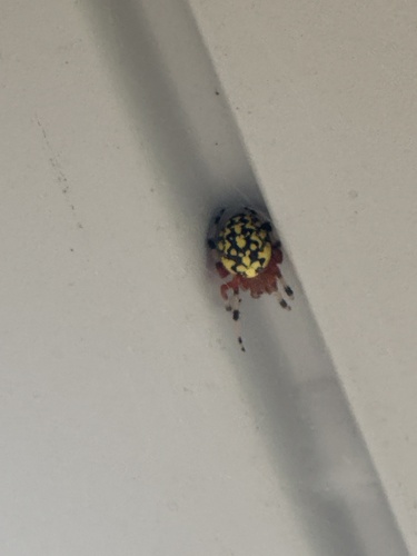
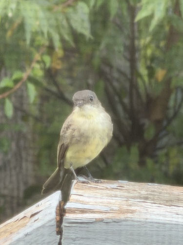
Research-grade observations from iNaturalist (within ~15 mi).
Nearest stream gauge
Events
Gallery
Sources
- • Wikipedia
- • US Census Bureau (ACS 5-year estimates)
- • NOAA National Weather Service
- • Wikidata
- • NCES via Urban Institute Education Data Portal
- • iNaturalist
- • CDC PLACES
- • Open-Meteo / sunrise-sunset.org
- • Wikipedia Pageviews API
- • Open Library
- • NASA EONET