Browse / United States / North Dakota / Burlington
Burlington
North Dakotacity

Burlington
Total population
1,067
Median home value
$243,500
Bachelor's+
Median income
$77,708
Founded
1883
Demographic figures from US Census Bureau · ACS 5-year estimates. Overview below cites Wikipedia and may reference a different year.
- Special Weather Statement · ModerateSpecial Weather Statement issued September 17 at 2:44AM CDT by NWS Bismarck ND
Source: NOAA National Weather Service.
City facts
Facts from Wikidata (CC0).
Overview
Burlington is a city in Ward County, North Dakota, United States. It was founded in 1883, the third in a series that included two earlier settlements. Despite this, Burlington is still the oldest city in Ward County, as well as north-western and north central North Dakota. On February 28, 1884, as it was the only city in the then-newly formed Imperial Ward County, it was made the county seat, a position it held until 1888. The population was 1,291 at the 2020 census. Burlington is part of the Minot metropolitan area.
Read more on WikipediaHistory & geography
History
Burlington and its former settlements were founded by James Johnson and James Colton (the men who also settled Larimore, North Dakota) in Dakota Territory in the late 1870s. Earlier settlements were The Forks, and later Colton (named after James Colton), which are considered forerunners of the city. Its current name was given to it by Johnson during the creation of the post office, and was the name of his hometown of Burlington, Iowa. "The Forks" was used as a name for Burlington, alluding to its geographic location at the confluence of the Des Lacs and Mouse Rivers. In the early 1890s, the Burlington Reporter became the first newspaper in western North Dakota. It would in the future be renamed to the Minot Daily News. In 1997, Raymond Kuntz from Burlington testified before the United States Senate that he believed his son, Richard, committed suicide due to the influence of the band Marilyn Manson. On January 18, 2002, a severe train derailment east of the city sent a gigantic cloud of anhydrous ammonia toward Minot and Burlington. Power to Burlington, Des Lacs, and Berthold was knocked out due to damage to poles near the derailment site. The power company serving these towns built a temporary connection to a neighboring electric cooperative's system to provide limited power until the site was sufficiently cleaned up to permit permanent repairs to be completed. Residents were unable to access radios or televisions due to this, although messages went out advising people to stay inside. One man died and many of the area's citizens were sickened by the noxious gas. The incident was one of the more major chemical spills in the country. In early 2006, court cases were heard in Minneapolis, Minnesota, against Canadian Pacific Railway, the owner and operator of the…
Geography
Burlington is located on the Drift Prairie of north central North Dakota directly next to the confluence of the Des Lacs and the Mouse Rivers, in Burlington Township, North Dakota, and Kirkelie Township, North Dakota. According to the United States Census Bureau, the city has a total area of , all land. This climatic region is typified by large seasonal temperature differences, with warm to hot (and often humid) summers and cold (sometimes severely cold) winters. According to the Köppen Climate Classification system, Burlington has a humid continental climate, abbreviated "Dfb" on climate maps.
Excerpted from the corresponding Wikipedia article (CC BY-SA).
Demographics & economy
Race & ethnicity
Source: US Census Bureau — American Community Survey, 5-year estimates.
Geography
Coordinates & boundaries from the US Census TIGER/Line shapefiles.
Climate
Current forecast
Forecast for Burlington, ND from NOAA NWS API.
Air quality
Industrial & pollution facilities
Natural hazard risk
Health (adults)
Age-adjusted prevalence estimates from CDC PLACES (latest release).
Walkability
Amenities nearby
Wildlife & biodiversity
Schools
Largest nearby schools
- CENTRAL CAMPUS SCHOOLOther · Minot · 1,085 students · 14.3:1 ratio
- MAGIC CITY CAMPUS HIGH SCHOOLHigh · Minot · 933 students · 15.8:1 ratio
- JIM HILL MIDDLE SCHOOLMiddle · Minot · 840 students · 14.2:1 ratio
- ERIK RAMSTAD MIDDLE SCHOOLMiddle · Minot · 689 students · 14.7:1 ratio
- LEWIS AND CLARK ELEMENTARY SCHOOLElementary · Minot · 528 students · 14.3:1 ratio
- EDISON ELEMENTARY SCHOOLElementary · Minot · 461 students · 18.4:1 ratio
- JOHN HOEVEN ELEMENTARY SCHOOLElementary · Minot · 433 students · 16:1 ratio
- LONGFELLOW ELEMENTARY SCHOOLElementary · Minot · 412 students · 13.3:1 ratio
Public K–12 schools within ~10 mi from Urban Institute Education Data Portal (NCES Common Core of Data, 2022).
Earthquake history
Photos
Sights & places nearby
Notable people from here


People born within ~10 km, from Wikidata (CC0). Click any name for their Wikipedia article.
Nearby places in North Dakota
Geography & sun
Elevation, sunrise/sunset and daylight from Open-Meteo. Solar climatology from NASA POWER.
Nearby airports
Public attention
Pageview totals from the Wikimedia Pageviews API.
Books about Burlington

Search results from Open Library.
Recent natural events nearby
- Wildfire Ayers Pond, Prairie, MontanaWildfires · 2026-09-03 · 194 mi
- Incident Complex Rattlesnake Complex, Prairie, MontanaWildfires · 2026-09-04 · 201 mi
- Wildfire Snow, Custer, MontanaWildfires · 2026-09-02 · 215 mi
Wildfires, storms and other events from NASA EONET (last 12 months, within 250 mi).
Ground air-quality sensors
Recently spotted species
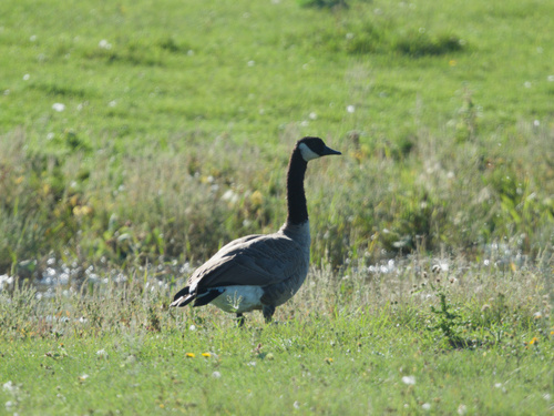
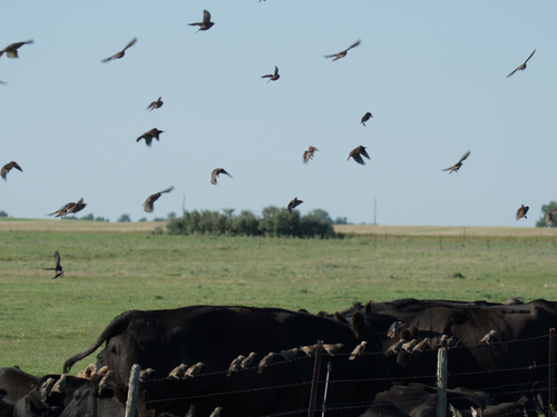
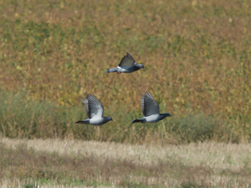
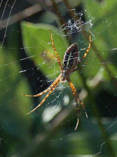
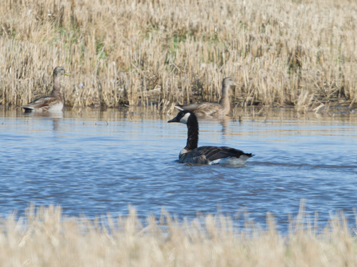
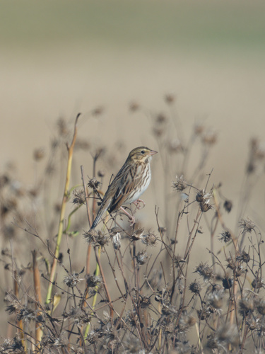
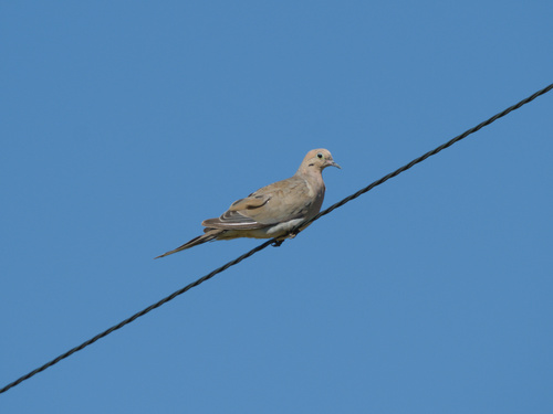
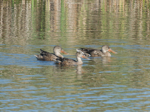
Research-grade observations from iNaturalist (within ~15 mi).
Nearest stream gauge
Live readings from USGS NWIS · measured 2026-10-14 02:15 UTC.
Events
Gallery
Sources
- • Wikipedia
- • US Census Bureau (ACS 5-year estimates)
- • NOAA National Weather Service
- • Wikidata
- • USGS NWIS (water data)
- • NCES via Urban Institute Education Data Portal
- • iNaturalist
- • CDC PLACES
- • Open-Meteo / sunrise-sunset.org
- • Wikipedia Pageviews API
- • Open Library
- • NASA EONET