Browse / United States / North Dakota / Minot
Minot
North Dakotacity

Minot
Total population
47,791
Median home value
$257,100
Bachelor's+
Median income
$73,219
Founded
1886
Demographic figures from US Census Bureau · ACS 5-year estimates. Overview below cites Wikipedia and may reference a different year.
City facts
Facts from Wikidata (CC0).
Overview
Minot is a city in and the county seat of Ward County, North Dakota, United States. With a population of 48,377 at the 2020 census, Minot is the state's fourth-most populous city. The Minot metropolitan area in north-central North Dakota covers McHenry, Renville, and Ward counties and had a combined population of 77,546 at the 2020 census.
Read more on WikipediaHistory & geography
History
Minot came into existence in 1886, after the Great Northern Railway laid track through the area. A tent town sprang up overnight, as if by "magic", giving Minot its first nickname, the Magic City; in the next five months, the population increased to over 5,000, further bolstering the nickname. The town site was chosen by the railroad to be placed on the land of homesteader Erik Ramstad, who was convinced to relinquish his claim and became one of the city leaders. The town was named after Henry Minot (1859–1890), a Great Northern investor, ornithologist, and friend of Hill. Its Arikara name is niwaharít sahaáhkat, and its Hidatsa name is maagada'ashish ("Plum Coulee"). The city was incorporated on July 16, 1887. The Minneapolis, St. Paul and Sault Ste. Marie Railroad (Soo Line) later built a line from Valley City to Canada. While initially their plan was to cross the Souris River at Burlington, local interests and arguments convinced them otherwise; landholders along the new route donated the right-of-way, and the Soo Line reached Minot in 1893. In 1898, a tornado destroyed the timber Gassman Coulee Bridge near Minot. A passenger train, just three minutes away from crossing the bridge when it collapsed, was able to stop just in time to avoid disaster. The tornado picked up Andy Botz's home and hurled it to the ground, killing his wife, breaking Botz's shoulder, and slightly injuring the two Botz children who were in the house. The 1950s saw a large influx of federal funding into the region, with the construction of Minot Air Force Base (1956–1957) north of the city, and Garrison Dam (1947–1953) on the Missouri River, about south. In 1969, a severe flood on the Souris River devastated Minot in April. Afterward, the Army Corps of Engineers straightened the…
Geography
According to the United States Census Bureau, the city has an area of , of which is land and is water. The elevation of the river at the city center is approximately above sea level. The valley sits below the surrounding plains; the elevation at the Minot International Airport on North Hill is . The city has several small horseshoe-shaped oxbow lakes within its limits near the river, created by the Mouse's meandering course. The population of Richardson's ground squirrels is extremely high in the inner-city area where there are fewer predators to hunt them. This has been known to cause issues with the squirrels tearing up fields with their tunneling, and causing minor property damage by hollowing out areas beneath structures. Minot is commonly divided into three major sections: North Hill, the Mouse River Valley and South Hill. North Hill is the area roughly north of Eleventh Avenue North and Northwest Avenue. South Hill is a broad area south and west of Valley Street and Fifth Avenue South. West of Sixth Street West, South Hill dips sharply to the southwest. South Hill's limits are less clearly defined than North Hill's. Though the neighborhood levels out past 16th Street South, the name South Hill is generally applied to all areas south up to the city limits. Neighborhoods in the Mouse River Valley include Bel Air, Downtown, Eastwood Park, Oak Park and West Minot. The city is laid out on a grid-based street system. Streets run north–south and avenues run east–west. Streets are numbered by their block distance east or west of Main Street. Avenues are numbered north and south of Central Avenue. There are four city quadrants (NW, SW, SE, NE) to designate the location of any address. Main Street addresses are designated North and South. Central Avenue addresses…
Excerpted from the corresponding Wikipedia article (CC BY-SA).
Demographics & economy
Race & ethnicity
Source: US Census Bureau — American Community Survey, 5-year estimates.
Geography
Coordinates & boundaries from the US Census TIGER/Line shapefiles.
Climate
Current forecast
Forecast for Minot, ND from NOAA NWS API.
Air quality
Industrial & pollution facilities
Natural hazard risk
Health (adults)
Age-adjusted prevalence estimates from CDC PLACES (latest release).
Walkability
Amenities nearby
Wildlife & biodiversity
Most-observed species
- American RobinTurdus migratorius Linnaeus, 1766 · Aves787
- Canada Goose (canadensis Group)Branta canadensis (Linnaeus, 1758) · Aves783
- Black-capped ChickadeePoecile atricapillus (Linnaeus, 1766) · Aves739
- Common GrackleQuiscalus quiscula (Linnaeus, 1758) · Aves609
- MallardAnas platyrhynchos Linnaeus, 1758 · Aves597
- American CrowCorvus brachyrhynchos C.L.Brehm, 1822 · Aves539
- House SparrowPasser domesticus (Linnaeus, 1758) · Aves516
- White-breasted NuthatchSitta carolinensis Latham, 1790 · Aves479
Citizen-science & research observations from the Global Biodiversity Information Facility (GBIF).
Schools
Largest nearby schools
- CENTRAL CAMPUS SCHOOLOther · Minot · 1,085 students · 14.3:1 ratio
- MAGIC CITY CAMPUS HIGH SCHOOLHigh · Minot · 933 students · 15.8:1 ratio
- JIM HILL MIDDLE SCHOOLMiddle · Minot · 840 students · 14.2:1 ratio
- ERIK RAMSTAD MIDDLE SCHOOLMiddle · Minot · 689 students · 14.7:1 ratio
- LEWIS AND CLARK ELEMENTARY SCHOOLElementary · Minot · 528 students · 14.3:1 ratio
- EDISON ELEMENTARY SCHOOLElementary · Minot · 461 students · 18.4:1 ratio
- JOHN HOEVEN ELEMENTARY SCHOOLElementary · Minot · 433 students · 16:1 ratio
- LONGFELLOW ELEMENTARY SCHOOLElementary · Minot · 412 students · 13.3:1 ratio
Public K–12 schools within ~10 mi from Urban Institute Education Data Portal (NCES Common Core of Data, 2022).
Earthquake history
Events from the USGS Earthquake Catalog (global) (FDSN Event Web Service).
Photos
Sights & places nearby
Notable people from here


People born within ~10 km, from Wikidata (CC0). Click any name for their Wikipedia article.
Nearby places in North Dakota
- Burlington6.5 mi away · pop. 1,067
- Surrey6.9 mi away · pop. 1,721
- Logan7.1 mi away · pop. 70
- Ruthville9.4 mi away · pop. 104
- Minot AFB12.9 mi away
- Des Lacs13.2 mi away
- Sawyer14.5 mi away · pop. 353
- Deering15.2 mi away · pop. 68
- Foxholm16.2 mi away · pop. 34
- Glenburn19.3 mi away
- Granville20 mi away · pop. 278
- Velva20.1 mi away · pop. 1,083
Geography & sun
Elevation, sunrise/sunset and daylight from Open-Meteo. Solar climatology from NASA POWER.
Nearby airports
Public attention
Pageview totals from the Wikimedia Pageviews API.
Books about Minot
Search results from Open Library.
Recent natural events nearby
- Wildfire Ayers Pond, Prairie, MontanaWildfires · 2026-09-03 · 199 mi
- Incident Complex Rattlesnake Complex, Prairie, MontanaWildfires · 2026-09-04 · 205 mi
- Wildfire Snow, Custer, MontanaWildfires · 2026-09-02 · 219 mi
Wildfires, storms and other events from NASA EONET (last 12 months, within 250 mi).
Ground air-quality sensors
Recently spotted species


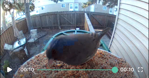
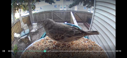
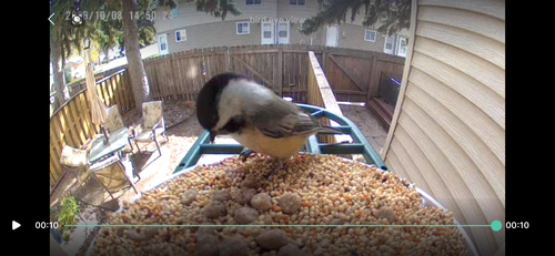
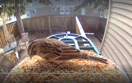

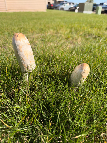

Research-grade observations from iNaturalist (within ~15 mi).
Nearest stream gauge
Live readings from USGS NWIS · measured 2013-10-22 23:45 UTC.
Events
Gallery
Sources
- • Wikipedia
- • US Census Bureau (ACS 5-year estimates)
- • NOAA National Weather Service
- • Wikidata
- • USGS Earthquake Catalog (global feed)
- • USGS NWIS (water data)
- • NCES via Urban Institute Education Data Portal
- • GBIF (Global Biodiversity Information Facility)
- • iNaturalist
- • CDC PLACES
- • Open-Meteo / sunrise-sunset.org
- • Wikipedia Pageviews API
- • Open Library
- • NASA EONET