Browse / United States / Nebraska / Decatur
Decatur
Nebraskavillage

Decatur
Total population
482
Median home value
$104,800
Bachelor's+
Median income
$55,313
Founded
1856
Air quality index
Demographic figures from US Census Bureau · ACS 5-year estimates. Overview below cites Wikipedia and may reference a different year.
City facts
Facts from Wikidata (CC0).
Overview
Decatur is a village in Burt County, Nebraska, United States, adjacent to the upper Missouri River. As of the 2020 census, Decatur had a population of 410. This town is named after one of its incorporators, Stephen Decatur. It developed around a trading post established by Colonel Peter Sarpy, the namesake for Sarpy County in the state.
Read more on WikipediaHistory & geography
History
The area was long occupied by the Omaha Native Americans, who settled along the creeks and river Explorers Meriwether Lewis and William Clark passed through the area in 1804 as their expedition traveled via the upper Missouri River on their way to and from the Pacific Coast, in their exploration of the Louisiana Purchase. The first European settler in the area was a man named Woods, who settled at the mouth of Wood Creek (his namesake) in 1837. Stephen Decatur arrived in the area in 1841. A former schoolteacher in New Jersey and New York, he had abandoned his wife and two children when he migrated to the West. Here he changed his name, dropping his former surname of "Bross." His farm was called Decatur Springs, after a spring which supplied water to the village for the next century. In 1854, the U.S. Commissioner of Indian Affairs purchased 300,000 acres of land from the Omaha, including the area which is now Decatur. The town of Decatur was incorporated in 1856 under the name "The Decatur Townsite & Ferry Company." The other incorporators included Thomas Whiteacre, T. H. Hineman, George Mason, and Herman Glass. Peter Sarpy helped lay out the town, which developed around his Indian trading post at the mouth of Wood Creek. He also owned Fontenelle's Post and is the namesake for Sarpy County. The patents for the town were granted by the legislature on May 1, 1862. Following the dissolution of the Decatur Townsite and Ferry Company, the town was renamed Decatur Village in 1858.
Geography
According to the United States Census Bureau, the village has a total area of , all land.
Excerpted from the corresponding Wikipedia article (CC BY-SA).
Demographics & economy
Race & ethnicity
Source: US Census Bureau — American Community Survey, 5-year estimates.
Geography
Coordinates & boundaries from the US Census TIGER/Line shapefiles.
Climate
Air quality
Current readings from Open-Meteo Air Quality API (Copernicus CAMS European reanalysis).
Industrial & pollution facilities
Natural hazard risk
Health (adults)
Age-adjusted prevalence estimates from CDC PLACES (latest release).
Walkability
Amenities nearby
Wildlife & biodiversity
Most-observed species
- American RobinTurdus migratorius Linnaeus, 1766 · Aves297
- Red-winged BlackbirdAgelaius phoeniceus (Linnaeus, 1766) · Aves288
- Mourning DoveZenaida macroura (Linnaeus, 1758) · Aves237
- Canada Goose (canadensis Group)Branta canadensis (Linnaeus, 1758) · Aves222
- Common GrackleQuiscalus quiscula (Linnaeus, 1758) · Aves221
- European StarlingSturnus vulgaris Linnaeus, 1758 · Aves205
- Blue JayCyanocitta cristata (Linnaeus, 1758) · Aves196
- House SparrowPasser domesticus (Linnaeus, 1758) · Aves181
Citizen-science & research observations from the Global Biodiversity Information Facility (GBIF).
Schools
Earthquake history
Most recent
- M 3.3 — 2010-11-184 km E of Octavia, Nebraska
Events from the USGS Earthquake Catalog (global) (FDSN Event Web Service).
Photos
Sights & places nearby
Notable people from here

People born within ~10 km, from Wikidata (CC0). Click any name for their Wikipedia article.
Nearby places in Nebraska
- Macy9.7 mi away · pop. 637
- Rosalie14 mi away · pop. 247
- Bancroft16.7 mi away
- Pender24.8 mi away · pop. 1,379
- Homer25.2 mi away · pop. 446
- Hooper31.4 mi away · pop. 989
- Jackson34.7 mi away · pop. 273
- Wakefield36.3 mi away · pop. 1,305
- Kennard36.7 mi away
- Pilger41.4 mi away · pop. 382
- Washington42.1 mi away · pop. 198
- Inglewood42.8 mi away
Geography & sun
Elevation, sunrise/sunset and daylight from Open-Meteo. Solar climatology from NASA POWER.
Nearby airports
Public attention
Pageview totals from the Wikimedia Pageviews API.
Books about Decatur
Search results from Open Library.
Recent natural events nearby
Ground air-quality sensors
Recently spotted species
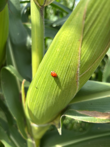
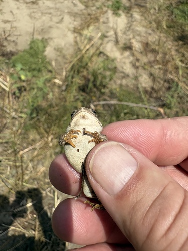
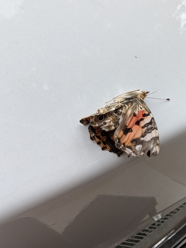
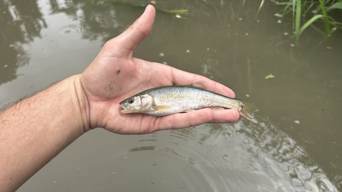
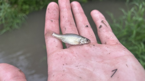
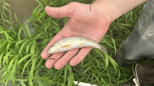
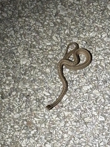
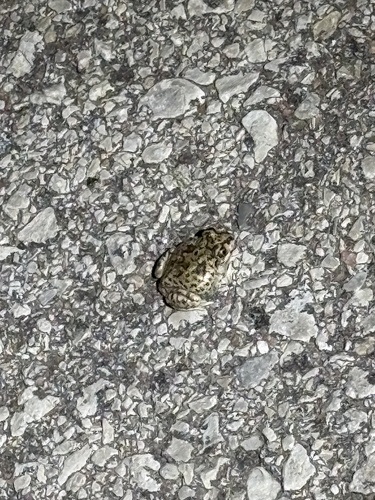
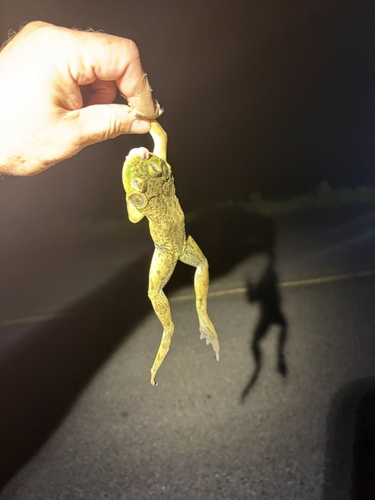
Research-grade observations from iNaturalist (within ~15 mi).
Nearest stream gauge
Events
Gallery
Sources
- • Wikipedia
- • US Census Bureau (ACS 5-year estimates)
- • Wikidata
- • Open-Meteo Air Quality (CAMS)
- • USGS Earthquake Catalog (global feed)
- • GBIF (Global Biodiversity Information Facility)
- • iNaturalist
- • CDC PLACES
- • Open-Elevation
- • Open-Meteo / sunrise-sunset.org
- • Wikipedia Pageviews API
- • Open Library