Browse / United States / Nebraska / Hooper
Hooper
Nebraskacity

Hooper
Total population
989
Median home value
$173,200
Bachelor's+
Median income
$77,865
Demographic figures from US Census Bureau · ACS 5-year estimates. Overview below cites Wikipedia and may reference a different year.
- Freeze Warning · SevereFreeze Warning issued October 16 at 10:01AM CDT until October 17 at 9:00AM CDT by NWS Omaha/Valley NE
Source: NOAA National Weather Service.
City facts
Facts from Wikidata (CC0).
Overview
Hooper is a city in Dodge County, Nebraska, United States. The population was 857 at the 2020 census.
Read more on WikipediaHistory & geography
History
Hooper was established in 1871, following construction of the Fremont, Elkhorn and Missouri Valley Railroad through the territory. It was named for Samuel Hooper, a US congressman from Massachusetts. By the 1970s, the future of railroad service came into question. The Chicago & North Western was running fewer trains through town. Throughout the decade, the train traffic continued to decline. This sparked a lot of discussion about abandonment. In spring of 1982, flooding from the Elkhorn River & nearby Pebble Creek damaged the track. With the declining freight traffic levels & flooding damage, the C&NW promptly filed a request with the Interstate Commerce Commission to abandon the line. Permission was granted later that year, leaving the tracks with a dismal future. In 1986, railroad service was revived by the newly formed Fremont & Elkhorn Valley Railroad (FEVR), which took ownership of the abandoned C&NW track. However, a bridge north of Nickerson was deemed unsafe to cross in 2003; as a result, FEVR embargoed train service through Hooper. In summer 2021, the tracks were dismantled as part of an effort to construct a bike path following the old railroad route.
Geography
According to the United States Census Bureau, the city has a total area of , of which is land and is water.
Excerpted from the corresponding Wikipedia article (CC BY-SA).
Demographics & economy
Race & ethnicity
Source: US Census Bureau — American Community Survey, 5-year estimates.
Geography
Coordinates & boundaries from the US Census TIGER/Line shapefiles.
Climate
Current forecast
Forecast for Hooper, NE from NOAA NWS API.
Air quality
Industrial & pollution facilities
Natural hazard risk
Health (adults)
Age-adjusted prevalence estimates from CDC PLACES (latest release).
Walkability
Amenities nearby
Wildlife & biodiversity
Most-observed species
- Red-winged BlackbirdAgelaius phoeniceus (Linnaeus, 1766) · Aves207
- American RobinTurdus migratorius Linnaeus, 1766 · Aves194
- Mourning DoveZenaida macroura (Linnaeus, 1758) · Aves192
- Red-tailed HawkButeo jamaicensis (Gmelin, 1788) · Aves188
- European StarlingSturnus vulgaris Linnaeus, 1758 · Aves130
- Blue JayCyanocitta cristata (Linnaeus, 1758) · Aves112
- House SparrowPasser domesticus (Linnaeus, 1758) · Aves109
- Brown-headed CowbirdMolothrus ater (Boddaert, 1783) · Aves108
Citizen-science & research observations from the Global Biodiversity Information Facility (GBIF).
Schools
Largest nearby schools
- LOGAN VIEW ELEMENTARYElementary · HOOPER · 316 students · 15:1 ratio
- LOGAN VIEW JR/SR HIGH SCHOOLHigh · HOOPER · 274 students · 12.5:1 ratio
- ELEMENTARY SCHOOL AT SCRIBNERElementary · SCRIBNER · 105 students · 7:1 ratio
- SCRIBNER-SNYDER SECONDARY SCHHigh · SCRIBNER · 66 students · 5.1:1 ratio
Public K–12 schools within ~10 mi from Urban Institute Education Data Portal (NCES Common Core of Data, 2022).
Earthquake history
Most recent
- M 3.3 — 2010-11-184 km E of Octavia, Nebraska
Events from the USGS Earthquake Catalog (global) (FDSN Event Web Service).
Photos
Sights & places nearby
Notable people from here


People born within ~10 km, from Wikidata (CC0). Click any name for their Wikipedia article.
Nearby places in Nebraska
Geography & sun
Elevation, sunrise/sunset and daylight from Open-Meteo. Solar climatology from NASA POWER.
Nearby airports
Public attention
Pageview totals from the Wikimedia Pageviews API.
Books about Hooper

Search results from Open Library.
Recent natural events nearby
Ground air-quality sensors
Recently spotted species
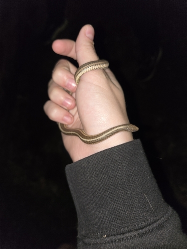
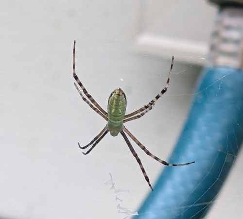
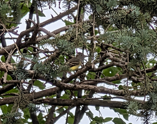
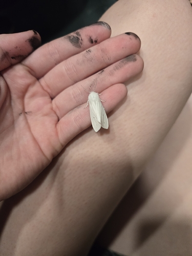
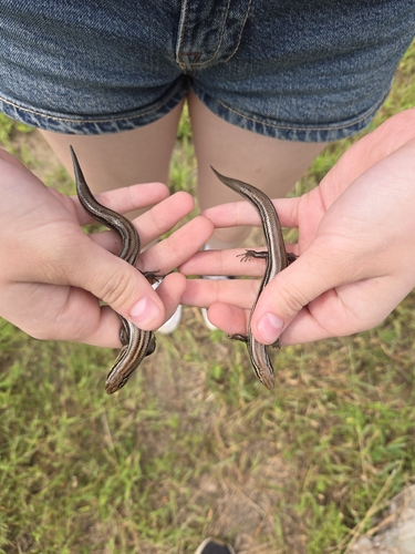
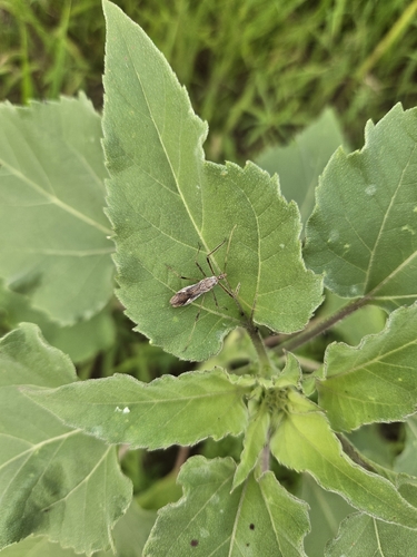
Research-grade observations from iNaturalist (within ~15 mi).
Nearest stream gauge
Events
Gallery
Sources
- • Wikipedia
- • US Census Bureau (ACS 5-year estimates)
- • NOAA National Weather Service
- • Wikidata
- • USGS Earthquake Catalog (global feed)
- • NCES via Urban Institute Education Data Portal
- • GBIF (Global Biodiversity Information Facility)
- • iNaturalist
- • CDC PLACES
- • Open-Meteo / sunrise-sunset.org
- • Wikipedia Pageviews API
- • Open Library