Browse / United States / Nebraska / Fontanelle
Fontanelle
NebraskaCDP

Fontanelle
Total population
60
Median home value
$0
Bachelor's+
Median income
$0
Air quality index
Demographic figures from US Census Bureau · ACS 5-year estimates. Overview below cites Wikipedia and may reference a different year.
- Flood Watch · SevereFlood Watch issued September 30 at 12:46AM CDT until October 1 at 7:00PM CDT by NWS Omaha/Valley NE
Source: NOAA National Weather Service.
City facts
Facts from Wikidata (CC0).
Overview
Fontanelle is a census-designated place (CDP) in Washington County, Nebraska, United States. As of the 2020 census, Fontanelle had a population of 67.
Read more on WikipediaHistory & geography
History
The site of repeated incursions by the neighboring Pawnee tribe, Fontanelle was an early boom town in the Nebraska Territory, but waned in importance after failing to secure a railroad connection in the late 19th century. The 1860 Federal Census showed the town having dozens of residents, including farmers, carpenters, blacksmiths, clergymen, lawyers, and other professions. The town dwindled from a population of 500 to a few dozen after an early university left in the 1870s, it failed to get a railroad connection, and the nation suffered a financial depression. A misspelling of the name of Logan Fontenelle, this town was named in honor of the Omaha Tribe leader, who was killed in 1855 by Sioux. He had served as interpreter to a delegation of Omaha chiefs in negotiation with the United States when they agreed to cede most of their land in Nebraska to the US. The town was originally organized by the Nebraska Colonization Company, founded in Quincy, Illinois, in 1854. The company's goal in founding the town was to develop "a literary institution which shall be known as the Nebraska University." In spring 1855 a prospecting party chose the site about twelve miles from the present city of Fremont. Fontanelle was the original seat of Dodge County, but later became a part of Washington County. It was originally promoted for the territorial capital, but lost to Omaha City to the south. It had one of the first churches in the Nebraska Territory. The Nebraska Territory Legislature awarded a charter to the Nebraska University, also called Fontanelle University, in 1855, and the first building was erected in 1856. Operated by the Congregational Church the University flourished for several years. When Fontanelle lost the county seat, leaders decided to move the university, and…
Geography
Fontanelle is in western Washington County, northeast of Fremont, along Nebraska Highway 91. It is east of U.S. Routes 77 and 275.
Excerpted from the corresponding Wikipedia article (CC BY-SA).
Demographics & economy
Race & ethnicity
Source: US Census Bureau — American Community Survey, 5-year estimates.
Geography
Coordinates & boundaries from the US Census TIGER/Line shapefiles.
Climate
Current forecast
Forecast for Fontanelle, NE from NOAA NWS API.
Air quality
Current readings from Open-Meteo Air Quality API (Copernicus CAMS European reanalysis).
Industrial & pollution facilities
Natural hazard risk
Health (adults)
Walkability
Amenities nearby
Wildlife & biodiversity
Most-observed species
- House SparrowPasser domesticus (Linnaeus, 1758) · Aves2,573
- American RobinTurdus migratorius Linnaeus, 1766 · Aves2,039
- European StarlingSturnus vulgaris Linnaeus, 1758 · Aves1,954
- House FinchHaemorhous mexicanus (P.L.Statius Müller, 1776) · Aves1,890
- Mourning DoveZenaida macroura (Linnaeus, 1758) · Aves1,775
- Downy WoodpeckerDryobates pubescens (Linnaeus, 1766) · Aves1,745
- Northern CardinalCardinalis cardinalis (Linnaeus, 1758) · Aves1,722
- Blue JayCyanocitta cristata (Linnaeus, 1758) · Aves1,648
Citizen-science & research observations from the Global Biodiversity Information Facility (GBIF).
Schools
Earthquake history
Most recent
- M 3.3 — 2010-11-184 km E of Octavia, Nebraska
Events from the USGS Earthquake Catalog (global) (FDSN Event Web Service).
Photos
Sights & places nearby
Notable people from here
Nearby places in Nebraska
Geography & sun
Elevation, sunrise/sunset and daylight from Open-Meteo. Solar climatology from NASA POWER.
Nearby airports
Public attention
Pageview totals from the Wikimedia Pageviews API.
Books about Fontanelle
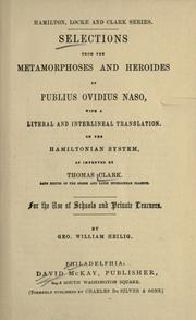
Search results from Open Library.
Recent natural events nearby
Ground air-quality sensors
Recently spotted species
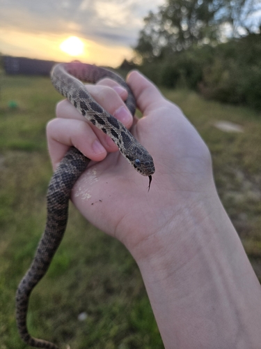
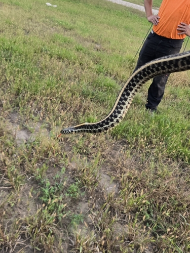
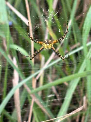
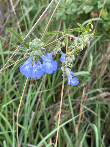
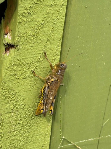
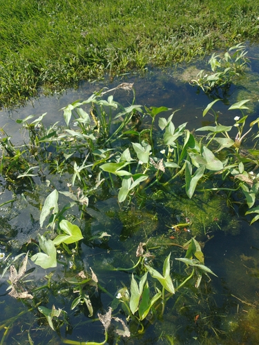
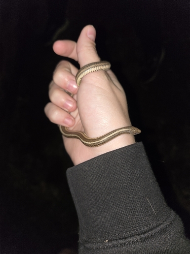
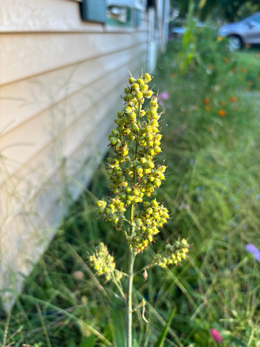
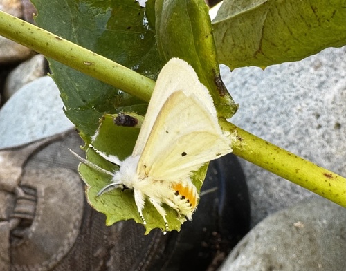
Research-grade observations from iNaturalist (within ~15 mi).
Nearest stream gauge
Live readings from USGS NWIS · measured 2026-09-25 19:45 UTC.
Events
Gallery
Sources
- • Wikipedia
- • US Census Bureau (ACS 5-year estimates)
- • NOAA National Weather Service
- • Wikidata
- • Open-Meteo Air Quality (CAMS)
- • USGS Earthquake Catalog (global feed)
- • USGS NWIS (water data)
- • GBIF (Global Biodiversity Information Facility)
- • iNaturalist
- • Open-Meteo / sunrise-sunset.org
- • Wikipedia Pageviews API
- • Open Library