Browse / United States / Nebraska / Schuyler
Schuyler
Nebraskacity

Schuyler
Total population
6,578
Median home value
$145,700
Bachelor's+
Median income
$80,399
Founded
1870
Demographic figures from US Census Bureau · ACS 5-year estimates. Overview below cites Wikipedia and may reference a different year.
City facts
Facts from Wikidata (CC0).
Overview
Schuyler is a city in Colfax County, Nebraska, United States. As of the 2020 census, Schuyler had a population of 6,547. It is the county seat of Colfax County. The city is named after former Vice President of the United States, Schuyler Colfax.
Read more on WikipediaHistory & geography
History
In 1866, the Union Pacific Railroad reached present-day Schuyler, at the time known as Shell Creek Station. Three years later, the Nebraska State Legislature divided large Platte County into three smaller counties, including Colfax County. In 1870, Shell Creek Station was renamed Schuyler. In 1870, the Union Pacific chose the town as the point at which Texas cattle being driven north would be loaded onto trains. With this, Schuyler became Nebraska's first "cow town". However, the resulting boom, which saw a six-fold increase in the town's population (from 100 to 600) and around 50,000 head of cattle pass through, was only temporary: the next year, the terminus of the cattle trail had moved west to Kearney. The city's early residents were Czech, Irish, and German settlers. Settlement was enabled by Schuyler's geographic position, which caused the community to be associated with a number of historic overland transportation routes, including: * Oregon Trail (1836–1869) * Mormon Trail (1840s–1850s) * Transcontinental Railway (1866–present) * Coast-to-coast Lincoln Highway (1913–1925) Beginning in the late 1980s, reductions in wages at the Cargill beef processing plant led to a change in Schuyler's demographic makeup. By 2017, an estimated 60% of the population was Latino, and immigrants from other parts of the world, including Somalia and Thailand, had also moved to the city. In December 2020, the Schuyler City Council voted to reject the formation of a board of health, which would have potentially resulted in a mask mandate. In January 2021, the city council voted to establish a board of health and appointed members, after two previous attempts failed. The council passed a revised ordinance which gave the board power to only suggest actions to the city council. In…
Geography
According to the United States Census Bureau, the city has a total area of , of which is land and is water.
Excerpted from the corresponding Wikipedia article (CC BY-SA).
Demographics & economy
Race & ethnicity
Source: US Census Bureau — American Community Survey, 5-year estimates.
Geography
Coordinates & boundaries from the US Census TIGER/Line shapefiles.
Climate
Current forecast
Forecast for Schuyler, NE from NOAA NWS API.
Air quality
Industrial & pollution facilities
Natural hazard risk
Health (adults)
Age-adjusted prevalence estimates from CDC PLACES (latest release).
Walkability
Amenities nearby
Wildlife & biodiversity
Most-observed species
- American RobinTurdus migratorius Linnaeus, 1766 · Aves127
- Mourning DoveZenaida macroura (Linnaeus, 1758) · Aves110
- Canada Goose (canadensis Group)Branta canadensis (Linnaeus, 1758) · Aves104
- Red-winged BlackbirdAgelaius phoeniceus (Linnaeus, 1766) · Aves103
- European StarlingSturnus vulgaris Linnaeus, 1758 · Aves89
- Barn SwallowHirundo rustica Linnaeus, 1758 · Aves83
- Eurasian Collared-DoveStreptopelia decaocto (Frivaldszky, 1838) · Aves80
- Blue JayCyanocitta cristata (Linnaeus, 1758) · Aves78
Citizen-science & research observations from the Global Biodiversity Information Facility (GBIF).
Schools
Earthquake history
Most recent
- M 2.7 — 2025-02-058 km SSE of Tilden, Nebraska
- M 3.3 — 2010-11-184 km E of Octavia, Nebraska
Events from the USGS Earthquake Catalog (global) (FDSN Event Web Service).
Photos
Sights & places nearby
Notable people from here


People born within ~10 km, from Wikidata (CC0). Click any name for their Wikipedia article.
Nearby places in Nebraska
- Octavia7.1 mi away · pop. 153
- Bellwood11.9 mi away · pop. 492
- Prague16.3 mi away · pop. 310
- Lakeview16.5 mi away · pop. 447
- Garrison19.7 mi away · pop. 61
- Leigh19.8 mi away · pop. 443
- Malmo21.8 mi away · pop. 95
- Shelby25.9 mi away · pop. 684
- Surprise27.1 mi away · pop. 35
- Monroe27.9 mi away · pop. 252
- Hooper28.7 mi away · pop. 989
- Inglewood29.1 mi away
Geography & sun
Elevation, sunrise/sunset and daylight from Open-Meteo. Solar climatology from NASA POWER.
Nearby airports
Public attention
Pageview totals from the Wikimedia Pageviews API.
Books about Schuyler



Search results from Open Library.
Recent natural events nearby
Ground air-quality sensors
Recently spotted species
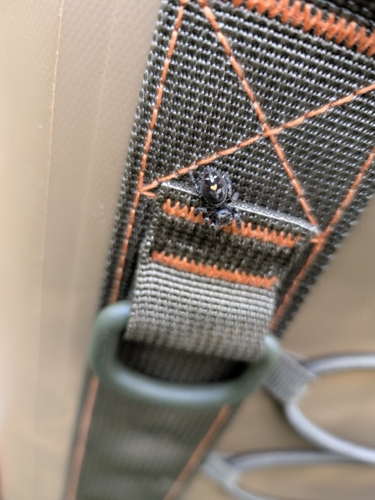
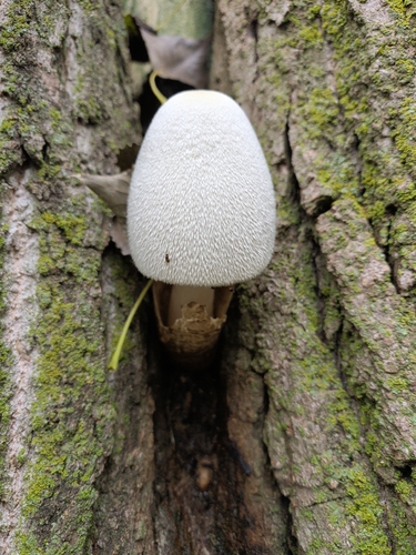
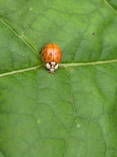
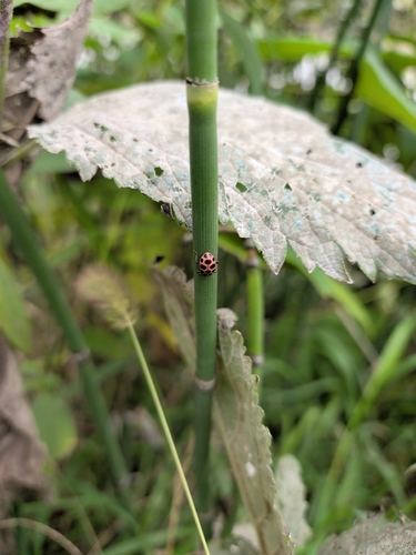
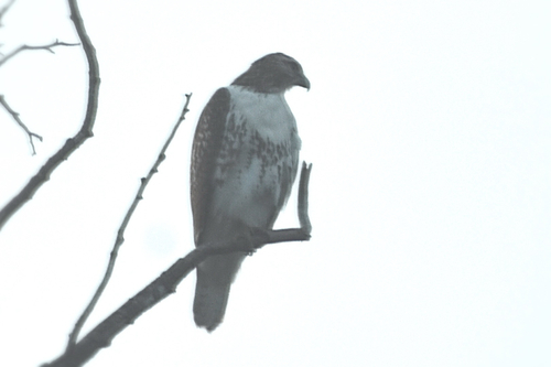
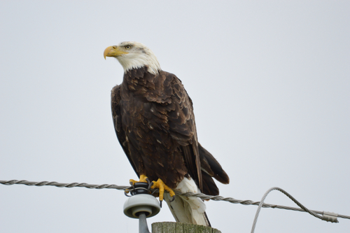
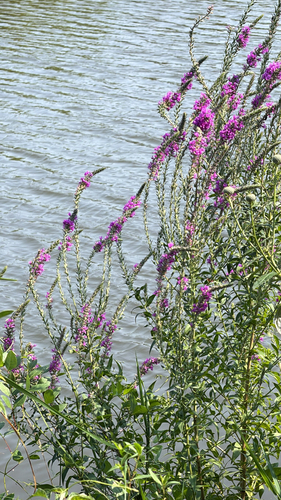
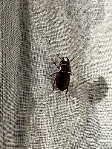
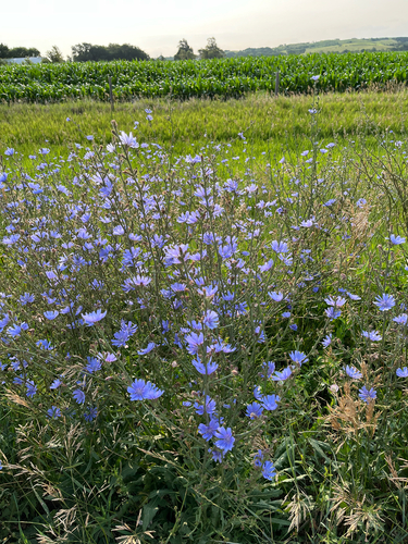
Research-grade observations from iNaturalist (within ~15 mi).
Nearest stream gauge
Events
Gallery
Sources
- • Wikipedia
- • US Census Bureau (ACS 5-year estimates)
- • NOAA National Weather Service
- • Wikidata
- • USGS Earthquake Catalog (global feed)
- • GBIF (Global Biodiversity Information Facility)
- • iNaturalist
- • CDC PLACES
- • Open-Meteo / sunrise-sunset.org
- • Wikipedia Pageviews API
- • Open Library