Aba
Abiacity

Aba
Total population
1,020,900
Demographic figures from National Bureau of Statistics (Nigeria). Overview below cites Wikipedia and may reference a different year.
City facts
Overview
Aba is a city in southeastern Nigeria. It lies along the west bank of the Aba River and is at the intersection of roads leading to cities such as Port Harcourt, Owerri, Umuahia, Ikot Ekpene, and Ikot-Abasi.
Read more on WikipediaHistory & geography
History
The city was initially a trade centre, which eventually became an administrative centre of Britain's colonial government. Aba has been a major commercial centre ever since it became part of British Nigeria. The Aro Expedition, which was part of a larger military plan to quell anti-colonial sentiment in the region, took place in the area of Aba between 1901 and 1902. During this military action, the British defeated the native Aro people with a presumably large number of casualties. In 1901, the British founded a military post in Aba and in 1915, a railroad was constructed to link it to Port Harcourt, which transported agricultural goods such as palm oil and palm kernels. In 1929, Aba was the site of a revolt by Igbo women, historically known as Women's War, which was a protest against the colonial taxation policy. The riot started as a peaceful protest against the initial census of women in the region and subsequent assumed taxation of the women based upon rumours. The protests spread throughout the region, but remained peaceful until a pregnant woman was knocked over during a "scuffle", and the lady lost her child. News of this "act of abomination" spread rapidly, and violent reactions ensued. After more protests, a mass of 10,000 women marched on Aba. Sources dispute the casualty rate, with 55 to over 100 deaths being reported. Upon the creation of Abia State in 1991, the old Aba township was divided into two local government areas, being Aba South and Aba North, while the suburban neighborhood of what was then known as Obioma Ngwa L.G.A. was divided into three L.G.A.s (namely Osisioma Ngwa, Obingwa and Ugwunagbo) for administrative convenience. Aba is the home of many distinguished families such as the Emejiaka Egbu family of Aba la Ohazu, the Ogbonna family of…
Excerpted from the corresponding Wikipedia article (CC BY-SA).
Geography
Coordinates & boundaries from the US Census TIGER/Line shapefiles.
Climate
Air quality
Walkability
Amenities nearby
Wildlife & biodiversity
Earthquake history
Photos
Sights & places nearby
Notable people from here


People born within ~10 km, from Wikidata (CC0). Click any name for their Wikipedia article.
Nearby places in Abia
- Fitzgerald6875.2 mi away · pop. 9
- Chipewyan Camp - 201C6898.5 mi away
- Clearwater Camp6959.5 mi away
- Anzac6965.7 mi away · pop. 548
- Janvier South6979.7 mi away · pop. 100
- Gardiner Camp6980.8 mi away
- Garden River6983.8 mi away · pop. 706
- Beaver Crossing7000.2 mi away
- Beaver River7002.3 mi away
- Happy Hollow7008.7 mi away
- La Corey7017.8 mi away
- Durlingville7018.6 mi away
Geography & sun
Elevation, sunrise/sunset and daylight from Open-Meteo. Solar climatology from NASA POWER.
Nearby airports
Public attention
Pageview totals from the Wikimedia Pageviews API.
Books about Aba


Search results from Open Library.
Recent natural events nearby
Ground air-quality sensors
Recently spotted species
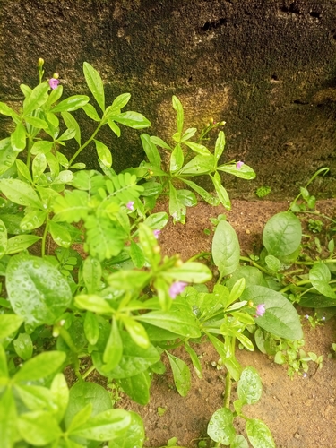

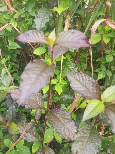
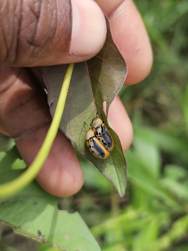
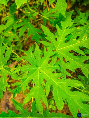
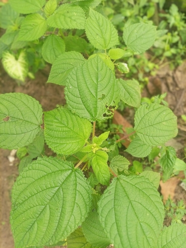
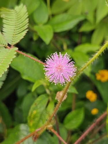
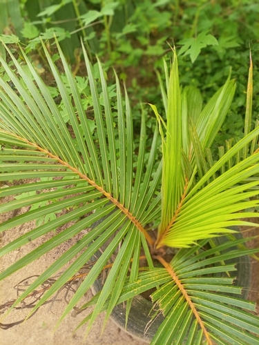
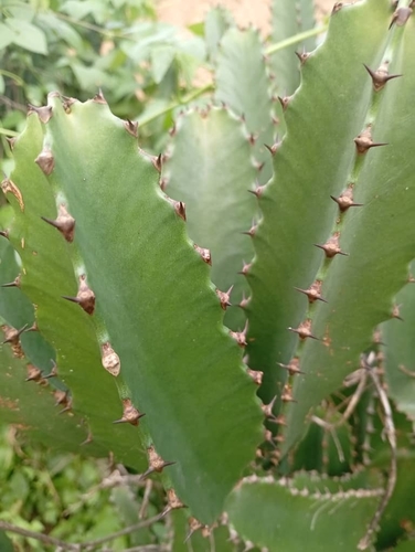
Research-grade observations from iNaturalist (within ~15 mi).
Events
Gallery
Sources
- • Wikipedia
- • Wikidata
- • iNaturalist
- • Open-Elevation
- • Open-Meteo / sunrise-sunset.org
- • Wikipedia Pageviews API
- • Open Library