Browse / Nigeria / Rivers / Emohua
Emohua
Riverstown
No image yet
Coordinates4.88°, 6.86°
Demographic figures from National Bureau of Statistics (Nigeria). Overview below cites Wikipedia and may reference a different year.
Loading additional data from public sources…0 / 11
CensusWikipediaWeatherPlacesPeopleEnvironmentHealth & SchoolsRelatedGeography & CultureLive MonitoringEvents & Gallery
0% completeCity facts
Overview
Emohua is a town and the headquarters of the Emohua Local Government Area of Rivers State, Nigeria. It comprises eight villages, namely:Oduoha Elibrada Isiodu Rumuakunde Rumuche Rumuohia Mgbueto Mgbuitanwo
Read more on WikipediaHistory & geography
Geography
Latitude
4.8839
Longitude
6.8610
Water area
—
Coordinates & boundaries from the US Census TIGER/Line shapefiles.
Climate
Air quality
Walkability
Amenities nearby
Wildlife & biodiversity
Earthquake history
Photos
Sights & places nearby
Notable people from here
Nearby places in Rivers
Geography & sun
Avg solar (kWh/m²/day)
4.19
Annual solar (kWh/m²)
1,531
Elevation, sunrise/sunset and daylight from Open-Meteo. Solar climatology from NASA POWER.
Nearby airports
Public attention
Wikipedia views (last 30 days)
129
Avg daily Wikipedia views
4
Attention level
Obscure
Pageview totals from the Wikimedia Pageviews API.
Books about Emohua
Search results from Open Library.
Recent natural events nearby
Ground air-quality sensors
Recently spotted species
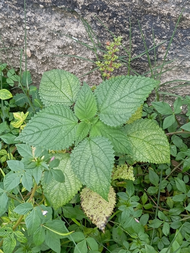
West Indian woodnettle
Laportea aestuans
Seen 2026-05-22
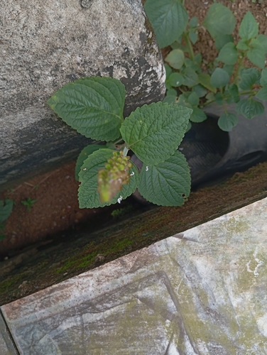
Monkey's Potato
Coleus monostachyus
Seen 2026-04-26
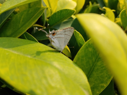
Common Hairstreak
Hypolycaena philippus
Seen 2026-03-05
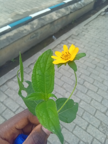
Aspilia africana
Aspilia africana
Seen 2025-08-23
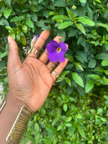
Bush Thunbergia
Thunbergia erecta
Seen 2025-08-10
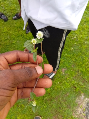
prostrate globe-amaranth
Gomphrena celosioides
Seen 2025-06-27
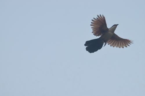
Senegal Coucal
Centropus senegalensis
Seen 2025-01-30
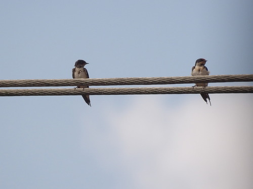
Ethiopian Swallow
Hirundo aethiopica
Seen 2024-06-29
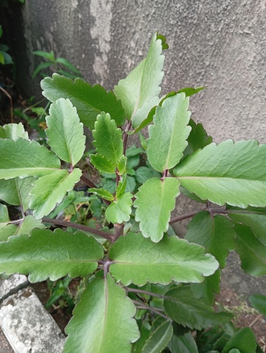
Air Plant
Kalanchoe pinnata
Seen 2024-04-28
Research-grade observations from iNaturalist (within ~15 mi).
Events
Gallery
Sources
- • Wikipedia
- • iNaturalist
- • Open-Meteo / sunrise-sunset.org
- • Wikipedia Pageviews API
- • Open Library