Browse / Nigeria / Rivers / Oyigbo
Oyigbo
Riverstown
No image yet
Founded
1991
Land area248 km²
Coordinates4.88°, 7.13°
Demographic figures from National Bureau of Statistics (Nigeria). Overview below cites Wikipedia and may reference a different year.
Loading additional data from public sources…0 / 11
CensusWikipediaWeatherPlacesPeopleEnvironmentHealth & SchoolsRelatedGeography & CultureLive MonitoringEvents & Gallery
0% completeCity facts
Founded
1991
Area
248 km²
Time zone
UTC+01:00
Facts from Wikidata (CC0).
Overview
Oyigbo is a town and Local Government Area located in Rivers State, Nigeria. It is a town, 30 kilometres from the Port city of Port Harcourt, 25 km from the city of Aba.
Read more on WikipediaHistory & geography
Geography
Latitude
4.8814
Longitude
7.1334
Water area
—
Coordinates & boundaries from the US Census TIGER/Line shapefiles.
Climate
Air quality
Walkability
Amenities nearby
Wildlife & biodiversity
Earthquake history
Photos
Sights & places nearby
Notable people from here
Nearby places in Rivers
Geography & sun
Avg solar (kWh/m²/day)
4.12
Annual solar (kWh/m²)
1,505
Elevation, sunrise/sunset and daylight from Open-Meteo. Solar climatology from NASA POWER.
Nearby airports
Public attention
Wikipedia views (last 30 days)
354
Avg daily Wikipedia views
12
Attention level
Obscure
Pageview totals from the Wikimedia Pageviews API.
Books about this place
Recent natural events nearby
Ground air-quality sensors
Recently spotted species
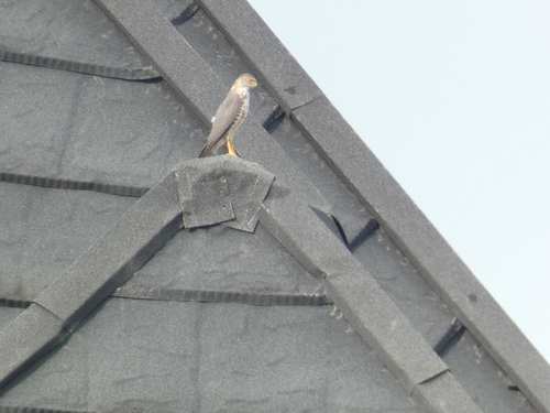
Shikra
Tachyspiza badia
Seen 2025-07-15
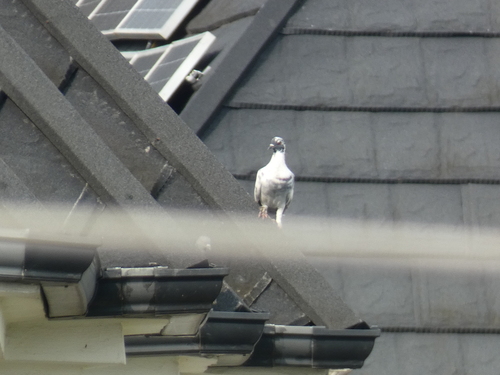
Feral Pigeon
Columba livia domestica
Seen 2025-07-15
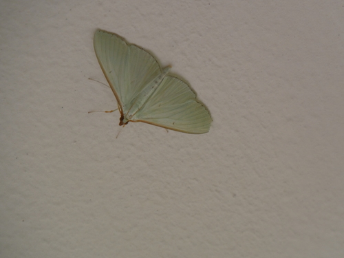
Large emerald pearl
Stemorrhages sericea
Seen 2025-07-14
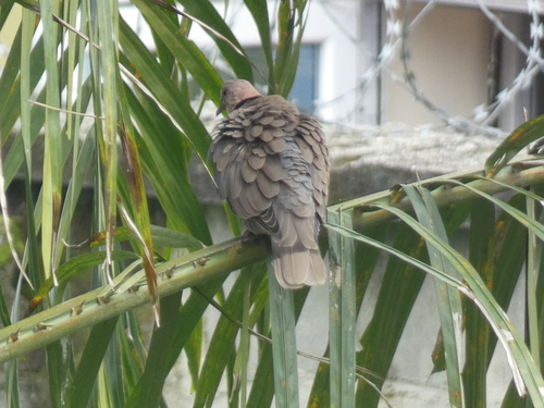
Red-eyed Dove
Streptopelia semitorquata
Seen 2025-07-13
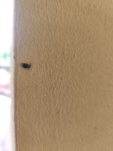
Syagrus calcaratus
Syagrus calcaratus
Seen 2025-07-13

Laughing Dove
Spilopelia senegalensis
Seen 2025-07-13
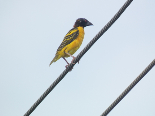
Village Weaver
Ploceus cucullatus
Seen 2025-07-12
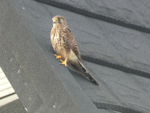
Eurasian Kestrel
Falco tinnunculus
Seen 2025-07-12

Bar-breasted Firefinch
Lagonosticta rufopicta
Seen 2025-07-12
Research-grade observations from iNaturalist (within ~15 mi).
Events
Gallery
Sources
- • Wikipedia
- • Wikidata
- • iNaturalist
- • Open-Meteo / sunrise-sunset.org
- • Wikipedia Pageviews API