Browse / United States / New Hampshire / Colebrook
Colebrook
New HampshireCDP

Colebrook
Total population
1,268
Median home value
$156,700
Bachelor's+
Median income
$46,833
Founded
1796
Demographic figures from US Census Bureau · ACS 5-year estimates. Overview below cites Wikipedia and may reference a different year.
City facts
Facts from Wikidata (CC0).
Overview
Colebrook is a town in Coös County, New Hampshire, United States. The population was 2,084 at the time of the 2020 census, down from 2,301 at the 2010 census. Situated in the Great North Woods Region, it is bounded on the west by the Connecticut River and home to Beaver Brook Falls Natural Area.
Read more on WikipediaHistory & geography
History
First granted in 1762 by New Hampshire's colonial Governor Benning Wentworth, the territory was named "Dryden", after English poet and playwright John Dryden. Due to the inability of its original grantees to settle the remote area, however, it was regranted in 1770 by Colonial Governor John Wentworth, who renamed it "Colebrook Town" after Sir George Colebrooke, the East India Company's chairman of the board. It was settled that same year by a single family by the name of Rosebrook, but the family was driven out by the Revolutionary War, and further settlement did not occur until after the war's end. The 1790 census recorded a population of 29, and the town was incorporated as Colebrook on June 11, 1796. For many years, it was the shire town of the Northern Judicial District of Coos County. Today, it has a district branch of the Lancaster Superior Court. A conflicting account holds that the town "was originally called Coleburne and was granted to Sir George Colebrook and others. It was incorporated June 11, 1795." The first road through the town was known as River Road, taking a route that is roughly followed today by U.S. Route 3, the Daniel Webster Highway. The first surveyed lots in the town comprised about each, running from River Road to the Connecticut River. Settlement then proceeded up two new roads, Titus Hill Road and what is now Pleasant Street. Titus Hill leads southeast out of the town center up to high ground in the neighboring town of Columbia that supports farming, while Pleasant Street, now a short road in Colebrook village, led east up the valley of the Mohawk River (now the route of New Hampshire Route 26) to the area of East Colebrook, the present-day village of Kidderville, and what was known as "Factory Village", which grew about east of the…
Geography
Colebrook is the hub of northern Coos County. Roads from Maine, Vermont, and Quebec all converge in the center of town. To the north is Stewartstown, to the east is Dixville and to the south is Columbia. Lemington, Vermont, is located to the west of town, across the Connecticut River. U.S. Route 3 passes through the center of Colebrook, leading north to West Stewartstown and south through Columbia to Groveton. New Hampshire Route 145 has its southern terminus at US 3 in Colebrook and is the most direct route north to Pittsburg. New Hampshire Route 26 also runs through the center of Colebrook, leading west to its terminus in Lemington, Vermont, and east through Dixville Notch to Errol. According to the United States Census Bureau, the town of Colebrook has a total area of , of which are land and are water, comprising 0.51% of the town. Colebrook has a humid continental climate (Köppen Dfb) with warm summer days and mild nights but severely cold winters with high diurnal temperature variation. Snowfall is high during winter, similar to most of Northeastern United States, but a long-lasting snow pack is formed due to the persistently cold temperatures. Average winter lows are only narrowly above 0 °F, according to NOAA's weather station normals.
Excerpted from the corresponding Wikipedia article (CC BY-SA).
Demographics & economy
Race & ethnicity
Source: US Census Bureau — American Community Survey, 5-year estimates.
Geography
Coordinates & boundaries from the US Census TIGER/Line shapefiles.
Climate
Current forecast
Forecast for Colebrook, NH from NOAA NWS API.
Air quality
Industrial & pollution facilities
Natural hazard risk
Health (adults)
Age-adjusted prevalence estimates from CDC PLACES (latest release).
Walkability
Amenities nearby
Wildlife & biodiversity
Most-observed species
- Black-capped ChickadeePoecile atricapillus (Linnaeus, 1766) · Aves4,944
- Blue JayCyanocitta cristata (Linnaeus, 1758) · Aves4,275
- Red-breasted NuthatchSitta canadensis Linnaeus, 1766 · Aves3,941
- White-throated SparrowZonotrichia albicollis (J.F.Gmelin, 1789) · Aves2,867
- Golden-crowned KingletRegulus satrapa Lichtenstein, 1823 · Aves2,660
- American CrowCorvus brachyrhynchos C.L.Brehm, 1822 · Aves2,596
- American RobinTurdus migratorius Linnaeus, 1766 · Aves2,517
- Yellow-rumped WarblerSetophaga coronata (Linnaeus, 1766) · Aves2,401
Citizen-science & research observations from the Global Biodiversity Information Facility (GBIF).
Schools
Largest nearby schools
- Colebrook Academy and Elementary School (E)Elementary · Colebrook · 198 students · 9:1 ratio
- Colebrook Academy and Elementary School (H)High · Colebrook · 118 students · 7.9:1 ratio
- Stewartstown Community SchoolElementary · W. Stewartstown · 53 students · 8.8:1 ratio
Public K–12 schools within ~10 mi from Urban Institute Education Data Portal (NCES Common Core of Data, 2022).
Earthquake history
Most recent
- M 2.9 — 2022-02-040 km SSW of Gorham, New Hampshire
- M 2.5 — 2016-02-114 km S of Dallas, Maine
- M 2.59 — 2013-02-0711 km E of Cookshire, Canada
- M 2.51 — 2011-07-084 km NE of Newbury, Vermont
- M 2.5 — 2009-11-19Maine
Events from the USGS Earthquake Catalog (global) (FDSN Event Web Service).
Photos
Sights & places nearby
Notable people from here


People born within ~10 km, from Wikidata (CC0). Click any name for their Wikipedia article.
Nearby places in New Hampshire
- West Stewartstown6.8 mi away
- Groveton19.6 mi away · pop. 834
- Lancaster28.3 mi away
- Berlin30.3 mi away
- Whitefield36.6 mi away
- Gorham37.6 mi away
- Littleton41.2 mi away
- Bethlehem43.6 mi away · pop. 1,058
- Lisbon51.4 mi away · pop. 730
- Bartlett57.7 mi away · pop. 312
- Mountain Lakes57.9 mi away · pop. 354
- Lincoln58.3 mi away · pop. 923
Geography & sun
Elevation, sunrise/sunset and daylight from Open-Meteo. Solar climatology from NASA POWER.
Nearby airports
Public attention
Pageview totals from the Wikimedia Pageviews API.
Books about Colebrook


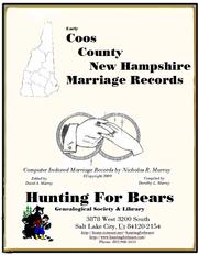
Search results from Open Library.
Recent natural events nearby
Ground air-quality sensors
Recently spotted species

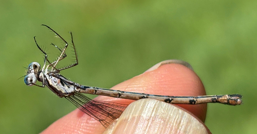

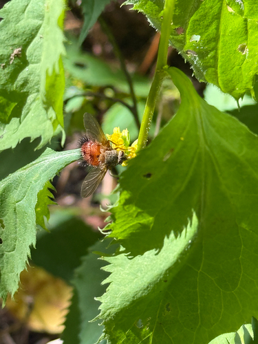
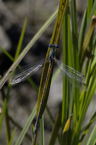
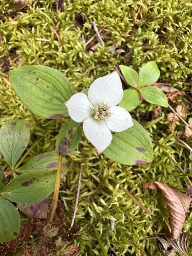
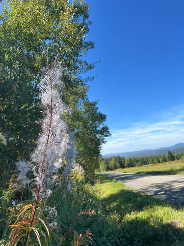
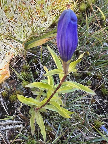

Research-grade observations from iNaturalist (within ~15 mi).
Nearest stream gauge
Events
Gallery
Sources
- • Wikipedia
- • US Census Bureau (ACS 5-year estimates)
- • NOAA National Weather Service
- • Wikidata
- • USGS Earthquake Catalog (global feed)
- • NCES via Urban Institute Education Data Portal
- • GBIF (Global Biodiversity Information Facility)
- • iNaturalist
- • CDC PLACES
- • Open-Meteo / sunrise-sunset.org
- • Wikipedia Pageviews API
- • Open Library