Browse / United States / New Hampshire / Laconia
Laconia
New Hampshirecity

Laconia
Total population
17,085
Median home value
$340,300
Bachelor's+
Median income
$73,218
Founded
1855
Air quality index
Demographic figures from US Census Bureau · ACS 5-year estimates. Overview below cites Wikipedia and may reference a different year.
City facts
Facts from Wikidata (CC0).
Overview
Laconia is a city in Belknap County, New Hampshire, United States. The population was 16,871 at the 2020 census, and an estimated 17,246 in 2025, up from 15,951 at the 2010 census. It is the county seat of Belknap County. Laconia, situated between Lake Winnipesaukee and Lake Winnisquam, includes the villages of Lakeport and Weirs Beach. Each June, the city hosts Laconia Motorcycle Week, also known as "Bike Week," one of the country's largest motorcycle rallies.
Read more on WikipediaHistory & geography
History
A large Abenaki Indian settlement called Aquadoctan once existed at the point now known as The Weirs, named by colonists for fishing weirs discovered at the outlet of the Winnipesaukee River. Early explorers had hoped to follow the Piscataqua River north to Lake Champlain in search of the great lakes and rivers of Canada mentioned in Indian folklore. About 1652, the Endicott surveying party visited the area, an event commemorated by Endicott Rock, a local landmark. A fort would be built at Laconia in 1746. Local industry produced lumber, textiles, shoes, hosiery, knitting machinery and needles. But the city's largest employer would be the Laconia Car Company, builder of rail, trolley and subway cars. Started in 1848, it lasted until the 1930s. The railroad entered town in 1849, carrying both freight and an increasing number of summer tourists to popular Weirs Beach. In 1855, Laconia was incorporated as a town from land in Meredith Bridge, Lakeport, Weirs and part of Gilmanton. The name was probably derived from the old Laconia Company, formed by Captain John Mason and the Masonian Proprietors to sell parcels of land during the colonial era. The Great Fire of 1860 destroyed most of Main Street from Mill to Water streets, followed by the Great Lakeport Fire of 1903, a blaze so fierce that fire companies were brought by train from as far away as Dover. Laconia was incorporated as a city in 1893.
Geography
Laconia is located northwest of the geographic center of Belknap County. The city lies at the center of New Hampshire's Lakes Region, and all or part of four major bodies of water lie within its limits: Lake Winnipesaukee, Lake Winnisquam, Opechee Bay and Paugus Bay (sometimes counted as an arm of Winnipesaukee, but historically a separate body of water). Laconia contains three main villages. Downtown Laconia, where the Belknap County Courthouse is located, can be found in the southern tip of the city, along the Winnipesaukee River between Opechee Bay to the north and Lake Winnisquam to the southwest. Lakeport, located between Opeechee Bay and Paugus Bay, is near the geographic center of the city. Weirs Beach, around the channel connecting Paugus Bay with Lake Winnipesaukee, lies at the northern edge of the city. U.S. Route 3 passes through parts of the city, bypassing downtown but passing through Weirs Beach. New Hampshire Route 11 bypasses the city in a concurrency with US 3. The two highways lead southwest from Laconia to Tilton and Franklin. New Hampshire Route 11A represents the old routes 11 and 3 through downtown as Court Street and Union Avenue, but then turns east on Gilford Avenue to lead to Gilford and West Alton. New Hampshire Route 106 runs north-south through downtown, leading south to Concord and north to Meredith. New Hampshire Route 107 leads southeast from downtown towards Gilmanton and Pittsfield. Route 107 turns north in downtown and follows Union Avenue (former Route 3) to a junction with US 3 near the north end of the Laconia Bypass. US 3 continues north along the east shore of Paugus Bay, through Weirs Beach and into Meredith. Route 11 leads east from the Laconia Bypass past Glendale and into Alton. New Hampshire Route 11B leads east from Weirs…
Excerpted from the corresponding Wikipedia article (CC BY-SA).
Demographics & economy
Race & ethnicity
Source: US Census Bureau — American Community Survey, 5-year estimates.
Geography
Coordinates & boundaries from the US Census TIGER/Line shapefiles.
Climate
Current forecast
Forecast for Laconia, NH from NOAA NWS API.
Air quality
Current readings from Open-Meteo Air Quality API (Copernicus CAMS European reanalysis).
Industrial & pollution facilities
Natural hazard risk
Health (adults)
Age-adjusted prevalence estimates from CDC PLACES (latest release).
Walkability
Amenities nearby
Wildlife & biodiversity
Most-observed species
- Black-capped ChickadeePoecile atricapillus (Linnaeus, 1766) · Aves6,938
- American CrowCorvus brachyrhynchos C.L.Brehm, 1822 · Aves6,053
- Blue JayCyanocitta cristata (Linnaeus, 1758) · Aves5,923
- American GoldfinchSpinus tristis (Linnaeus, 1758) · Aves4,971
- Tufted TitmouseBaeolophus bicolor (Linnaeus, 1766) · Aves4,896
- Northern CardinalCardinalis cardinalis (Linnaeus, 1758) · Aves4,034
- Downy WoodpeckerDryobates pubescens (Linnaeus, 1766) · Aves4,031
- White-breasted NuthatchSitta carolinensis Latham, 1790 · Aves4,010
Citizen-science & research observations from the Global Biodiversity Information Facility (GBIF).
Schools
Earthquake history
Most recent
- M 3.8 — 2025-01-279 km SE of York Harbor, Maine
- M 2.6 — 2024-06-183 km SE of Haverhill, New Hampshire
- M 2.7 — 2023-12-235 km SW of Chichester, New Hampshire
- M 2.9 — 2023-04-254 km SW of Center Sandwich, New Hampshire
- M 2.9 — 2022-02-040 km SSW of Gorham, New Hampshire
- M 2.7 — 2018-02-150 km SE of East Kingston, New Hampshire
Events from the USGS Earthquake Catalog (global) (FDSN Event Web Service).
Photos
Sights & places nearby
Notable people from here


People born within ~10 km, from Wikidata (CC0). Click any name for their Wikipedia article.
Nearby places in New Hampshire
- Meredith5.3 mi away
- New Hampton8.9 mi away
- Belmont9.4 mi away · pop. 1,378
- Tilton Northfield10.7 mi away
- Ashland11.2 mi away
- Suissevale11.7 mi away
- Melvin Village11.8 mi away · pop. 324
- Franklin12.7 mi away
- Bristol12.7 mi away
- Wolfeboro13.6 mi away
- Alton15.4 mi away · pop. 281
- Plymouth15.7 mi away · pop. 4,969
Geography & sun
Elevation, sunrise/sunset and daylight from Open-Meteo. Solar climatology from NASA POWER.
Nearby airports
Public attention
Pageview totals from the Wikimedia Pageviews API.
Books about Laconia

Search results from Open Library.
Recent natural events nearby
Ground air-quality sensors
Recently spotted species

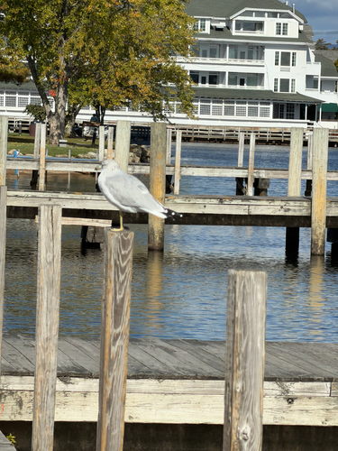


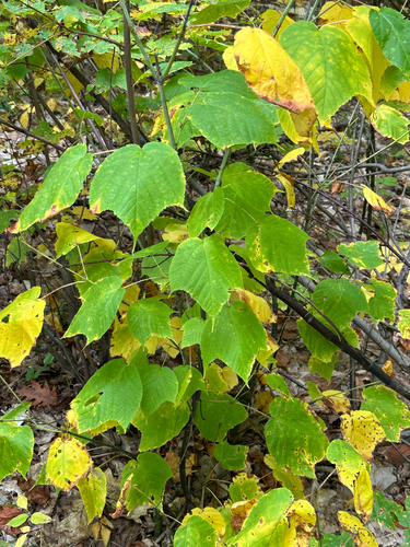
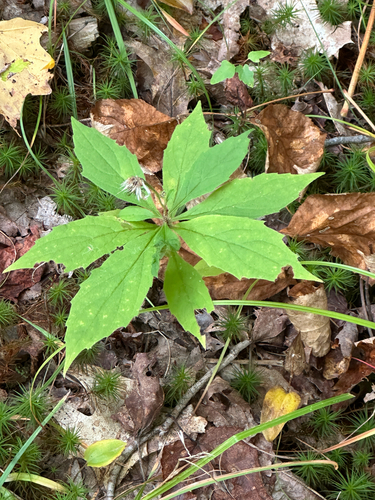
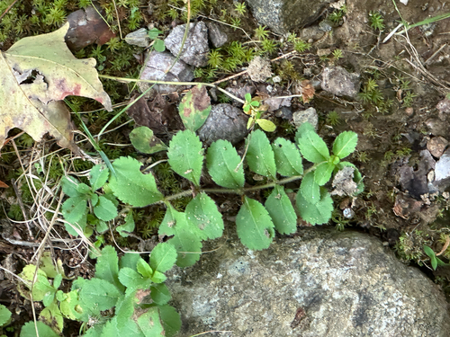
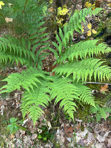
Research-grade observations from iNaturalist (within ~15 mi).
Nearest stream gauge
Events
Gallery
Sources
- • Wikipedia
- • US Census Bureau (ACS 5-year estimates)
- • NOAA National Weather Service
- • Wikidata
- • Open-Meteo Air Quality (CAMS)
- • USGS Earthquake Catalog (global feed)
- • GBIF (Global Biodiversity Information Facility)
- • iNaturalist
- • CDC PLACES
- • Open-Meteo / sunrise-sunset.org
- • Wikipedia Pageviews API
- • Open Library