Browse / United States / New Hampshire / Warner
Warner
New HampshireCDP

Warner
Total population
341
Median home value
$386,400
Bachelor's+
Median income
$47,885
Founded
1774
Demographic figures from US Census Bureau · ACS 5-year estimates. Overview below cites Wikipedia and may reference a different year.
City facts
Facts from Wikidata (CC0).
Overview
Warner is a town in Merrimack County, New Hampshire, United States. The population was 2,937 at the 2020 census. The town is home to Rollins State Park and Mount Kearsarge State Forest.
Read more on WikipediaHistory & geography
History
The town was granted in 1735 as "Number One" by Massachusetts Governor Jonathan Belcher to petitioners largely from Amesbury, Massachusetts. Called "New Amesbury", it was part of a line of settlements running between the Merrimack and Connecticut rivers intended to help defend Massachusetts against New France's predations. It was regranted by the Masonian Proprietors in 1749, when it was settled with four houses and a sawmill. Called "Jennesstown", it was abandoned and destroyed during the French and Indian War. The town was granted again in 1767 to Jonathan Barnard and others, who called it "Amesbury". But on September 3, 1774, it was incorporated as "Warner", named after Jonathan Warner, a leading Portsmouth citizen, namesake of the Warner House and relative of Governor John Wentworth. It was one of the last towns established under English provincial rule prior to the Revolution. Warner developed into a prosperous farming community which produced meats, dairy goods, vegetables, hay and apples. The Warner River and its tributaries provided water power for mills, which in 1832 included twelve sawmills, six gristmills, a paper mill and two clothing factories. By 1858, there was also a cabinet manufacturer and bottle manufacturer. In 1885, industries included a bedstead factory, chain factory, woolen cloth factory, iron foundry, tannery, and glove manufacturer. On September 9, 1821, the town was hit by a tornado. It leveled houses and forests in a swath of destruction beginning west of Lake Sunapee, through New London and Sutton, over the southwest spur of Mount Kearsarge and ending at the Webster line. The storm killed four people in Warner, seriously injured others and destroyed considerable property. Each October, on Columbus Day weekend, Warner hosts the annual…
Geography
The town is in central New Hampshire, in the western part of Merrimack County. It is by road northwest of Concord, the state capital, and southeast of the Vermont border at West Lebanon. According to the U.S. Census Bureau, the town of Warner has a total area of , of which are land and are water, comprising 0.45% of the town. The majority of Warner is drained by the Warner River, which flows past the center of town. Two covered bridges span the river: the Dalton Bridge and the Waterloo Bridge. The southwestern section of town is drained by Amey Brook and its tributary, Warner Brook, and the northernmost end of town, on the slopes of Mount Kearsarge, drains both east and west to the Blackwater River. The Warner River, Blackwater River, and Amey Brook are all tributaries of the Contoocook River, part of the Merrimack River watershed. Mount Kearsarge, elevation above sea level, located in the extreme north of the town, is the highest point in Warner and in Merrimack County. Two state parks are located on the mountain: Rollins State Park in Warner and Winslow State Park in Wilmot. Mount Kearsarge is a popular hiking destination, due both to its bare, rocky summit, and to the fact that a paved road climbs from Rollins State Park to within a half mile of the summit. The peak is the highest point along the Sunapee-Ragged-Kearsarge Greenway, a hiking trail which links ten towns and encircles the Lake Sunapee region of western New Hampshire. The town is served by Interstate 89 and New Hampshire Route 103. State routes 114 and 127 cross the extreme southwestern and southeastern corners of the town, respectively. * Andover (north) * Salisbury (northeast) * Webster (east) * Hopkinton (southeast) * Henniker (south) * Bradford (west) * Sutton (northwest) * Wilmot…
Excerpted from the corresponding Wikipedia article (CC BY-SA).
Demographics & economy
Race & ethnicity
Source: US Census Bureau — American Community Survey, 5-year estimates.
Geography
Coordinates & boundaries from the US Census TIGER/Line shapefiles.
Climate
Current forecast
Forecast for Warner, NH from NOAA NWS API.
Air quality
Industrial & pollution facilities
Natural hazard risk
Health (adults)
Age-adjusted prevalence estimates from CDC PLACES (latest release).
Walkability
Amenities nearby
Wildlife & biodiversity
Most-observed species
- Black-capped ChickadeePoecile atricapillus (Linnaeus, 1766) · Aves8,531
- Blue JayCyanocitta cristata (Linnaeus, 1758) · Aves6,855
- American CrowCorvus brachyrhynchos C.L.Brehm, 1822 · Aves6,075
- American GoldfinchSpinus tristis (Linnaeus, 1758) · Aves5,824
- Tufted TitmouseBaeolophus bicolor (Linnaeus, 1766) · Aves5,641
- American RobinTurdus migratorius Linnaeus, 1766 · Aves5,311
- Northern CardinalCardinalis cardinalis (Linnaeus, 1758) · Aves5,259
- Song SparrowMelospiza melodia (A.Wilson, 1810) · Aves5,156
Citizen-science & research observations from the Global Biodiversity Information Facility (GBIF).
Schools
Largest nearby schools
- Kearsarge Regional High SchoolHigh · North Sutton · 508 students · 10.8:1 ratio
- Kearsarge Regional Middle SchoolMiddle · North Sutton · 410 students · 10.3:1 ratio
- Henniker Community SchoolElementary · Henniker · 400 students · 11.1:1 ratio
- Hopkinton High SchoolHigh · Contoocook · 305 students · 12.2:1 ratio
- Maple Street Elementary SchoolMiddle · Contoocook · 216 students · 11.4:1 ratio
- Kearsarge Reg. Elementary School - BradfordElementary · Bradford · 169 students · 10.6:1 ratio
- Simonds Elementary SchoolElementary · Warner · 157 students · 8.3:1 ratio
- Hopkinton Middle SchoolMiddle · Contoocook · 133 students · 10.2:1 ratio
Public K–12 schools within ~10 mi from Urban Institute Education Data Portal (NCES Common Core of Data, 2022).
Earthquake history
Most recent
- M 2.6 — 2024-06-183 km SE of Haverhill, New Hampshire
- M 2.7 — 2023-12-235 km SW of Chichester, New Hampshire
- M 2.9 — 2023-04-254 km SW of Center Sandwich, New Hampshire
- M 2.7 — 2018-02-150 km SE of East Kingston, New Hampshire
- M 2.8 — 2016-03-214 km ESE of Warner, New Hampshire
- M 2.61 — 2013-10-11New Hampshire
Events from the USGS Earthquake Catalog (global) (FDSN Event Web Service).
Photos
Sights & places nearby
Notable people from here


People born within ~10 km, from Wikidata (CC0). Click any name for their Wikipedia article.
Nearby places in New Hampshire
- Contoocook6.7 mi away
- Bradford7 mi away
- Henniker7.1 mi away
- New London12.2 mi away
- Hillsborough12.2 mi away · pop. 1,616
- Blodgett Landing12.5 mi away
- Concord13.7 mi away · pop. 43,976
- Franklin14 mi away
- Tilton Northfield16.1 mi away · pop. 3,101
- Antrim17.8 mi away · pop. 1,265
- Loudon18.1 mi away
- Newport18.6 mi away
Geography & sun
Elevation, sunrise/sunset and daylight from Open-Meteo. Solar climatology from NASA POWER.
Nearby airports
Public attention
Pageview totals from the Wikimedia Pageviews API.
Books about Warner
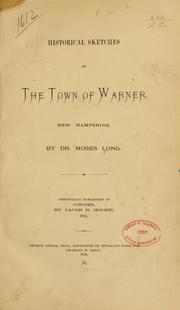


Search results from Open Library.
Recent natural events nearby
Ground air-quality sensors
Recently spotted species
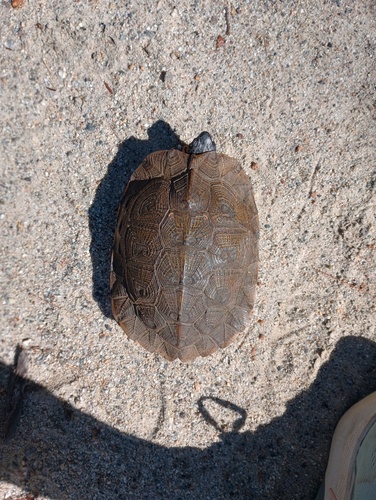
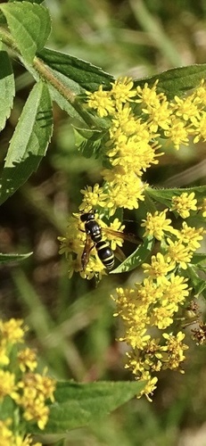
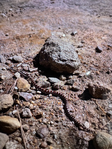
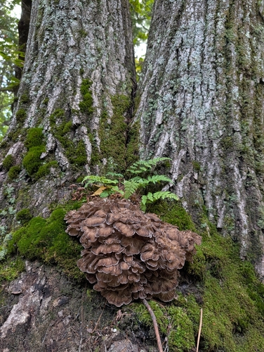
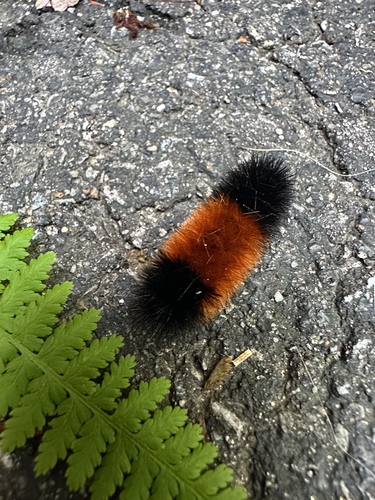
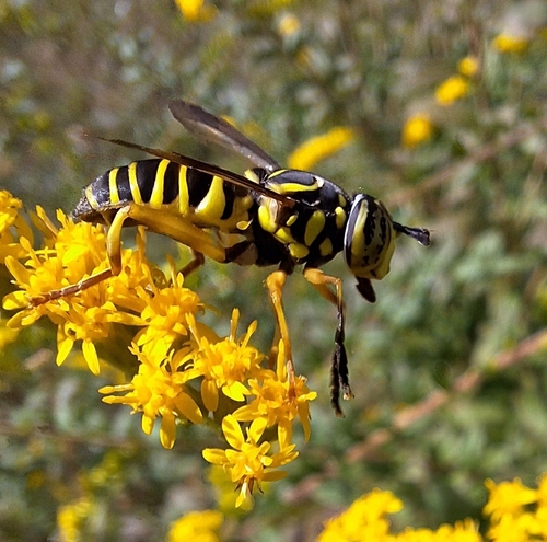
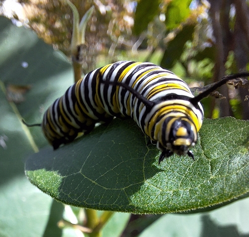
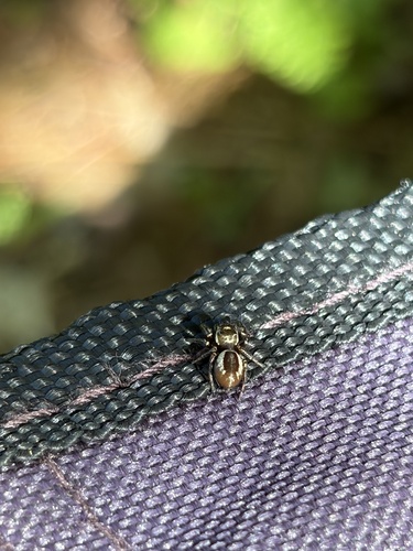
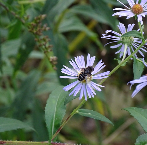
Research-grade observations from iNaturalist (within ~15 mi).
Nearest stream gauge
Live readings from USGS NWIS · measured 2026-09-17 15:30 UTC.
Events
Gallery
Sources
- • Wikipedia
- • US Census Bureau (ACS 5-year estimates)
- • NOAA National Weather Service
- • Wikidata
- • USGS Earthquake Catalog (global feed)
- • USGS NWIS (water data)
- • NCES via Urban Institute Education Data Portal
- • GBIF (Global Biodiversity Information Facility)
- • iNaturalist
- • CDC PLACES
- • Open-Meteo / sunrise-sunset.org
- • Wikipedia Pageviews API
- • Open Library