Browse / United States / New Hampshire / Newport
Newport
New HampshireCDP

Newport
Total population
4,758
Founded
1761
Demographic figures from US Census Bureau · ACS 5-year estimates. Overview below cites Wikipedia and may reference a different year.
City facts
Facts from Wikidata (CC0).
Overview
Newport is a town in and the county seat of Sullivan County, New Hampshire, United States. It is 43 miles (69 km) west-northwest of Concord, the state capital. The population of Newport was 6,299 at the 2020 census. A covered bridge is in the northwest. The area is noted for maple sugar and apple orchards. Prior to county division in 1827, Newport was in Cheshire County. The central part of town, where 4,735 people resided at the 2020 census, is defined as the Newport census-designated place (CDP) and is located next to the Sugar River at the junction of New Hampshire routes 10 and 11. The town also includes the villages of Kelleyville, Guild, and North Newport.
Read more on WikipediaHistory & geography
History
Granted in 1753 by colonial governor Benning Wentworth, the town was named "Grenville" after George Grenville, Prime Minister of Great Britain and brother-in-law of William Pitt. But ongoing hostilities during the French and Indian War, as close as the Fort at Number 4 at Charlestown, delayed settlement. Nevertheless, in 1761 the town was incorporated as "Newport", for Henry Newport, a distinguished English soldier and statesman. It was first settled in 1763 by pioneers from North Killingworth, Connecticut. Absalom Kelsey was one of the earliest settlers, on what became later the D.F. Pike farm at the foot of Claremont Hill. At that time, the Connecticut River was the only route for travel, until a road was cut through the wilderness to Charlestown in 1767. The following year, the first gristmill was established. But dissatisfied with treatment by the state government far beyond the mountains, Newport in 1781 joined 33 other towns along the Connecticut River and seceded from New Hampshire to join Vermont. George Washington, however, dissolved their union with Vermont in 1782, and the towns rejoined New Hampshire. With excellent soil for farming, and abundant water power from the Sugar River and its South Branch to run mills, Newport grew prosperous. The first cotton mill was established by Colonel James D. Wolcott in 1813. Local cabinet making flourished, producing much fine furniture. In 1817, perhaps inspired by the Erie Canal, businessmen proposed digging a canal to connect the Connecticut and Merrimack rivers—beginning with the Sugar River, and using its source, Lake Sunapee, as a reservoir. The plan was abandoned before it got started. In 1871, the Sugar River Railroad connected to Newport from Bradford. But the Sugar River was recognized as central to…
Geography
According to the United States Census Bureau, the town has a total area of , of which are land and are water, comprising 0.16% of the town. |source 2 = National Weather Service }}
Excerpted from the corresponding Wikipedia article (CC BY-SA).
Demographics & economy
Geography
Coordinates & boundaries from the US Census TIGER/Line shapefiles.
Climate
Current forecast
Forecast for Newport, NH from NOAA NWS API.
Air quality
Industrial & pollution facilities
Natural hazard risk
Health (adults)
Walkability
Amenities nearby
Wildlife & biodiversity
Most-observed species
- Black-capped ChickadeePoecile atricapillus (Linnaeus, 1766) · Aves8,844
- American CrowCorvus brachyrhynchos C.L.Brehm, 1822 · Aves7,714
- Blue JayCyanocitta cristata (Linnaeus, 1758) · Aves7,114
- American RobinTurdus migratorius Linnaeus, 1766 · Aves5,604
- Song SparrowMelospiza melodia (A.Wilson, 1810) · Aves5,523
- Northern CardinalCardinalis cardinalis (Linnaeus, 1758) · Aves5,348
- American GoldfinchSpinus tristis (Linnaeus, 1758) · Aves5,299
- Tufted TitmouseBaeolophus bicolor (Linnaeus, 1766) · Aves5,024
Citizen-science & research observations from the Global Biodiversity Information Facility (GBIF).
Schools
Earthquake history
Most recent
- M 2.6 — 2024-06-183 km SE of Haverhill, New Hampshire
- M 2.7 — 2023-12-235 km SW of Chichester, New Hampshire
- M 2.9 — 2023-04-254 km SW of Center Sandwich, New Hampshire
- M 2.8 — 2016-03-214 km ESE of Warner, New Hampshire
- M 2.61 — 2013-10-11New Hampshire
- M 2.51 — 2011-07-084 km NE of Newbury, Vermont
Events from the USGS Earthquake Catalog (global) (FDSN Event Web Service).
Photos
Sights & places nearby
Notable people from here


People born within ~10 km, from Wikidata (CC0). Click any name for their Wikipedia article.
Nearby places in New Hampshire
- Blodgett Landing6.9 mi away
- Claremont8.1 mi away
- New London10.2 mi away
- Bradford12.6 mi away
- Plainfield14.7 mi away · pop. 220
- Charlestown15.3 mi away · pop. 659
- Warner18.6 mi away · pop. 341
- Lebanon19.1 mi away · pop. 14,999
- Enfield19.3 mi away · pop. 1,994
- North Walpole20.3 mi away · pop. 513
- Canaan21.3 mi away
- Henniker22 mi away
Geography & sun
Elevation, sunrise/sunset and daylight from Open-Meteo. Solar climatology from NASA POWER.
Nearby airports
Public attention
Pageview totals from the Wikimedia Pageviews API.
Books about Newport
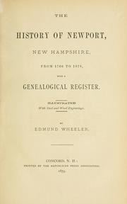


Search results from Open Library.
Recent natural events nearby
Ground air-quality sensors
Recently spotted species

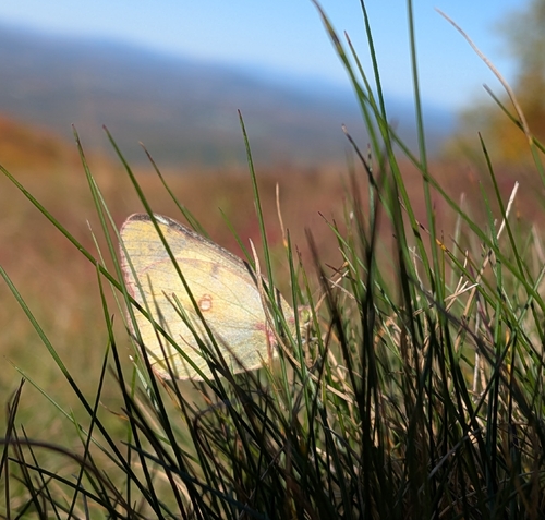
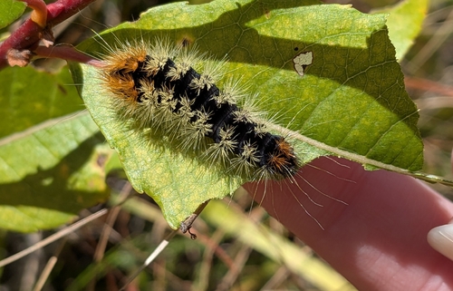
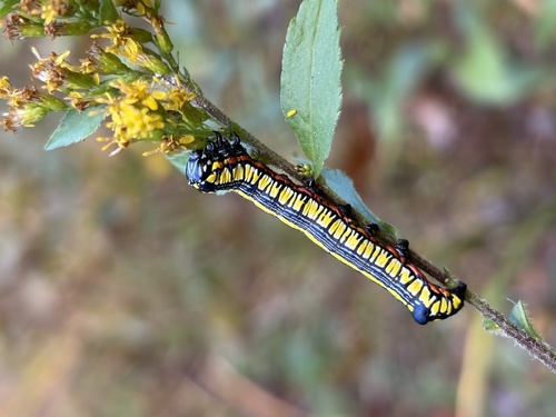
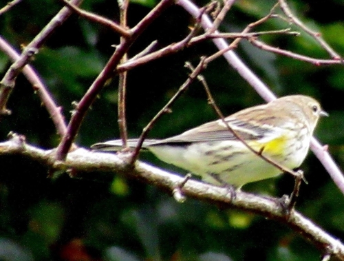
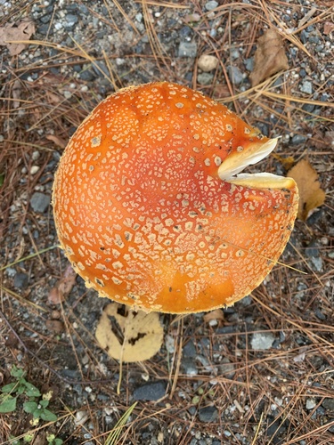
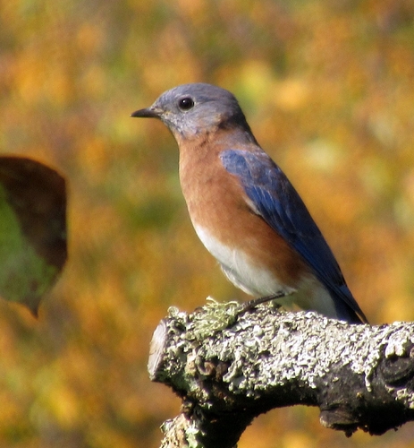
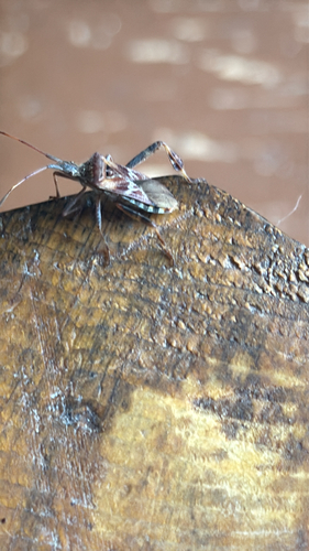
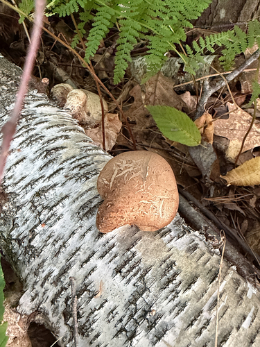
Research-grade observations from iNaturalist (within ~15 mi).
Nearest stream gauge
Live readings from USGS NWIS · measured 2026-10-08 10:00 UTC.
Events
Gallery
Sources
- • Wikipedia
- • NOAA National Weather Service
- • Wikidata
- • USGS Earthquake Catalog (global feed)
- • USGS NWIS (water data)
- • GBIF (Global Biodiversity Information Facility)
- • iNaturalist
- • Open-Meteo / sunrise-sunset.org
- • Wikipedia Pageviews API
- • Open Library