Browse / United States / New Hampshire / Lebanon
Lebanon
New Hampshirecity

Lebanon
Total population
14,999
Median home value
$385,400
Bachelor's+
Median income
$98,147
Founded
1761
Demographic figures from US Census Bureau · ACS 5-year estimates. Overview below cites Wikipedia and may reference a different year.
City facts
Facts from Wikidata (CC0).
Overview
Lebanon is the only city in Grafton County, New Hampshire, United States. The population was 14,282 at the 2020 census, up from 13,151 at the 2010 census. Lebanon is in western New Hampshire, south of Hanover, near the Connecticut River. It is the home to Dartmouth–Hitchcock Medical Center and Dartmouth College's Geisel School of Medicine, together comprising the largest medical facility between Boston, Massachusetts, and Burlington, Vermont.
Read more on WikipediaHistory & geography
History
Lebanon was chartered as a town by colonial governor Benning Wentworth on July 4, 1761, one of 16 along the Connecticut River. It was named for Lebanon, Connecticut, from where many early settlers had come or would come, including the Reverend Eleazar Wheelock, who arrived in 1770 and founded Dartmouth College. Lebanon, Connecticut, was the original home of Moor's Charity School, the antecedent of Dartmouth College. Early settlement concentrated along the Connecticut River in what is now West Lebanon, and in the Mascoma Lake region near Enfield. In the mid-19th century, a mill district developed at falls on the Mascoma River. Industries included, at various times, furniture mills, a tannery, several machine shops, a woolen textile mill, and a clothing factory. In the mid-19th century, this district attracted many French workers from Canada's Quebec province. This became the center of town, although West Lebanon grew into a railroad hub with a separate identity after lines entered from Boston. This rail center would become known as "Westboro" after two trains collided when West Lebanon was mistaken for Lebanon. The mill district, like the railroad, declined into the 1950s and 1960s. The town suffered two major fires; the second, in 1964, destroyed a large portion of the old mill district. Reconstruction resulted in a controversial urban renewal project featuring a closed-off district, called The Mall, built to replace the destroyed Hanover Street area. Partly in defiance of economic decline, and partly to counter a movement by West Lebanon to declare itself an independent town, Lebanon re-incorporated as a city in 1958. The routing of Interstates 89 and 91 through Lebanon and nearby White River Junction, Vermont, in addition to the growth of Dartmouth College, led to…
Geography
According to the United States Census Bureau, the city has a total area of , of which are land and are water, comprising 2.35% of the city. The western boundary of Lebanon is the Connecticut River, which is also the state boundary with Vermont. The village of West Lebanon occupies the western part of the city, along the Connecticut River. Downtown Lebanon is to the east, along the Mascoma River, a tributary of the Connecticut. The city is fully within the Connecticut River watershed. The southern end of Moose Mountain is in the northeast. The highest point in Lebanon is the northern end of Shaker Mountain, at above sea level, on the eastern border of the city. According to the Köppen Climate Classification system, Lebanon has a warm-summer humid continental climate, abbreviated "Dfb" on climate maps. The hottest temperature recorded in Lebanon was on June 24, 2025, while the coldest temperature recorded was on January 14, 1957. |source 2 = National Weather Service }}
Excerpted from the corresponding Wikipedia article (CC BY-SA).
Demographics & economy
Race & ethnicity
Source: US Census Bureau — American Community Survey, 5-year estimates.
Geography
Coordinates & boundaries from the US Census TIGER/Line shapefiles.
Climate
Current forecast
Forecast for Lebanon, NH from NOAA NWS API.
Air quality
Industrial & pollution facilities
Natural hazard risk
Health (adults)
Age-adjusted prevalence estimates from CDC PLACES (latest release).
Walkability
Amenities nearby
Wildlife & biodiversity
Most-observed species
- American CrowCorvus brachyrhynchos C.L.Brehm, 1822 · Aves24,103
- Black-capped ChickadeePoecile atricapillus (Linnaeus, 1766) · Aves23,673
- Blue JayCyanocitta cristata (Linnaeus, 1758) · Aves20,162
- Northern CardinalCardinalis cardinalis (Linnaeus, 1758) · Aves16,767
- American GoldfinchSpinus tristis (Linnaeus, 1758) · Aves16,550
- American RobinTurdus migratorius Linnaeus, 1766 · Aves15,682
- Song SparrowMelospiza melodia (A.Wilson, 1810) · Aves14,598
- Tufted TitmouseBaeolophus bicolor (Linnaeus, 1766) · Aves13,917
Citizen-science & research observations from the Global Biodiversity Information Facility (GBIF).
Schools
Earthquake history
Most recent
- M 2.6 — 2024-06-183 km SE of Haverhill, New Hampshire
- M 2.7 — 2023-12-235 km SW of Chichester, New Hampshire
- M 2.9 — 2023-04-254 km SW of Center Sandwich, New Hampshire
- M 2.8 — 2016-03-214 km ESE of Warner, New Hampshire
- M 2.61 — 2013-10-11New Hampshire
- M 2.51 — 2011-07-084 km NE of Newbury, Vermont
Events from the USGS Earthquake Catalog (global) (FDSN Event Web Service).
Photos
Sights & places nearby
Notable people from here


People born within ~10 km, from Wikidata (CC0). Click any name for their Wikipedia article.
Nearby places in New Hampshire
- Enfield5.4 mi away · pop. 1,994
- Hanover5.4 mi away · pop. 8,479
- Plainfield8.6 mi away · pop. 220
- Canaan11.9 mi away
- Claremont17.7 mi away
- Newport19.1 mi away
- New London20.3 mi away
- Blodgett Landing20.9 mi away
- Bristol26.1 mi away
- Plymouth28.5 mi away · pop. 4,969
- Charlestown28.9 mi away · pop. 659
- Bradford29.1 mi away
Geography & sun
Elevation, sunrise/sunset and daylight from Open-Meteo. Solar climatology from NASA POWER.
Nearby airports
Public attention
Pageview totals from the Wikimedia Pageviews API.
Books about Lebanon
Search results from Open Library.
Recent natural events nearby
Ground air-quality sensors
Recently spotted species
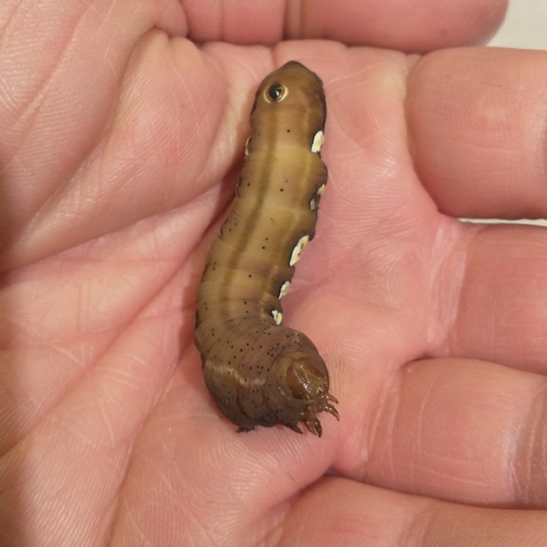
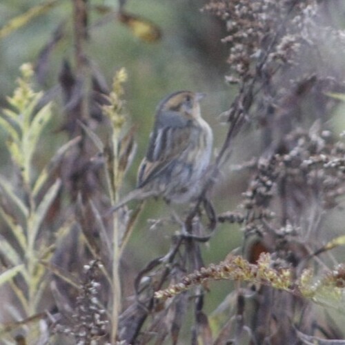
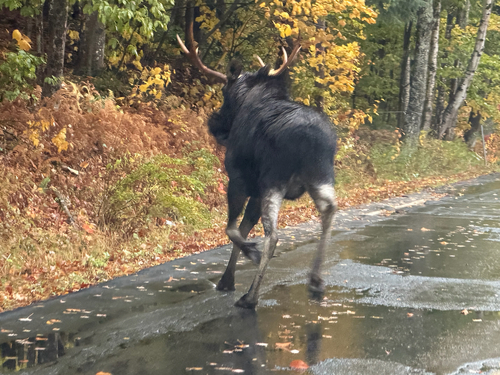
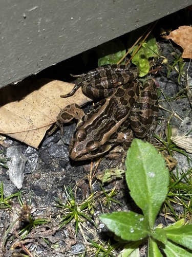

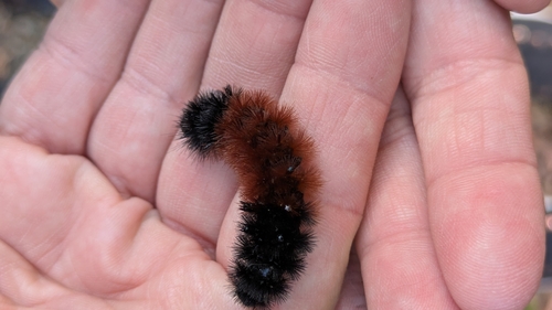
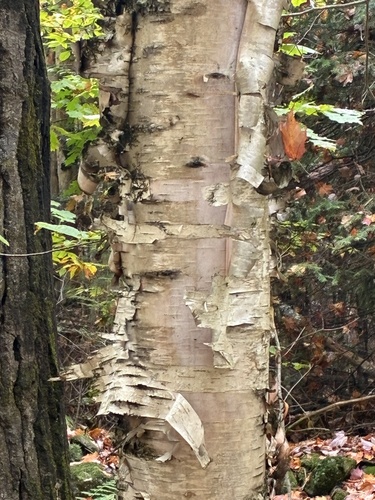
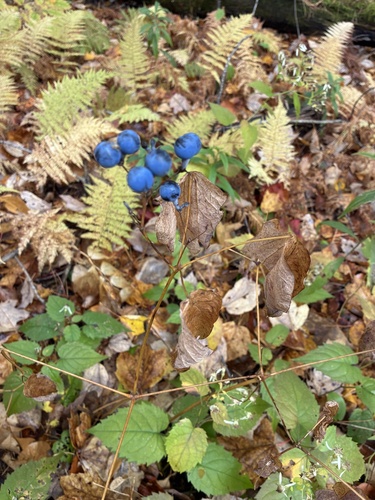
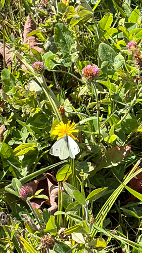
Research-grade observations from iNaturalist (within ~15 mi).
Nearest stream gauge
Live readings from USGS NWIS · measured 2026-10-06 07:30 UTC.
Events
Gallery
Sources
- • Wikipedia
- • US Census Bureau (ACS 5-year estimates)
- • NOAA National Weather Service
- • Wikidata
- • USGS Earthquake Catalog (global feed)
- • USGS NWIS (water data)
- • GBIF (Global Biodiversity Information Facility)
- • iNaturalist
- • CDC PLACES
- • Open-Meteo / sunrise-sunset.org
- • Wikipedia Pageviews API
- • Open Library