Browse / United States / New Jersey / Clifton
Clifton
New Jerseycity

Clifton
Total population
90,315
Median home value
$483,800
Bachelor's+
Median income
$86,591
Demographic figures from US Census Bureau · ACS 5-year estimates. Overview below cites Wikipedia and may reference a different year.
City facts
Facts from Wikidata (CC0).
Overview
Clifton is a city in Passaic County, in the U.S. state of New Jersey. Criss-crossed by several major highways, the city is a regional commercial hub for North Jersey, and bedroom suburb of New York City, in the New York Metropolitan Area. As of the 2020 United States Census, the city retained its position as the state's 11th-most-populous municipality, just behind tenth-ranked Trenton, and well ahead of Cherry Hill in twelfth place, with a population of 90,296, reflecting an overall increase of 6,160 (+7.3%) from the 2010 census count of 84,136, which in turn reflected an overall increase of 5,464 (+6.9%) from the 78,672 counted in the 2000 census. The Population Estimates Program calculated a population of 88,461 for 2023, making Clifton the 394th-most populous municipality in the nation.
Read more on WikipediaHistory & geography
History
The City of Clifton turned 100 years old in April 2017, but documented European settlements in the area date back to 1679, when a leader of the Lenape Native Americans gave a deed for along the shores of the Passaic River to Hans Frederick. The name "Clifton" was derived from the cliffs of Garrett Mountain, which borders the Albion Place neighborhood in the western part of the city. From 1900 to 1979, the Clifton Animal Quarantine Station inspected more than 95% of cloven-hooved animals entering the United States from abroad and was the only facility of its kind on the East Coast. Animals quarantined there included antelopes, giraffes, camels, sheep, and musk oxen. After the station closed, two of its former barns were converted into the Clifton Arts Center and are listed on the National Register of Historic Places. Although Clifton has long converted from farmlands to suburban neighborhoods, given its close proximity to Manhattan, the city still has three small working farms that sell fresh and organic vegetables in-season: * Ploch's Farm is a family-run farm since 1867. The farm is still in operation as Clifton's last remaining farm. Ploch's Farm is open seasonally selling fruits and vegetables during the months of August and September. * City Green Farm Eco Center is an organic farm and 501(c)3 non-profit focused on promoting urban farming and education since 2011. The property, which was the site of the Schultheis Farm, was acquired by the city in 2005 for permanent preservation as open space. * Richfield Farms is a family-run farm and garden center since 1917, which had escaped redevelopment efforts in 2018.
Geography
According to the United States Census Bureau, the city had a total area of 11.43 square miles (29.60 km2), including 11.27 square miles (29.19 km2) of land and 0.16 square miles (0.41 km2) of water (1.37%). * Albion Place – mostly residential, and adjacent to Garret Mountain Reservation in the northwestern corner of the city; * Allwood – the other main "business district" in the city, along its main highway, State Route 3; * Athenia – one of the more centrally located neighborhoods in the city, as well as home to one of the city's two train stations, and adjacent to the 3rd Ward Park neighborhood in Passaic; * Botany Village – the northernmost neighborhood in the city, historically containing European ethnic groups, but mostly populated by Hispanic/Latino immigrants in recent years; * Delawanna – home to one of the two train stations locally, in the southeastern corner of the city, and adjacent to Nutley/the 3rd Ward Park neighborhood in Passaic; * Dutch Hill – mostly residential, and largely situated near downtown and one of the two local train stations; * Lakeview – shares its name with the adjacent neighborhood in Paterson, along the western edge of the city, and mostly populated by Arabic and Hispanic/Latino residents; * Main Mall – largely considered the main "downtown" section of the city; * Montclair Heights – one of the wealthiest neighborhoods locally, adjacent to both Montclair State University, as well as Upper Montclair, in the southwestern corner of the city; * Richfield – another of the more centrally located neighborhoods in the city, along with Athenia; * Rosemawr – largely residential and wealthier, falling partially within Allwood, and home to an Orthodox Jewish community associated with a neighboring one in the city of Passaic, with…
Excerpted from the corresponding Wikipedia article (CC BY-SA).
Demographics & economy
Race & ethnicity
Source: US Census Bureau — American Community Survey, 5-year estimates.
Geography
Coordinates & boundaries from the US Census TIGER/Line shapefiles.
Climate
Current forecast
Forecast for Clifton, NJ from NOAA NWS API.
Air quality
Industrial & pollution facilities
Natural hazard risk
Health (adults)
Age-adjusted prevalence estimates from CDC PLACES (latest release).
Walkability
Amenities nearby
Wildlife & biodiversity
Most-observed species
- House SparrowPasser domesticus (Linnaeus, 1758) · Aves136,347
- American RobinTurdus migratorius Linnaeus, 1766 · Aves131,123
- European StarlingSturnus vulgaris Linnaeus, 1758 · Aves109,808
- Mourning DoveZenaida macroura (Linnaeus, 1758) · Aves107,292
- Blue JayCyanocitta cristata (Linnaeus, 1758) · Aves106,967
- Northern CardinalCardinalis cardinalis (Linnaeus, 1758) · Aves106,374
- Rock PigeonColumba livia J.F.Gmelin, 1789 · Aves97,739
- White-throated SparrowZonotrichia albicollis (J.F.Gmelin, 1789) · Aves92,636
Citizen-science & research observations from the Global Biodiversity Information Facility (GBIF).
Schools
Largest nearby schools
- Passaic County Technical InstituteHigh · WAYNE · 3,359 students · 11.7:1 ratio
- Clifton High SchoolHigh · CLIFTON · 3,059 students · 13.9:1 ratio
- Passaic High School No. 12High · Passaic · 2,596 students · 15.3:1 ratio
- Eastside High SchoolHigh · PATERSON · 2,323 students · 17.5:1 ratio
- John F. Kennedy High SchoolHigh · PATERSON · 2,053 students · 14.6:1 ratio
- Passaic Arts and Science Charter SchoolOther · Passaic · 1,946 students · 15.4:1 ratio
- College Achieve Paterson Charter SchoolOther · Paterson · 1,305 students · 19.2:1 ratio
- Wayne Valley High SchoolHigh · WAYNE · 1,241 students · 10.7:1 ratio
Public K–12 schools within ~10 mi from Urban Institute Education Data Portal (NCES Common Core of Data, 2022).
Earthquake history
Most recent
- M 2.8 — 2025-08-051 km N of Hillsdale, New Jersey
- M 3 — 2025-08-030 km W of Little Ferry, New Jersey
- M 2.9 — 2024-05-246 km E of Califon, New Jersey
- M 2.6 — 2024-05-011 km NW of Gladstone, New Jersey
- M 2.9 — 2024-04-277 km WSW of Gladstone, New Jersey
- M 2.6 — 2024-04-105 km WSW of Gladstone, New Jersey
Events from the USGS Earthquake Catalog (global) (FDSN Event Web Service).
Photos
Sights & places nearby
Notable people from here


People born within ~10 km, from Wikidata (CC0). Click any name for their Wikipedia article.
Nearby places in New Jersey
- Passaic1.7 mi away · pop. 70,537
- Montclair State University2 mi away · pop. 2,853
- Brookdale2.2 mi away · pop. 9,960
- Upper Montclair2.5 mi away
- Great Notch2.6 mi away · pop. 4,008
- Wallington2.9 mi away
- Garfield3 mi away · pop. 32,783
- Paterson3.6 mi away · pop. 160,446
- Wood-Ridge3.9 mi away
- Totowa4.2 mi away
- Lodi4.2 mi away · pop. 26,082
- Hasbrouck Heights4.5 mi away
Geography & sun
Elevation, sunrise/sunset and daylight from Open-Meteo. Solar climatology from NASA POWER.
Nearby airports
Public attention
Pageview totals from the Wikimedia Pageviews API.
Books about Clifton
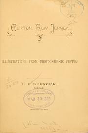
Search results from Open Library.
Recent natural events nearby
Ground air-quality sensors
Recently spotted species
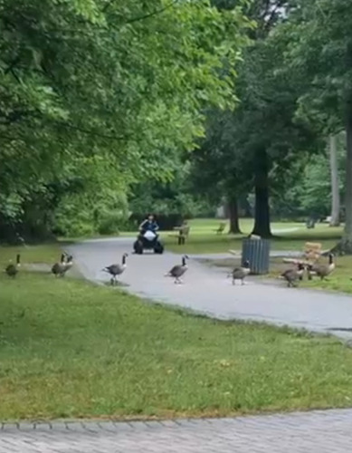
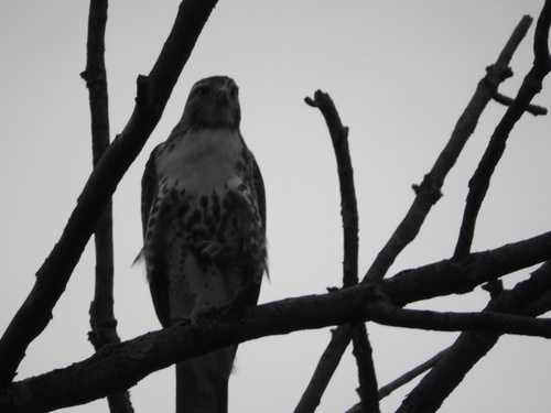
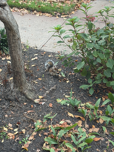
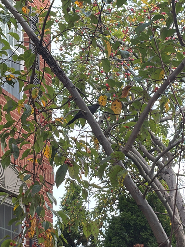
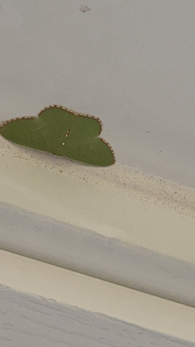
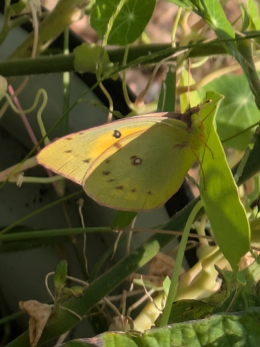
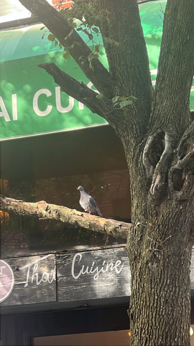
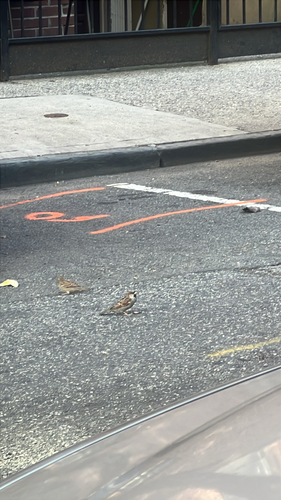
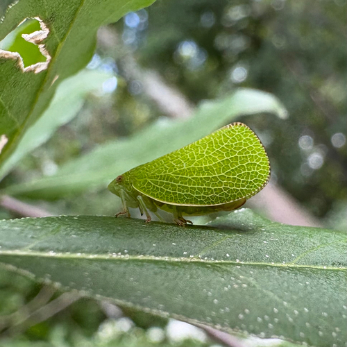
Research-grade observations from iNaturalist (within ~15 mi).
Nearest stream gauge
Live readings from USGS NWIS · measured 2026-10-16 18:15 UTC.
Events
Gallery
Sources
- • Wikipedia
- • US Census Bureau (ACS 5-year estimates)
- • NOAA National Weather Service
- • Wikidata
- • USGS Earthquake Catalog (global feed)
- • USGS NWIS (water data)
- • NCES via Urban Institute Education Data Portal
- • GBIF (Global Biodiversity Information Facility)
- • iNaturalist
- • CDC PLACES
- • Open-Meteo / sunrise-sunset.org
- • Wikipedia Pageviews API
- • Open Library