Browse / United States / New Jersey / Paterson
Paterson
New Jerseycity

Paterson
Total population
160,446
Median home value
$387,400
Bachelor's+
Median income
$60,703
Founded
1792
Demographic figures from US Census Bureau · ACS 5-year estimates. Overview below cites Wikipedia and may reference a different year.
City facts
Facts from Wikidata (CC0).
Overview
Paterson is the largest city in and the county seat of Passaic County, in the U.S. state of New Jersey. As of the 2020 United States census, Paterson was the state's third-most-populous municipality, with a population of 159,732, an increase of 13,533 (+9.3%) from the 2010 census count of 146,199, which in turn reflected a decline of 3,023 (-2.0%) from the 149,222 counted in the 2000 census. The Census Bureau's Population Estimates Program calculated a population of 161,793 for 2025, making it the 165th-most populous municipality in the nation.
Read more on WikipediaHistory & geography
History
The area of Paterson was inhabited by the Algonquian-speaking Native American Acquackanonk tribe of the Lenape, also known as the Delaware Indians. The land was known as the Lenapehoking. The Dutch claimed the land as New Netherlands, followed by the British as the Province of New Jersey. In 1791, Alexander Hamilton (1755/57–1804), first United States Secretary of the Treasury, helped found the Society for Establishing Useful Manufactures (S.U.M.), which helped encourage the harnessing of energy from the Great Falls of the Passaic River to secure economic independence from British manufacturers. The society founded Paterson, which became the cradle of the Industrial Revolution in America. Paterson was named for William Paterson, statesman, signer of the Constitution and Governor of New Jersey, who signed the 1792 charter that established the Town of Paterson. Architect, engineer and city planner Pierre L'Enfant (1754–1825), who had earlier developed the initial plans for Washington, D.C., was the first planner for the S.U.M. project. His plan proposed to harness the power of the Great Falls through a channel in the rock and an aqueduct. The society's directors felt he was taking too long and was over budget; he was replaced by Peter Colt, who used a less complicated reservoir system to get the water flowing to factories in 1794. Eventually, Colt's system developed some problems and a scheme resembling L'Enfant's original plan was used after 1846. Paterson was originally formed as a township from portions of Acquackanonk Township on April 11, 1831, while the area was still part of Essex County. It became part of the newly created Passaic County on February 7, 1837, and was incorporated as a city on April 14, 1851, based on the results of a referendum held that day.…
Geography
Paterson is in the southern part of Passaic County, which is near the northern edge of New Jersey, as a county that spans some hilly areas and has dozens of lakes. The county covers a region about . The region is split by major roads, including portions of Interstate 80, which runs through Paterson (see map at left). The Garden State Parkway cuts across the south of Paterson, near Clifton. The Passaic River winds northeast past Totowa into Paterson, where the river then turns south to Passaic town, on the way to Newark, further south. According to the U.S. Census Bureau, the city had a total area of 8.71 square miles (22.55 km2), including 8.41 square miles (21.79 km2) of land and 0.29 square miles (0.76 km2) of water (3.38%). Unincorporated communities, localities and place names located partially or completely within the city include Riverside and Totowa. The city borders the municipalities of Clifton, Haledon, Hawthorne, Prospect Park, Totowa and Woodland Park (formerly West Paterson) in Passaic County; and both Elmwood Park (formerly East Paterson) and Fair Lawn in Bergen County. Downtown Paterson is the main commercial district of the city and was once a shopping destination for many who lived in North Jersey. After a devastating fire in 1902, the city rebuilt the downtown with massive Beaux-Arts-style buildings, many of which remain to this day. These buildings are usually four to seven stories tall. Downtown Paterson is home to Paterson City Hall and the Passaic County Courthouse Annex, two of the city's architectural landmarks. City Hall was designed by the New York firm Carrere and Hastings in 1894, and was modeled after the Hôtel de Ville (city hall) in Lyon, France, capital of the silk industry in Europe. The former Orpheum Theatre…
Excerpted from the corresponding Wikipedia article (CC BY-SA).
Demographics & economy
Race & ethnicity
Source: US Census Bureau — American Community Survey, 5-year estimates.
Geography
Coordinates & boundaries from the US Census TIGER/Line shapefiles.
Climate
Current forecast
Forecast for Paterson, NJ from NOAA NWS API.
Air quality
Industrial & pollution facilities
Natural hazard risk
Health (adults)
Age-adjusted prevalence estimates from CDC PLACES (latest release).
Walkability
Amenities nearby
Wildlife & biodiversity
Most-observed species
- American RobinTurdus migratorius Linnaeus, 1766 · Aves116,244
- House SparrowPasser domesticus (Linnaeus, 1758) · Aves106,926
- Blue JayCyanocitta cristata (Linnaeus, 1758) · Aves103,413
- Northern CardinalCardinalis cardinalis (Linnaeus, 1758) · Aves102,432
- Mourning DoveZenaida macroura (Linnaeus, 1758) · Aves94,921
- European StarlingSturnus vulgaris Linnaeus, 1758 · Aves88,186
- Canada Goose (canadensis Group)Branta canadensis (Linnaeus, 1758) · Aves82,251
- MallardAnas platyrhynchos Linnaeus, 1758 · Aves82,230
Citizen-science & research observations from the Global Biodiversity Information Facility (GBIF).
Schools
Largest nearby schools
- Passaic County Technical InstituteHigh · WAYNE · 3,359 students · 11.7:1 ratio
- Clifton High SchoolHigh · CLIFTON · 3,059 students · 13.9:1 ratio
- Passaic High School No. 12High · Passaic · 2,596 students · 15.3:1 ratio
- Eastside High SchoolHigh · PATERSON · 2,323 students · 17.5:1 ratio
- John F. Kennedy High SchoolHigh · PATERSON · 2,053 students · 14.6:1 ratio
- Passaic Arts and Science Charter SchoolOther · Passaic · 1,946 students · 15.4:1 ratio
- College Achieve Paterson Charter SchoolOther · Paterson · 1,305 students · 19.2:1 ratio
- Wayne Valley High SchoolHigh · WAYNE · 1,241 students · 10.7:1 ratio
Public K–12 schools within ~10 mi from Urban Institute Education Data Portal (NCES Common Core of Data, 2022).
Earthquake history
Most recent
- M 2.8 — 2025-08-051 km N of Hillsdale, New Jersey
- M 3 — 2025-08-030 km W of Little Ferry, New Jersey
- M 2.9 — 2024-05-246 km E of Califon, New Jersey
- M 2.6 — 2024-05-011 km NW of Gladstone, New Jersey
- M 2.9 — 2024-04-277 km WSW of Gladstone, New Jersey
- M 2.6 — 2024-04-105 km WSW of Gladstone, New Jersey
Events from the USGS Earthquake Catalog (global) (FDSN Event Web Service).
Photos
Sights & places nearby
Notable people from here


People born within ~10 km, from Wikidata (CC0). Click any name for their Wikipedia article.
Nearby places in New Jersey
- Haledon2.1 mi away · pop. 8,980
- William Paterson University of New Jersey2.8 mi away
- Hawthorne2.9 mi away · pop. 19,628
- Totowa3.1 mi away
- North Haledon3.6 mi away · pop. 8,778
- Clifton3.6 mi away · pop. 90,315
- Garfield3.7 mi away · pop. 32,783
- Glen Rock3.7 mi away · pop. 12,154
- Great Notch3.8 mi away · pop. 4,008
- Montclair State University3.9 mi away · pop. 2,853
- Singac4.7 mi away
- Lodi4.9 mi away · pop. 26,082
Geography & sun
Elevation, sunrise/sunset and daylight from Open-Meteo. Solar climatology from NASA POWER.
Nearby airports
Public attention
Pageview totals from the Wikimedia Pageviews API.
Books about Paterson


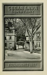
Search results from Open Library.
Recent natural events nearby
Ground air-quality sensors
Recently spotted species
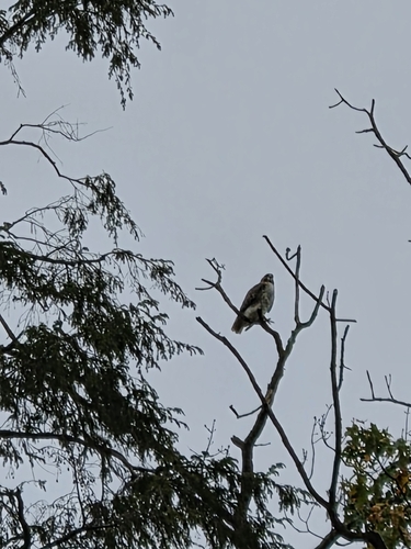
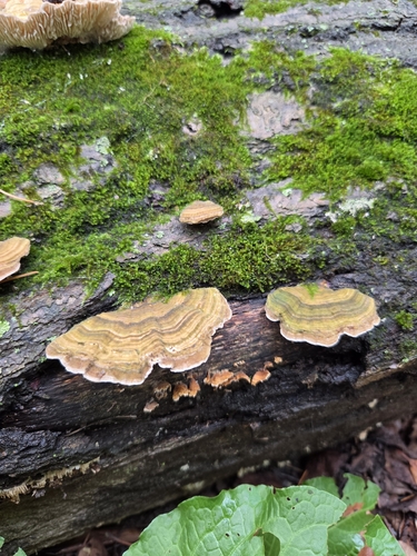
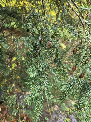
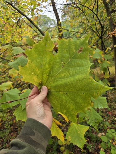
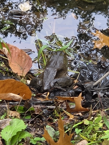
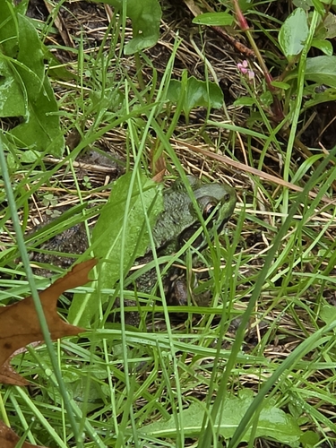
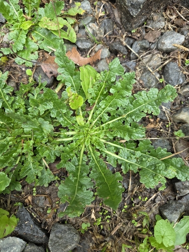
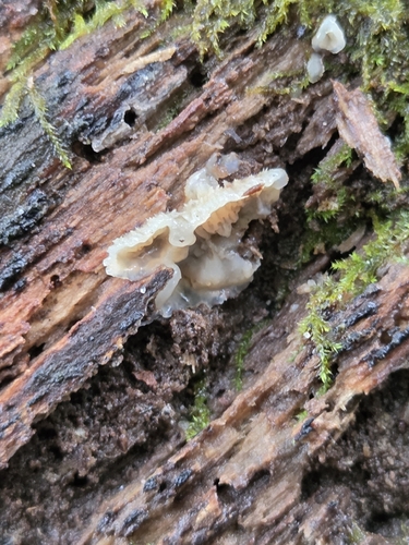
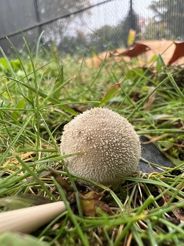
Research-grade observations from iNaturalist (within ~15 mi).
Nearest stream gauge
Live readings from USGS NWIS · measured 2026-10-17 00:15 UTC.
Events
Notable, recurring, and historical events associated with Paterson, sourced from Wikidata.
- 99th National Puzzlers' League conventionFeb 1, 1933recurring event edition
Source: Wikidata (CC0).
Gallery
Sources
- • Wikipedia
- • US Census Bureau (ACS 5-year estimates)
- • NOAA National Weather Service
- • Wikidata
- • USGS Earthquake Catalog (global feed)
- • USGS NWIS (water data)
- • NCES via Urban Institute Education Data Portal
- • GBIF (Global Biodiversity Information Facility)
- • iNaturalist
- • CDC PLACES
- • Open-Meteo / sunrise-sunset.org
- • Wikipedia Pageviews API
- • Open Library