Browse / United States / New Jersey / Egg Harbor City
Egg Harbor City
New Jerseycity

Egg Harbor City
Total population
4,400
Median home value
$197,100
Bachelor's+
Median income
$71,711
Demographic figures from US Census Bureau · ACS 5-year estimates. Overview below cites Wikipedia and may reference a different year.
- Coastal Flood Warning · SevereCoastal Flood Warning issued September 23 at 4:28AM EDT until September 26 at 2:00AM EDT by NWS Mount Holly NJ
Source: NOAA National Weather Service.
City facts
Overview
Egg Harbor City is a city in Atlantic County, in the U.S. state of New Jersey. The city, and all of Atlantic County, is part of the Atlantic City-Hammonton metropolitan statistical area, which in turn is included in the Philadelphia metropolitan area. As of the 2020 United States census, the city's population was 4,396, an increase of 153 (+3.6%) from the 2010 census count of 4,243, which in turn reflected a decline of 302 (−6.6%) from the 4,545 counted in the 2000 census.
Read more on WikipediaHistory & geography
History
The area home to Egg Harbor City was settled by Europeans in 1614, when the Dutch vessel Fortuyn landed at the Mullica River. The first settlers named the area "Eyren Haven" after the large number of gull eggs in the area. In 1854, the Camden and Atlantic Railroad opened. On December 14, 1854, a group of prominent German Americans from Philadelphia, including William and Henry Schmoele and Philip Mathias Wolsieffer, incorporated the "Gloucester Farm and Town Association", which purchased approximately 38,000 acres of woodland north of the railroad to serve as a refuge for those being persecuted in the anti-immigrant violence known as the Know-Nothing movement. The corporation planned two cities: a four-square-mile city called "Pomona" closest to the railroad, and another city called "Gloucester" to the north. However, the twin city scheme was dropped in favor of one seven-mile-long metropolis called "Egg Harbor City". The development's layout contained an urban "city core" containing 100x150-foot lots bounded by New York Avenue to the west and Baltimore Avenue to the east, while the remainder of the land was divided into separate 20-acre farm parcels. The corporation issued stocks at $300 per share; with each share, stockholders would acquire one residential building lot and one farm parcel. The north–south streets were avenues named for cities with large German populations, while the east–west streets were named for notable Germans, starting with Agassiz Street (current-day White Horse Pike) to the south, and ending with Zschokke Street (unbuilt) to the north. The city was planned to include ample public green space; both New York Avenue and Baltimore Avenue were platted with wide medians to accommodate garden plats, Landing Creek would have been dammed to create an…
Geography
According to the United States Census Bureau, the city had a total area of 11.42 square miles (29.58 km2), including 10.85 square miles (28.10 km2) of land and 0.57 square miles (1.48 km2) of water (4.99%). The city borders the municipalities of Galloway Township and Mullica Township in Atlantic County; and Washington Township in Burlington County. The city is one of 56 South Jersey municipalities that are included within the New Jersey Pinelands National Reserve, a protected natural area of unique ecology covering , that has been classified as a United States Biosphere Reserve and established by Congress in 1978 as the nation's first National Reserve. All of the city is included in the state-designated Pinelands Area, which includes portions of Atlantic County, along with areas in Burlington, Camden, Cape May, Cumberland, Gloucester and Ocean counties.
Excerpted from the corresponding Wikipedia article (CC BY-SA).
Demographics & economy
Race & ethnicity
Source: US Census Bureau — American Community Survey, 5-year estimates.
Geography
Coordinates & boundaries from the US Census TIGER/Line shapefiles.
Climate
Current forecast
Forecast for Egg Harbor City, NJ from NOAA NWS API.
Air quality
Industrial & pollution facilities
Natural hazard risk
Health (adults)
Age-adjusted prevalence estimates from CDC PLACES (latest release).
Walkability
Amenities nearby
Wildlife & biodiversity
Schools
Largest nearby schools
- Atlantic County Institute of TechnologyHigh · MAYS LANDING · 1,759 students · 12.3:1 ratio
- Absegami High SchoolHigh · GALLOWAY · 1,125 students · 11.3:1 ratio
- William Davies Middle SchoolMiddle · MAYS LANDING · 930 students · 11.6:1 ratio
- Cedar Creek High SchoolHigh · EGG HARBOR CITY · 929 students · 11.9:1 ratio
- Oakcrest High SchoolHigh · MAYS LANDING · 914 students · 10.4:1 ratio
- Clayton J. Davenport Elementary SchoolElementary · EGG HARBOR TOWNSHIP · 757 students · 14.6:1 ratio
- Galloway Township Middle SchoolMiddle · GALLOWAY · 726 students · 10.7:1 ratio
- Arthur Rann Elementary SchoolElementary · GALLOWAY · 640 students · 10:1 ratio
Public K–12 schools within ~10 mi from Urban Institute Education Data Portal (NCES Common Core of Data, 2022).
Earthquake history
Photos
Sights & places nearby
Notable people from here


People born within ~10 km, from Wikidata (CC0). Click any name for their Wikipedia article.
Nearby places in New Jersey
Geography & sun
Elevation, sunrise/sunset and daylight from Open-Meteo. Solar climatology from NASA POWER.
Nearby airports
Public attention
Pageview totals from the Wikimedia Pageviews API.
Books about Egg Harbor City

Search results from Open Library.
Recent natural events nearby
Ground air-quality sensors
Recently spotted species
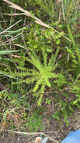
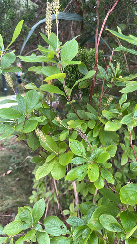
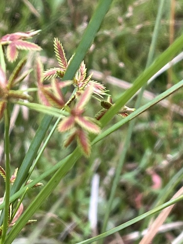
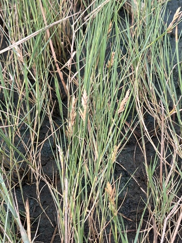
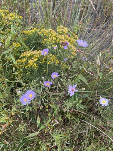
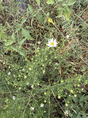

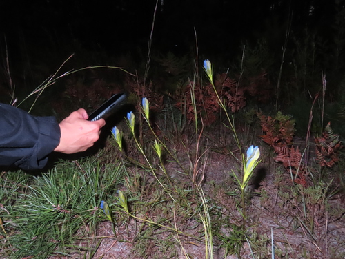
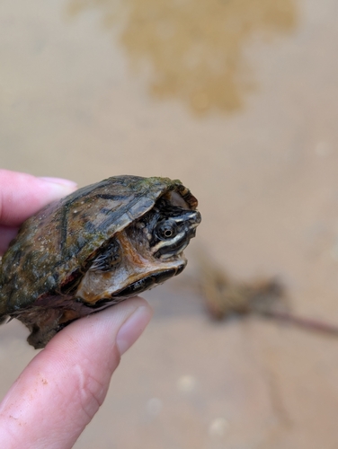
Research-grade observations from iNaturalist (within ~15 mi).
Nearest stream gauge
Events
Gallery
Sources
- • Wikipedia
- • US Census Bureau (ACS 5-year estimates)
- • NOAA National Weather Service
- • Wikidata
- • NCES via Urban Institute Education Data Portal
- • iNaturalist
- • CDC PLACES
- • Open-Meteo / sunrise-sunset.org
- • Wikipedia Pageviews API
- • Open Library