Browse / United States / New Jersey / Montvale
Montvale
New Jerseyborough

Montvale
Total population
8,901
Median home value
$709,700
Bachelor's+
Median income
$178,269
Founded
1894
Demographic figures from US Census Bureau · ACS 5-year estimates. Overview below cites Wikipedia and may reference a different year.
- Coastal Flood Warning · SevereCoastal Flood Warning issued September 25 at 4:44PM EDT until September 27 at 6:00PM EDT by NWS Upton NY
- Coastal Flood Advisory · MinorThe Coastal Flood Advisory has been replaced. Please see the latest information from NWS Upton NY on this developing situation.
- Wind Advisory · ModerateWind Advisory issued September 25 at 2:48PM EDT until September 27 at 6:00AM EDT by NWS Upton NY
Source: NOAA National Weather Service.
City facts
Facts from Wikidata (CC0).
Overview
Montvale is a borough in northern Bergen County, in the U.S. state of New Jersey, bordering the state of New York. The borough is part of the New York City metropolitan area. As of the 2020 United States census, the borough's population was 8,436, an increase of 592 (+7.5%) from the 2010 census count of 7,844, which in turn reflected an increase of 810 (+11.5%) from the 7,034 counted in the 2000 census.
Read more on WikipediaHistory & geography
History
Montvale was incorporated as a borough on August 31, 1894, from portions of Orvil Township and Washington Township. The borough was formed during the "Boroughitis" phenomenon then sweeping through Bergen County, in which 26 boroughs were formed in the county in 1894 alone. On February 15, 1896, Montvale acquired part of Orvil Township. In 1906, Montvale added further land from Orvil and Washington townships, and in 1912, Montvale added territory from Upper Saddle River. The borough's name is derived from its topography. Montvale is nicknamed "The Pride of the Pascack Valley". As of 2026, the borough is a member of Local Leaders for Responsible Planning in order to address the borough's Mount Laurel doctrine-based housing obligations.
Geography
According to the U.S. Census Bureau, the borough had a total area of 4.03 square miles (10.45 km2), including 4.02 square miles (10.42 km2) of land and 0.01 square miles (0.03 km2) of water (0.25%). Unincorporated communities, localities and place names located partially or completely within the township include Chestnut Ridge. Montvale is served by the Garden State Parkway at exits 171 and 172, as well as the New York State Thruway in Chestnut Ridge.
Excerpted from the corresponding Wikipedia article (CC BY-SA).
Demographics & economy
Race & ethnicity
Source: US Census Bureau — American Community Survey, 5-year estimates.
Geography
Coordinates & boundaries from the US Census TIGER/Line shapefiles.
Climate
Current forecast
Forecast for Montvale, NJ from NOAA NWS API.
Air quality
Industrial & pollution facilities
Natural hazard risk
Health (adults)
Age-adjusted prevalence estimates from CDC PLACES (latest release).
Walkability
Amenities nearby
Wildlife & biodiversity
Schools
Earthquake history
Photos
Sights & places nearby
Notable people from here


People born within ~10 km, from Wikidata (CC0). Click any name for their Wikipedia article.
Nearby places in New Jersey
- Park Ridge1.3 mi away · pop. 9,406
- Woodcliff Lake2.1 mi away
- Upper Saddle River2.8 mi away
- Hillsdale3.3 mi away · pop. 10,144
- Westwood4.6 mi away
- Ramsey5.2 mi away
- Emerson5.6 mi away · pop. 7,305
- Northvale5.9 mi away · pop. 4,829
- Oradell6.8 mi away · pop. 8,235
- Haworth6.9 mi away · pop. 3,363
- Rockleigh7 mi away
- Closter7.2 mi away · pop. 8,606
Geography & sun
Elevation, sunrise/sunset and daylight from Open-Meteo. Solar climatology from NASA POWER.
Nearby airports
Public attention
Pageview totals from the Wikimedia Pageviews API.
Books about Montvale


Search results from Open Library.
Recent natural events nearby
Ground air-quality sensors
Recently spotted species
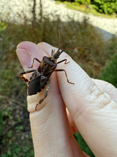
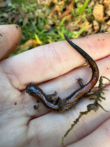
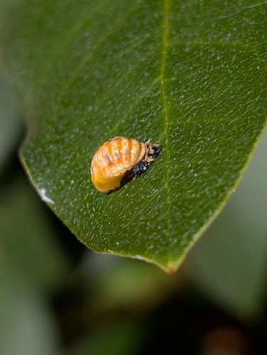
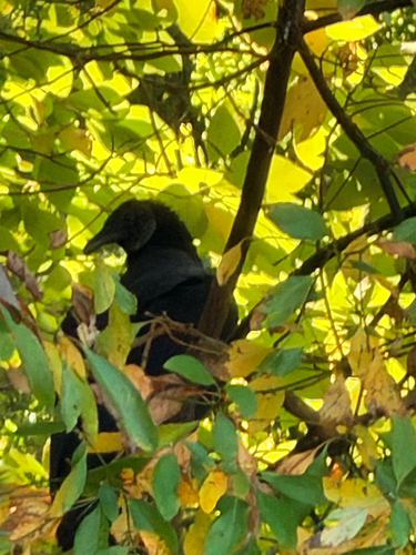
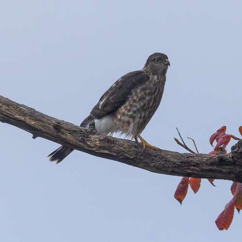
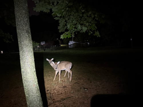
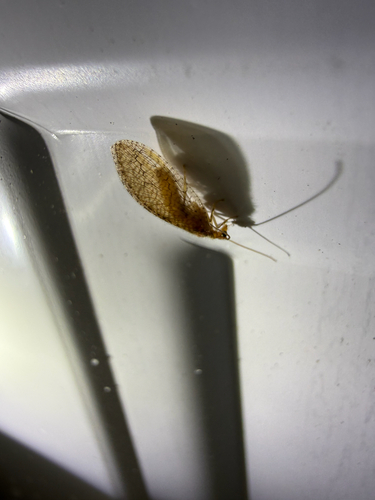
Research-grade observations from iNaturalist (within ~15 mi).
Nearest stream gauge
Live readings from USGS NWIS · measured 2026-10-12 14:25 UTC.
Events
Gallery
Sources
- • Wikipedia
- • US Census Bureau (ACS 5-year estimates)
- • NOAA National Weather Service
- • Wikidata
- • USGS NWIS (water data)
- • iNaturalist
- • CDC PLACES
- • Open-Meteo / sunrise-sunset.org
- • Wikipedia Pageviews API
- • Open Library