Browse / United States / New Jersey / Wharton
Wharton
New Jerseyborough

Wharton
Total population
7,318
Median home value
$380,700
Bachelor's+
Median income
$85,767
Demographic figures from US Census Bureau · ACS 5-year estimates. Overview below cites Wikipedia and may reference a different year.
City facts
Overview
Wharton is a borough in Morris County, in the U.S. state of New Jersey. As of the 2020 United States census, the borough's population was 7,241, an increase of 719 (+11.0%) from the 2010 census count of 6,522, which in turn reflected an increase of 224 (+3.6%) from the 6,298 counted in the 2000 census.
Read more on WikipediaHistory & geography
History
In 1831, the Morris Canal was completed from Newark to Phillipsburg, New Jersey across the Delaware River from the terminus of the Lehigh Canal. On the way, it passed through Boonton, Dover and Port Oram. On this route it tapped the Morris County ore fields and became a carrier for both ore and pig iron. Its main purpose, however, was as an extension of the Lehigh Canal to furnish a route for anthracite coal from the Pennsylvania mines to seaboard. Any local traffic was a gain to supplement the through anthracite freight and iron ore and its products soon became important sources of revenue. Sites on the canal were selected for docks and industry, including iron works. On June 28, 1895, voters from the settlements Port Oram, Irondale, Luxemburg, Maryville and Mount Pleasant voted 143 to 51 to incorporate as the borough Port Oram, the largest of the communities in the area covering west of Dover, New Jersey. A mayor, six councilmen, an assessor and a collector were elected to govern the new borough which had started life as an ore shipping port on the Morris Canal. These elected officials (mine superintendents, store owners, a railroad superintendent and a schoolteacher) represented the leaders of these settlements where iron ore was mined, smelted and shipped. and during the winter studied chemistry at the laboratory of Martin Hans Boyè in Philadelphia. He started producing zinc and nickel, and gradually bought a controlling interest in Bethlehem Iron Works. As his business interests expanded he purchased substantial shares of several railroads involved in the coal and iron trade, also purchasing iron mines and furnaces near Port Oram. After selling his interest in Bethlehem Iron Works in 1901 and his nickel works to CVRD Inco in 1902, he continued to actively…
Geography
According to the United States Census Bureau, the borough had a total area of 2.13 square miles (5.51 km2), including 2.07 square miles (5.37 km2) of land and 0.06 square miles (0.14 km2) of water (2.63%). Unincorporated communities in the borough include Irondale, Luxemburg, Maryville, Mount Pleasant and Port Oram. The climate in this area is characterized by hot, humid summers and generally mild to cool winters. According to the Köppen Climate Classification system, Wharton has a humid subtropical climate, abbreviated Cfa on climate maps.
Excerpted from the corresponding Wikipedia article (CC BY-SA).
Demographics & economy
Race & ethnicity
Source: US Census Bureau — American Community Survey, 5-year estimates.
Geography
Coordinates & boundaries from the US Census TIGER/Line shapefiles.
Climate
Air quality
Industrial & pollution facilities
Natural hazard risk
Health (adults)
Age-adjusted prevalence estimates from CDC PLACES (latest release).
Walkability
Amenities nearby
Wildlife & biodiversity
Schools
Largest nearby schools
- Morristown High SchoolHigh · MORRISTOWN · 1,868 students · 13.4:1 ratio
- Mount Olive High SchoolHigh · FLANDERS · 1,493 students · 12.7:1 ratio
- Morris Knolls High SchoolHigh · DENVILLE · 1,447 students · 11.1:1 ratio
- Randolph High SchoolHigh · RANDOLPH · 1,349 students · 11.1:1 ratio
- Roxbury High SchoolHigh · SUCCASUNNA · 1,192 students · 9.8:1 ratio
- Morris Hills High SchoolHigh · ROCKAWAY · 1,187 students · 10.1:1 ratio
- Dover High SchoolHigh · DOVER · 1,159 students · 13.3:1 ratio
- Mount Olive Middle SchoolMiddle · BUDD LAKE · 1,109 students · 10.8:1 ratio
Public K–12 schools within ~10 mi from Urban Institute Education Data Portal (NCES Common Core of Data, 2022).
Earthquake history
Photos
Sights & places nearby
Notable people from here


People born within ~10 km, from Wikidata (CC0). Click any name for their Wikipedia article.
Nearby places in New Jersey
Geography & sun
Nearby airports
Public attention
Books about this place
Recent natural events nearby
Ground air-quality sensors
Recently spotted species
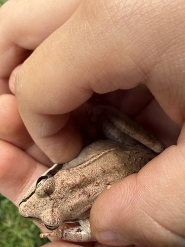
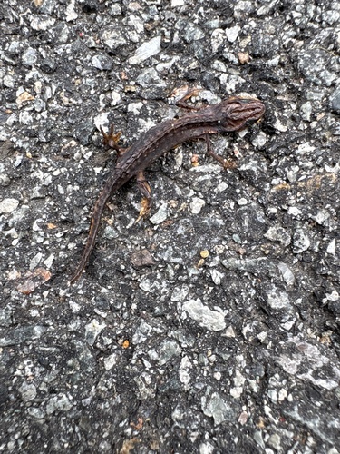
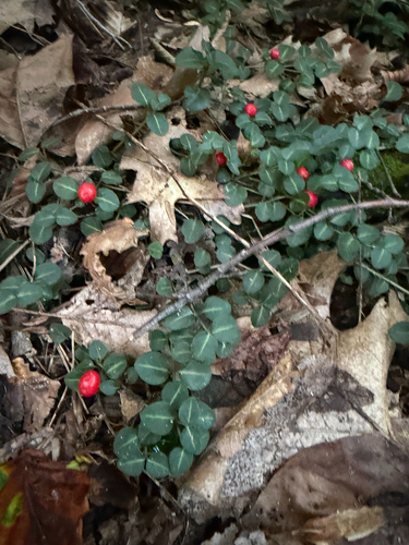
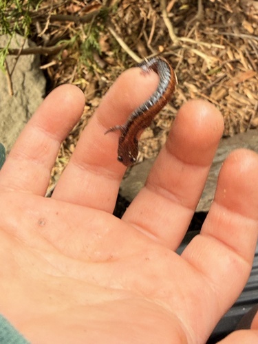
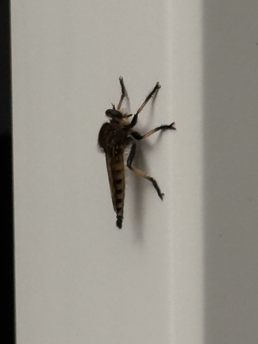
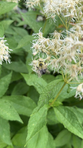
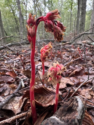
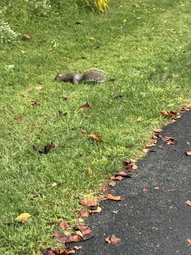
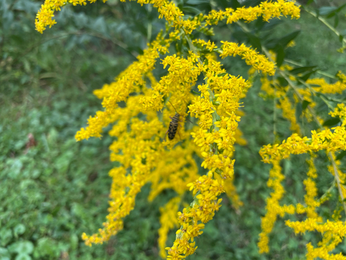
Research-grade observations from iNaturalist (within ~15 mi).
Nearest stream gauge
Events
Gallery
Sources
- • Wikipedia
- • US Census Bureau (ACS 5-year estimates)
- • Wikidata
- • NCES via Urban Institute Education Data Portal
- • iNaturalist
- • CDC PLACES