Browse / Netherlands / North Holland / Amsterdam
Amsterdam
North Hollandcity

Amsterdam
Total population
881,933
Founded
1300
Air quality index
Demographic figures from CBS Netherlands. Overview below cites Wikipedia and may reference a different year.
City facts
Facts from Wikidata (CC0).
Overview
Amsterdam is the capital and largest city of the Netherlands. As of 1 January 2026, it had a population of 941,873 within the city proper, 1,457,018 in the urban area and 2,480,394 in the metropolitan area. Located in the Dutch province of North Holland, Amsterdam is colloquially referred to as the "Venice of the North", for its large number of canals, now a UNESCO World Heritage Site.
Read more on WikipediaHistory & geography
History
Due to its geographical location in what used to be wet peatland, the founding of Amsterdam is later than other urban centres in the Low Countries. However, around the area of what later became Amsterdam, farmers settled as early as three millennia ago. They lived along the prehistoric IJ river and upstream of its tributary the Amstel. The prehistoric IJ was a shallow and quiet stream in peatland behind beach ridges. This secluded area was able to grow into an important local settlement centre, especially in the late Bronze Age, the Iron Age and the Roman Age. Neolithic and Roman artefacts have also been found in the prehistoric Amstel bedding under Amsterdam's Damrak and Rokin, such as shards of Bell Beaker culture pottery (2200–2000 BC) and a granite grinding stone (2700–2750 BC), but the location of these artefacts around the river banks of the Amstel probably points to the presence of a modest semi-permanent or seasonal settlement. Until water issues were controlled, a permanent settlement would not have been possible, for during this period the river mouth and the banks of the Amstel were too wet for permanent habitation. The origins of Amsterdam are linked to the development of a dam on the Amstel River called Amestelle, meaning 'watery area', from Aa(m) 'river' + stelle 'site at a shoreline', 'river bank'. In this area, land reclamation started as early as the late 10th century. Amestelle was located along a side arm of the IJ. This sidearm took its name from the eponymous land: Amstel. Amestelle was inhabited by farmers, who lived more inland and more upstream, where the land was not as wet as at the banks of the downstream river mouth. These farmers were starting the reclamation around upstream Ouderkerk aan de Amstel, and later at the other side of the river…
Geography
Amsterdam is located in the Western Netherlands, in the province of North Holland, the capital of which is not Amsterdam, but rather Haarlem. The river Amstel ends in the city centre and connects to a large number of canals that eventually terminate in the IJ. Amsterdam's elevation is about below sea level. The surrounding land is flat as it is formed of large polders. An artificial forest, Amsterdamse Bos, is in the southwest. Amsterdam is connected to the North Sea by the North Sea Canal. Amsterdam is intensely urbanised, as is the Metropolitan Region Amsterdam surrounding the city. Comprising of land, the city proper has 4,457 inhabitants per km2 and 2,275 houses per km2. Parks and nature reserves make up 12% of Amsterdam's land area. Amsterdam has more than of canals, most of which are navigable by boat. The city's three main canals are the Prinsengracht, the Herengracht, and the Keizersgracht. In the Middle Ages, Amsterdam was surrounded by a moat, called the Singel, which now forms the innermost ring in the city, and gives the city centre a horseshoe shape. The city is also served by a seaport. It has been compared with Venice, due to its division into about 90 islands, which are linked by more than 1,200 bridges. Amsterdam has an oceanic climate (Köppen: Cfb) strongly influenced by its proximity to the North Sea to the west, with prevailing westerly winds. Amsterdam, as well as most of the North Holland province, lies in USDA Hardiness zone 8b. Frosts mainly occur during spells of easterly or northeasterly winds from the inner European continent. Even then, because Amsterdam is surrounded on three sides by large bodies of water, as well as having a significant heat-island effect, nights rarely fall below , while it could easily be in Hilversum,…
Excerpted from the corresponding Wikipedia article (CC BY-SA).
Geography
Coordinates & boundaries from the US Census TIGER/Line shapefiles.
Climate
10-year averages from ERA5 reanalysis (Open-Meteo).
Air quality
Current readings from Open-Meteo Air Quality API (Copernicus CAMS European reanalysis).
Walkability
Amenities nearby
Wildlife & biodiversity
Most-observed species
- Eurasian CootFulica atra Linnaeus, 1758 · Aves53,046
- MallardAnas platyrhynchos Linnaeus, 1758 · Aves45,393
- Eurasian MagpiePica pica (Linnaeus, 1758) · Aves44,383
- Carrion CrowCorvus corone Linnaeus, 1758 · Aves41,301
- Eurasian BlackbirdTurdus merula Linnaeus, 1758 · Aves41,288
- Gray/Purple HeronArdea cinerea Linnaeus, 1758 · Aves41,058
- Great TitParus major Linnaeus, 1758 · Aves38,502
- Western JackdawColoeus monedula (Linnaeus, 1758) · Aves37,750
Citizen-science & research observations from the Global Biodiversity Information Facility (GBIF).
Earthquake history
Most recent
- M 2.9 — 2008-10-1119 km WNW of Egmond aan Zee, Netherlands
- M 3.7 — 2001-09-1254 km WNW of Petten, Netherlands
- M 3.4 — 2001-09-1010 km W of Wijk aan Zee, Netherlands
Events from the USGS Earthquake Catalog (global) (FDSN Event Web Service).
Photos
Sights & places nearby
Notable people from here


People born within ~10 km, from Wikidata (CC0). Click any name for their Wikipedia article.
Nearby places in North Holland
- Schellingwoude3.1 mi away · pop. 545
- Duivendrecht3.5 mi away · pop. 4,785
- Diemen3.6 mi away · pop. 27,272
- Zunderdorp3.9 mi away · pop. 625
- Landsmeer4 mi away · pop. 10,140
- Durgerdam4.1 mi away · pop. 420
- Sloten4.5 mi away
- Ransdorp4.5 mi away · pop. 295
- Oostzaan4.6 mi away · pop. 9,730
- Amstelveen5 mi away · pop. 89,321
- Badhoevedorp5.1 mi away · pop. 12,937
- Watergang5.2 mi away · pop. 545
Geography & sun
Elevation, sunrise/sunset and daylight from Open-Meteo. Solar climatology from NASA POWER.
Nearby airports
Public attention
Pageview totals from the Wikimedia Pageviews API.
Books about Amsterdam
Search results from Open Library.
Recent natural events nearby
Ground air-quality sensors
Recently spotted species
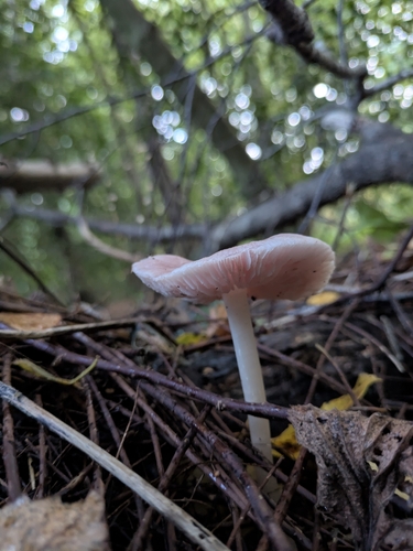
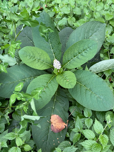
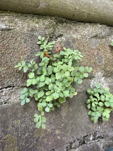
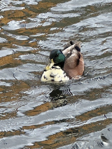
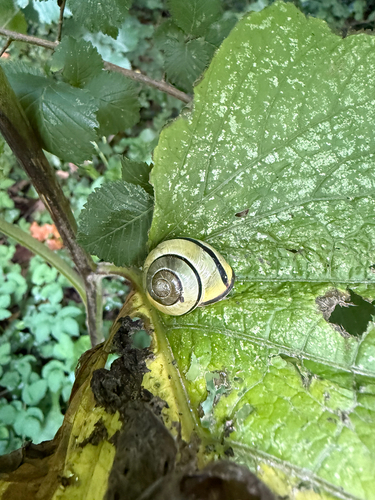
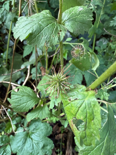
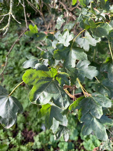
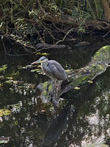
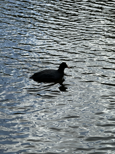
Research-grade observations from iNaturalist (within ~15 mi).
Events
Notable, recurring, and historical events associated with Amsterdam, sourced from Wikidata.
- EU-Nough Tech Rules? The Realities of Scaling in EuropeJun 30, 2026event
2026 technology policy event in Amsterdam
- Gymnaestrada 2023Aug 6, 2023recurring event edition
international gymnastics festival, held in Amsterdam, Netherlands
- TNW Conference 2022Jun 16, 2022event
- 2020 EdisonsJan 1, 2020award ceremony
- 2018 The PassionJan 1, 2018recurring event edition
- Aug 12, 2017
- Dec 5, 2016
- Q23712189Mar 21, 2016award ceremony
- Jan 1, 2003
- Gymnaestrada 1991Jul 15, 1991recurring event edition
international gymnastics festival, held in Amsterdam, Netherlands
- Second Congress of the International Association for Neo-Latin StudiesJan 1, 1973recurring event edition
- Jul 1, 1971
- Mar 20, 1971
- Q1855632recurring event
Source: Wikidata (CC0).
Gallery
Geotagged photos within ~6 miles of Amsterdam, from Wikimedia Commons contributors.

.jpg)
.jpg)

.jpg)
.jpg)
.jpg)
.jpg)
.jpg)
.jpg)


.jpg)
.jpg)
.jpg)
.jpg)
.jpg)
.jpg)
.jpg)
.jpg)
.jpg)
.jpg)
.jpg)
.jpg)
Photos via Wikimedia Commons — see each image page for license & attribution.
Official Identifiers
CBS — Statistics Netherlands
- CBS code
- 0363
- Population (Wikidata)
- 917,923
- Wikidata
- Q9899
Gemeente codes via Wikidata P382
Sources
- • Wikipedia
- • Open-Meteo (ERA5 reanalysis)
- • Wikimedia Commons
- • Wikidata
- • Open-Meteo Air Quality (CAMS)
- • USGS Earthquake Catalog (global feed)
- • GBIF (Global Biodiversity Information Facility)
- • iNaturalist
- • Open-Elevation
- • Open-Meteo / sunrise-sunset.org
- • Wikipedia Pageviews API
- • Open Library
- • CBS — Statistics Netherlands, municipality code via Wikidata P382
- • CBS — Statistics Netherlands — Gemeente codes via Wikidata P382