Browse / Netherlands / North Holland / Schellingwoude
Schellingwoude
North Hollandvillage

Schellingwoude
Total population
545
Air quality index
Demographic figures from CBS Netherlands. Overview below cites Wikipedia and may reference a different year.
City facts
Overview
Schellingwoude is a neighbourhood of Amsterdam, Netherlands. A former village located on the northern shore of the IJ, in the province of North Holland, it was a separate municipality between 1817 and 1857, when it was merged with Ransdorp; the latter merged with Amsterdam in 1921. Nowadays it is part of the Amsterdam-Noord borough and the Landelijk Noord district.
Read more on WikipediaHistory & geography
History
In order to stop the land loss caused by the Zuiderzee, farmers began around 1200 to build the Waterlandse Zeedijk. On this dike, the village Schellingwoude was founded. Sources of income were farming and fishing. During the 14th century, trade began to flourish, and took on greater importance in the 16th century, owing to the growth in shipping in this part of Holland. Competition with Amsterdam was enormous, however, so commerce around shipping declined. In those days Schellingwoude was a village of distinction. For the surrounding villages, the administration of justice took place in Schellingwoude. In 1622, the population of Schellingwoude was 1,048; by 1809 this number had fallen to 684. The decline in the trade and shipping activities was the main cause of this reduction. Activities that remained were farming, fishing and some industrial activity. In 1800, Schellingwoude had two mills. An important complex of locks, the Oranje Locks, together with a steam pumping station, was ready in 1872. King Willem III had laid the first stone on 29 April 1870. The Oranjesluizen and the Schellingwouder Bridge, built in 1957 over the Buiten-IJ, are two landmarks at the east side of the village. With the arrival of the Oranjesluizen, Schellingwoude got a boost. The lock created new jobs and new houses were built. The village supported around five pubs at that time. The villages at the Waterlandse Zeedijk were extremely stricken by the flood of 1916 and could not recover on their own: in 1921, Amsterdam incorporated the villages Buiksloot, Nieuwendam (with Zunderdorp) and Ransdorp (with Schellingwoude, Durgerdam and Holysloot).
Excerpted from the corresponding Wikipedia article (CC BY-SA).
Geography
Coordinates & boundaries from the US Census TIGER/Line shapefiles.
Climate
Air quality
Current readings from Open-Meteo Air Quality API (Copernicus CAMS European reanalysis).
Walkability
Amenities nearby
Wildlife & biodiversity
Most-observed species
- Eurasian CootFulica atra Linnaeus, 1758 · Aves50,283
- Eurasian MagpiePica pica (Linnaeus, 1758) · Aves47,928
- MallardAnas platyrhynchos Linnaeus, 1758 · Aves45,116
- Gray/Purple HeronArdea cinerea Linnaeus, 1758 · Aves41,293
- Eurasian BlackbirdTurdus merula Linnaeus, 1758 · Aves40,351
- Carrion CrowCorvus corone Linnaeus, 1758 · Aves40,044
- Great TitParus major Linnaeus, 1758 · Aves35,687
- Common BuzzardButeo buteo (Linnaeus, 1758) · Aves35,610
Citizen-science & research observations from the Global Biodiversity Information Facility (GBIF).
Earthquake history
Most recent
- M 2.9 — 2008-10-1119 km WNW of Egmond aan Zee, Netherlands
- M 3.7 — 2001-09-1254 km WNW of Petten, Netherlands
- M 3.4 — 2001-09-1010 km W of Wijk aan Zee, Netherlands
- M 3.8 — 2001-09-097 km W of Egmond aan Zee, Netherlands
Events from the USGS Earthquake Catalog (global) (FDSN Event Web Service).
Photos
Sights & places nearby
Notable people from here
Nearby places in North Holland
- Durgerdam1.2 mi away · pop. 420
- Ransdorp1.5 mi away · pop. 295
- Zunderdorp1.6 mi away · pop. 625
- Diemen2.9 mi away · pop. 27,272
- Amsterdam3.1 mi away · pop. 881,933
- Holysloot3.3 mi away · pop. 260
- Broek in Waterland3.7 mi away · pop. 2,715
- Landsmeer3.8 mi away · pop. 10,140
- Watergang3.9 mi away · pop. 545
- Duivendrecht3.9 mi away · pop. 4,785
- Zuiderwoude4.5 mi away · pop. 300
- Uitdam5.1 mi away · pop. 120
Geography & sun
Elevation, sunrise/sunset and daylight from Open-Meteo. Solar climatology from NASA POWER.
Nearby airports
Public attention
Pageview totals from the Wikimedia Pageviews API.
Books about this place
Recent natural events nearby
Ground air-quality sensors
Recently spotted species
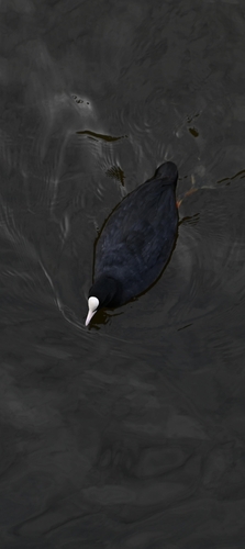
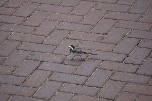
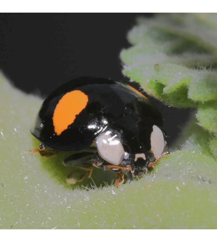
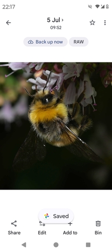
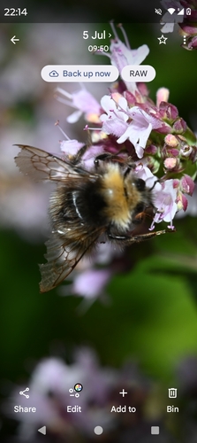
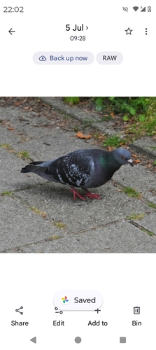
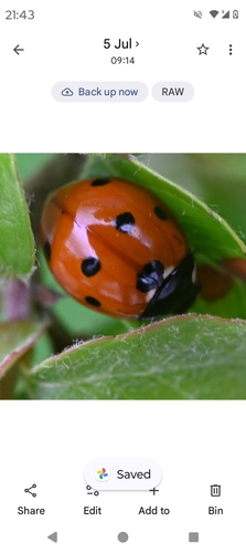
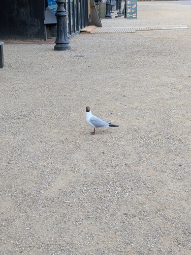
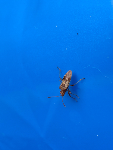
Research-grade observations from iNaturalist (within ~15 mi).
Events
Gallery
Geotagged photos within ~6 miles of Schellingwoude, from Wikimedia Commons contributors.
 0 mi
0 mi 0 mi
0 mi 0 mi
0 mi_is_a_cultural_building_now_and_very_often_used_for_weddings_-_panoramio.jpg) 0 mi
0 mi 0 mi
0 mi 0 mi
0 mi 0 mi
0 mi 0 mi
0 mi 0 mi
0 mi 0 mi
0 mi 0 mi
0 mi 0 mi
0 mi_brown_spores_and_causes_white_rot,_in_the_Willow_tr_-_panoramio.jpg) 0 mi
0 mi 0.1 mi
 0.1 mi
 0.1 mi
 0.1 mi
 0.1 mi
 0.1 mi
 0.1 mi
 0.1 mi
 0.1 mi
 0.1 mi
_in_the_backgarden_at_Schellingwoude_-_panoramio.jpg) 0.1 mi
0.1 miPhotos via Wikimedia Commons — see each image page for license & attribution.
Official Identifiers
CBS — Statistics Netherlands
- CBS code
- 1368
- Population (Wikidata)
- 141
- Wikidata
- Q2264716
Gemeente codes via Wikidata P382
Sources
- • Wikipedia
- • Wikimedia Commons
- • Open-Meteo Air Quality (CAMS)
- • USGS Earthquake Catalog (global feed)
- • GBIF (Global Biodiversity Information Facility)
- • iNaturalist
- • Open-Meteo / sunrise-sunset.org
- • Wikipedia Pageviews API
- • CBS — Statistics Netherlands, municipality code via Wikidata P382
- • CBS — Statistics Netherlands — Gemeente codes via Wikidata P382